
| Lakes Home | Walking Home |
Lake District April 22nd to 24th 2008
Quick links (all on this page)
Tuesday: bimbling around Ambleside
Wednesday: Skiddaw from Latrigg car park
Thursday: Eskdale Fell from Hardknott Pass
Tuesday 22nd
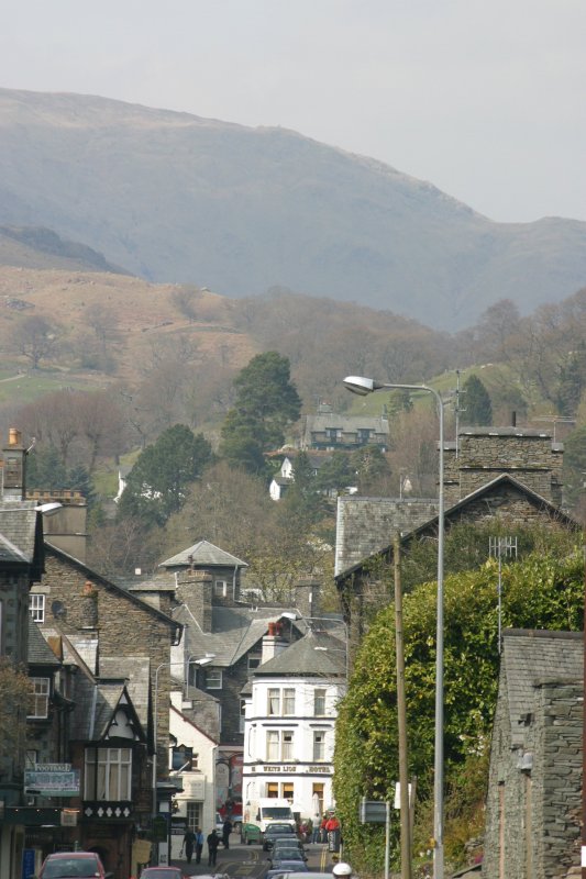
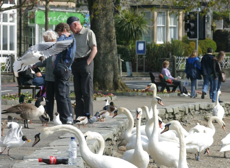
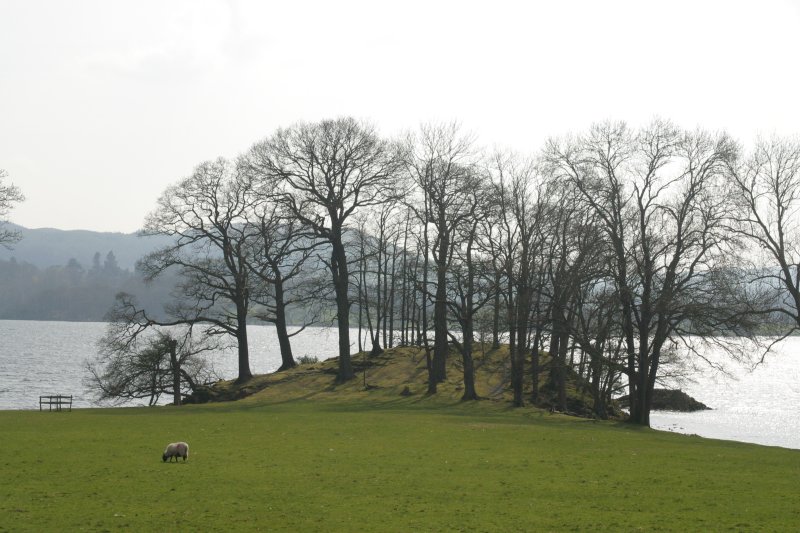
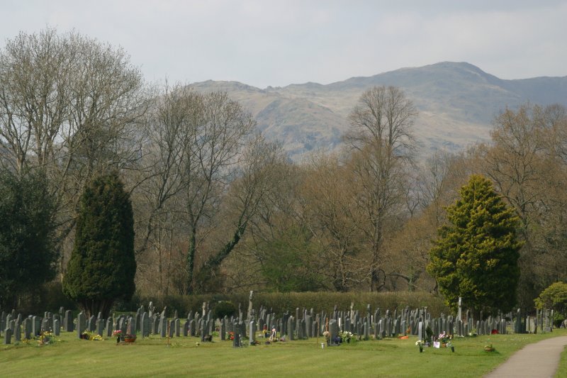
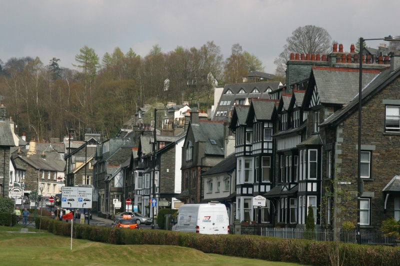
A couple of weeks before this trip I had bought a new second-hand camera (if you see what I mean). In those days, I would set off about 09:00 and arrive in the Lakes at about 13:00. Usually I would schedule a shortish walk for that afternoon, but on this occasion I wanted to play with the camera, so I just spent the afternoon out and about. So here are some pictures of Ambleside and area: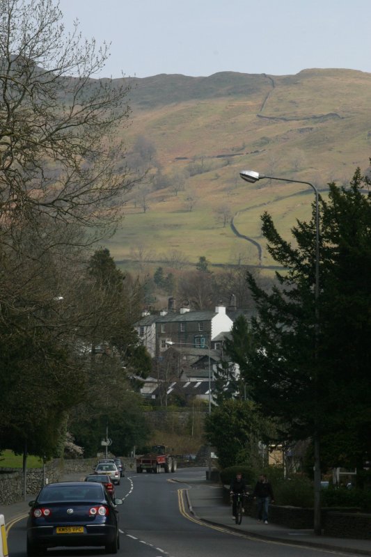

Wednesday 23rd
Skiddaw the easy way, starting at the car park behind Latrigg. Since
the car park is at about 300m altitude, it's a help up - you're already
one-third of the way tot he 931m summit. In practice most of my start
points are at around 200m anyway, so it's not a big advantage. Skiddaw
was on The List due to its height, and the walk looked a simple one -
which it is. Essentially it's just a straight haul up a fairly steep
slope, after which the gradient eases a lot, and then you just trek on
up past Little Man to the top. Doing Little Man as well is pretty easy,
but I decided not to bother. The first couple of pictures are of the
view down from the top of the steep bit. The second picture shows the
car park I started from i the background: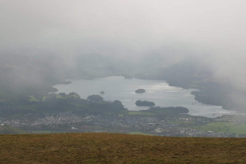
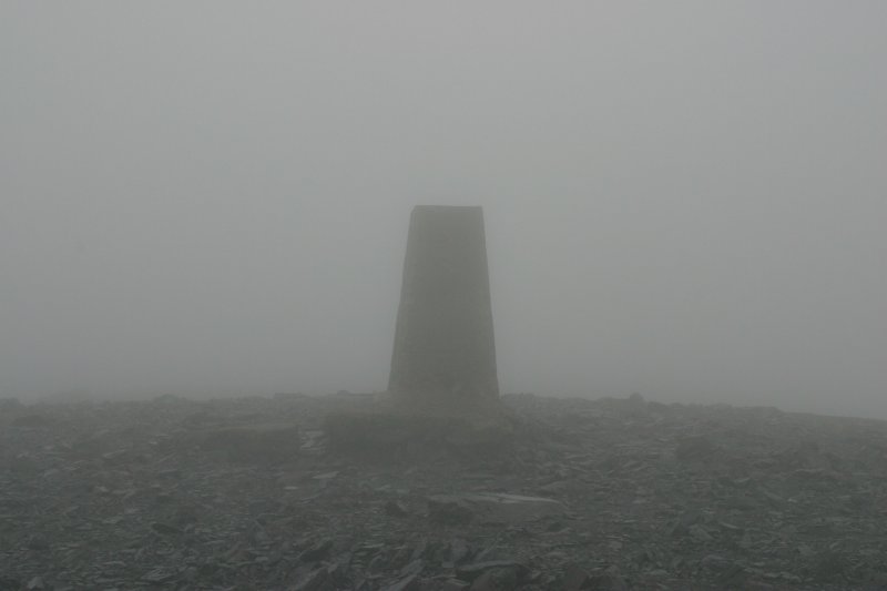
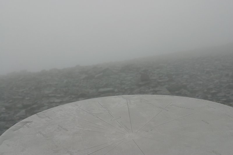
As you can see, the weather was patchy when I started, with the odd bit of rain, but nothing severe. But enough to mean that you couldn't see anything from the top. Notice the trig point and the excellent visibility.
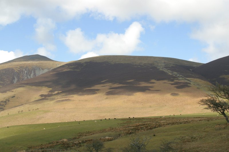
Of course, as is so often the case, the weather started clearing from about half an hour after I left the top. By the time I got to the bottom it looked like this:
Still, it's a good walk for (energetic) beginners, and I up and down in about four hours.
Thursday 24th
This trip still counts as my least successful walk. What I planned
to do was to walk to the top of Scafell (not Scafell Pike). The big
problem was my base in Ambleside. To climb Scafell Pike I would go to
Seathwaite and walk from there. But to do Scafell from that start point
is to extend the walk to a point where I felt it was too long. You
can't realistically climb the Pike, then just keep going to Scafell,
because a horrible obstacle called Broad Stand gets in the way. Getting
around it involves a big descent and then re-ascent. Going around
Scafell Pike isn't easy either. So that means a new start point. The
most common start is from Wasdale Head (see my trip in April 2012), but
that's a two hour drive from Ambleside - it's not a huge distance, but
it is a lot of very slow roads. So I had another plan: to start at Wha
House Farm at the bottom of Hardknott Pass, then go almost due North
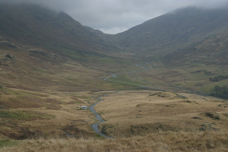
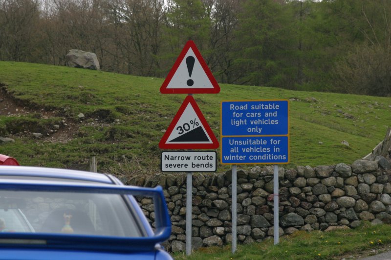
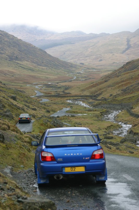
over Quagrigg Moss. The OS map showed a path, so it must be OK, right? The first bit was to get to the start point, which is an hour from Ambleside. Wrynose and Hardknott Passes are serious driving, with frequent 1-in-4 slopes (plus at least 1-in-3), blind bends, outside cambers, slippery wet roads in wet weather (which it was), and the minor inconvenience that much of it is single-track with "passing places" (aka a slightly wider bit over a long steep slope). It's great fun, especially in an AWD car. But quick it is not.
This is Wrynose and Hardknott Passes:
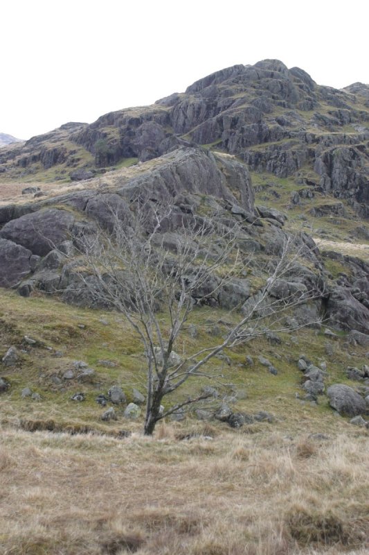
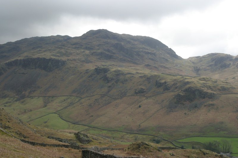
Anyway, I got to Wha House Farm, and set off. By now it was about 10:30, which is pretty late to start in September as it is getting dark by about 18:00. The fisrt part was pretty straightforward: up past Hare Crag and Goat Crag to the gap below Cat Crag. I'm sure there ought to be a Dog Crag there somewhere, but it's not on the map.This is Cat Crag, followed by the views back down into the valley and along the slope.
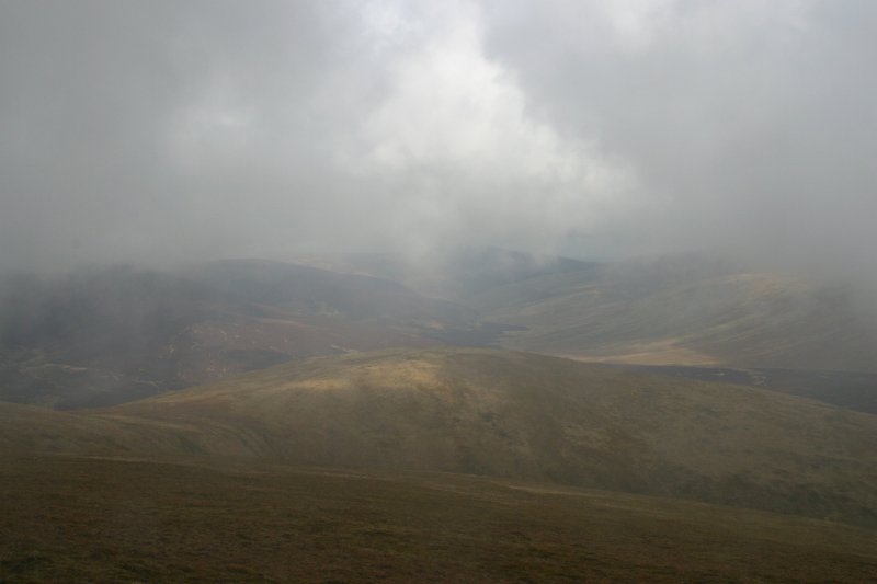
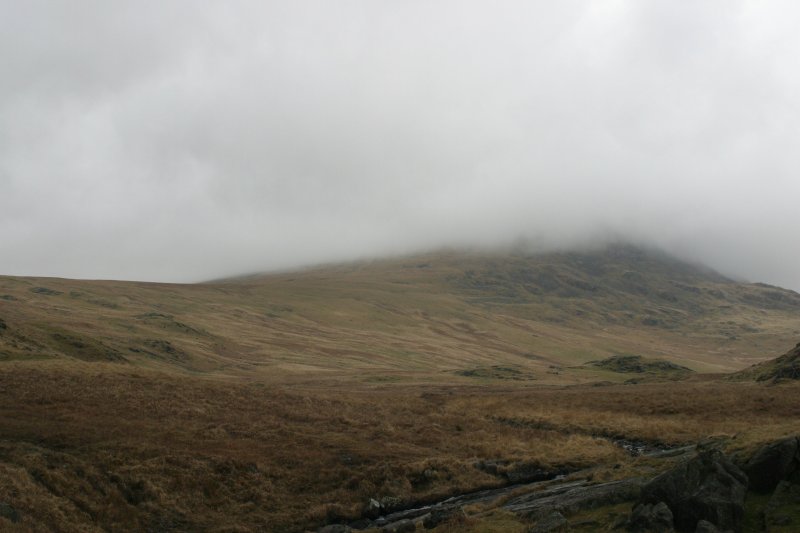
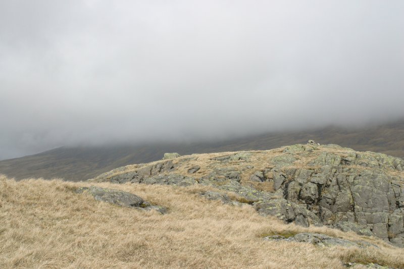
From now on the ground leveled a lot, and would stay that way until the slope up Horn Crag. And it was now that things started to go wrong. Essentially, as the name Quagrigg Moss should imply, the whole area is a huge bog, capturing all the run-off from the Scafell Massif. With wet weather tending to come in from the West in the UK, the rain would mostly fall this side of the hills. As a result, the flattish ground is saturated in all but a drought. And this summer had been pretty wet. The so-called "path" I had seen on the OS map barely existed: unlike some places, there had been no attempt to lay stones to make walking easier and erosion less of a problem. This left good old traditional moor walking: soft ground punctuated by alternating hard grass tussocks and patches of ground too soft to stand on. I went in up to my knee several times, and ankle-deep to often to mention. This wasn't a major issue from a comfort standpoint, as I wear good leather boots (Brasher Hillmasters at that point) and gaiters, so my feet stayed dry. No, the problem was time. I was making forward progress across this swamp at the sort of speed I normally go up steep slopes, a speed known in the trade as "like a snail". It was obvious after an hour of walking/stumbling/wading, that it would likely be getting on for 15:00 before I reached the summit of Scafell, assuming I still had the energy to do so. So basically I wimped out at that point. I looked for a handy nearby peak and assigned that as my new target.
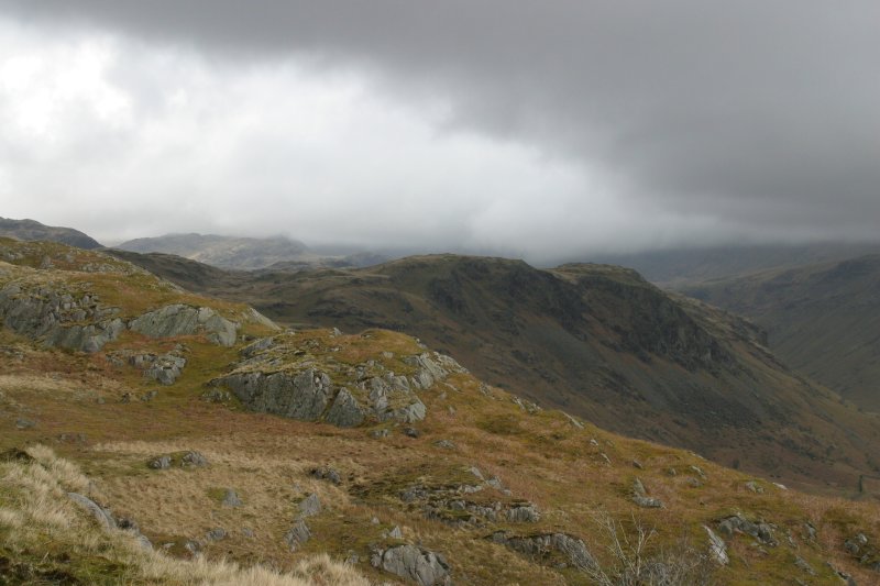
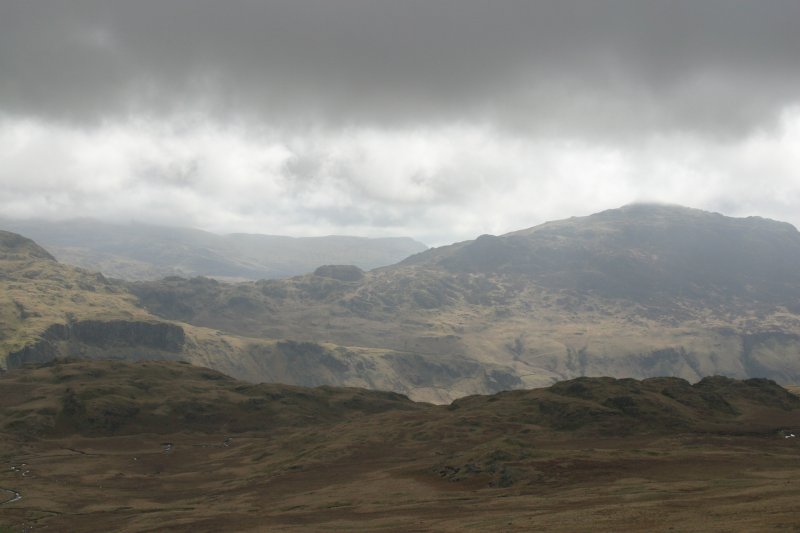
The pictures below don't really show how wet the land is, but they do give you an idea of the flatness. The peak shrouded in fog is (I think) Horn Crag, putting the cloud-base at that point at about 600m.
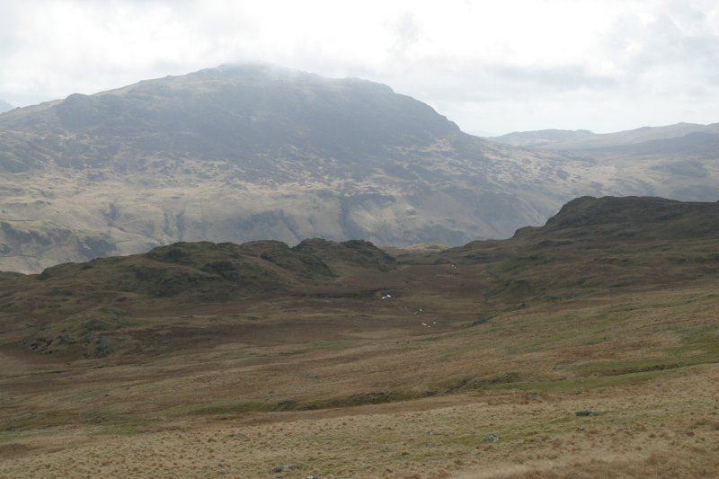
After a couple of minutes I realised that I didn't have a lot of choice, due to the severe lack of nearby hills, so I chose Great How, part of Eskdale Fell. A massive 522m above sea-level. This was the view towards Scafell. The weather did lift a bit later, and I could see the top of Horn Crag (just) by about 15:00. I should point out that even the short walk from North of Cat Crag involved a lot of zigzagging to avoid the deeper bits, and try to stay on firm ground.
After that major anti-climax, I went back the way I came. Near the back of cat Crag on the return trip I found a narrow stream, about 10cm wide, and stepped over it. Into black mad that came up to my crotch. After a short panic because I was still sinking, I fell forward and then dragged myself out (I didn't use poles in those days). It then took half an hour with handfuls of grass to wipe the worst of stinking mud off.