| Lakes Home | Walking Home |
Lake District 5th to 7th May 2009
Quick links (all on this page)
Tuesday: Red Screes from Ambleside
Wednesday: Great End from Seathwaite (not completed)
Thursday: High Street from Hartsop
Tuesday 5th
I walked a fair way up towards Red Screes from Ambleside. Not all the way because a) I started fairly late, and b) it was raining heavily when I started and kept it up the whole four hours I was out. That's the reason there are no pictures either - I didn't even bother with the camera because it was so wet. I repeated this walk a couple of years later, and did managed to finish that time.Wednesday 6th
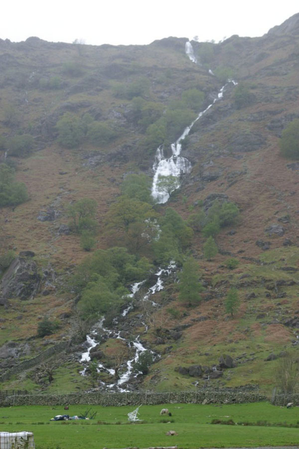
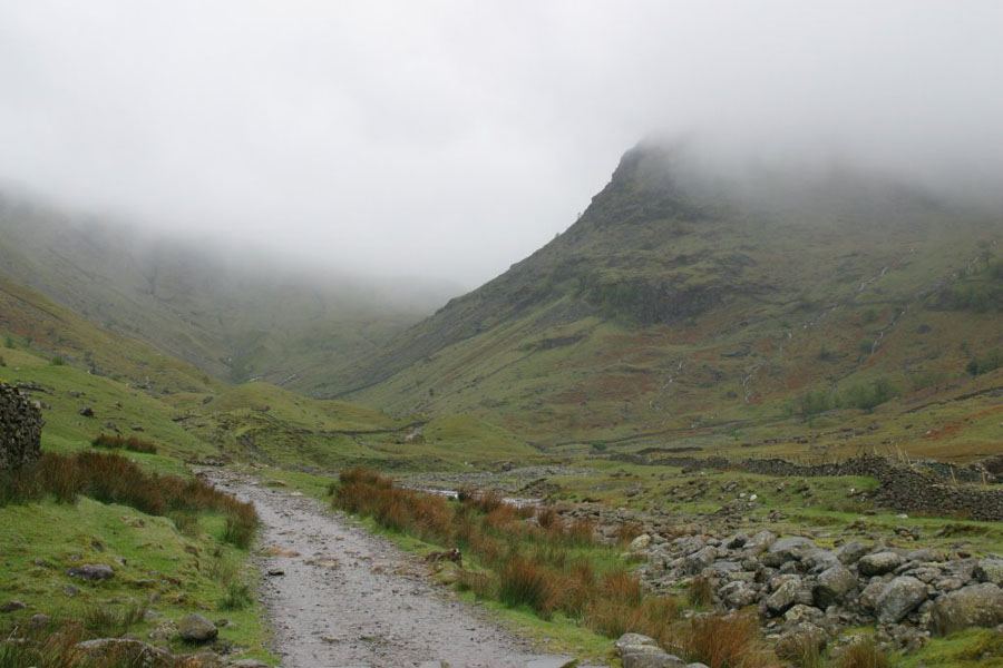
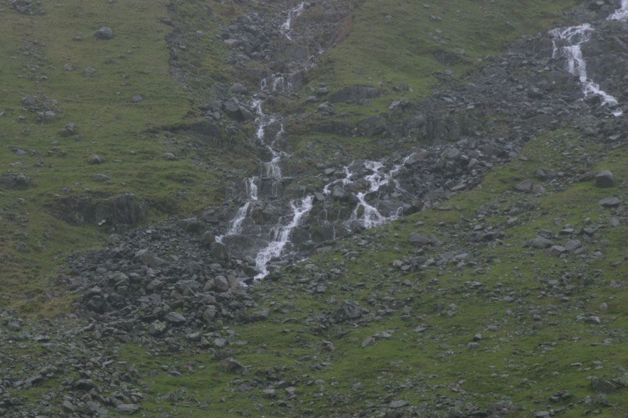
I planned to climb Great End from Seathwaite. I was going to do the route up Grains Gill and Esk Hause and then turn right, rather than carry on across Broad Crag. As you will see from the photos, the cloud base was about 500 metres, and it started to rain fairly heavily as soon as I set off. This was Seathwaite farm, and the peak in the background is Seathwaite Fell. Close by on the right is Newhouse Gill, show better on the next picture: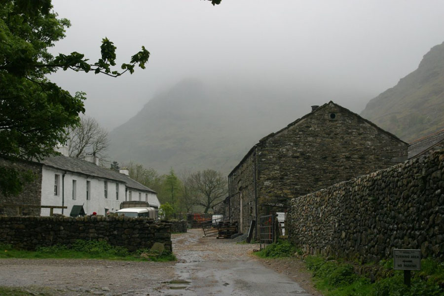
I should point out that the blurring at the top is not my poor photography, but due to the heavy rain obscuring everything.
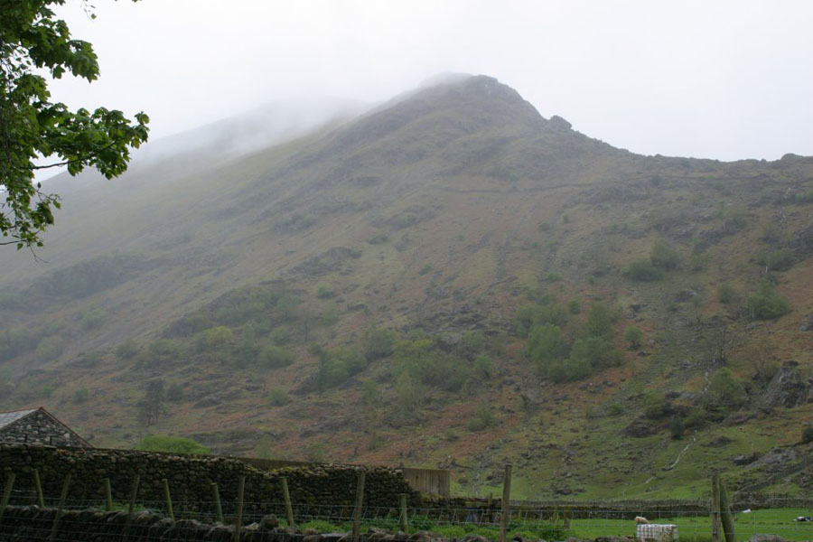
Also on the right as you set off, Base Brown (odd name I know).
The path sets off at a fairly gentle gradient up the valley between Glaramara (left here) and Seathwaite Fell.
The gap between Seathwaite Fell and Base Brown.
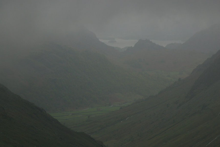
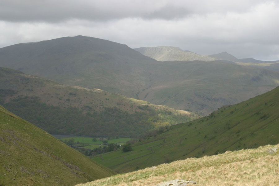
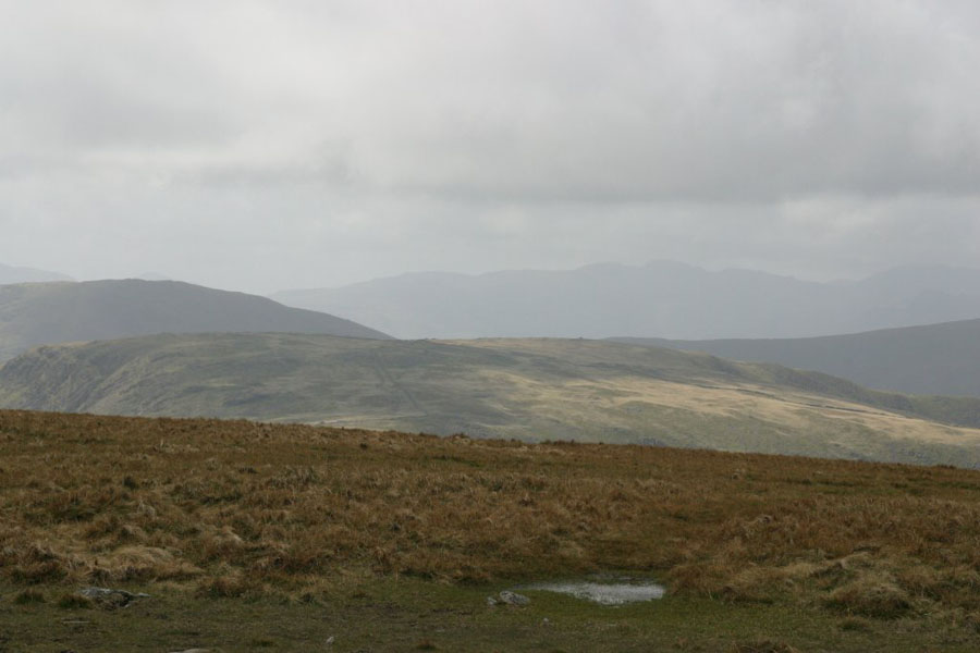
The last shot of the day: Derwent Water from partway up Seathwaite Fell. As you can see, I'm almost in the clouds already and I'm barely a third of the way to the top.
It was a waste of time taking any more pictures, as visibility soon fell to 20 metres at best, and the photos would be very dull. I also have to report that I failed to make it: I literally couldn't find Great End. I got to the saddle of land between Broad Crag and Great End, at about 850 metres, and tried to find the path to the top of Great End. I couldn't see it - or much else. (When I did this walk another year in better weather it turns out that there is no path, and the top of Great End is so flat you'd never work out where you were on it). I tried setting off by compass but ended up at what I think was (in retrospect) the gully between Great end and Broad Crag at the West end of the saddle. I say "ended up at", but a more accurate description would be that I spotted it when it was less than five metres away, and nearly fell down it. I was concious that overshooting the peak of Great End would mean encountering some pretty high cliffs as well. At this point, with driving rain, almost no visibility, and heavy winds, I called it a day.
Thursday 7th
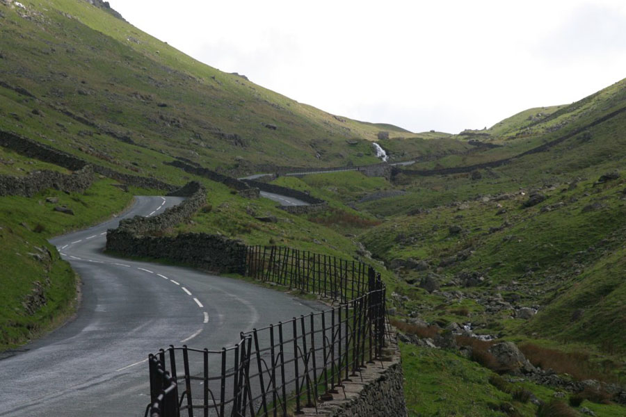
The walk was High Street from Hartsop. On the way I did stop for a couple of photos. The first is from Kirkstone Pass: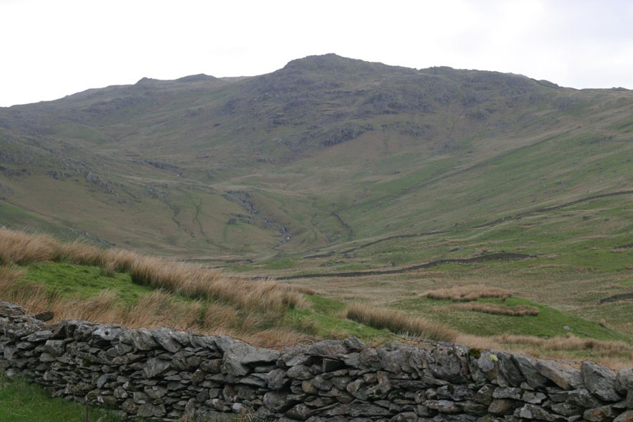
For those who haven't been over it, Kirkstone Pass looks like this:
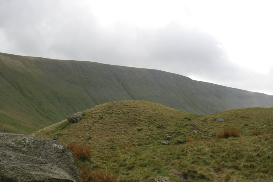
Anyway, the climb. This is Grey Crag - High Street is behind it, and the path climbs up from the village you see and off to the left.
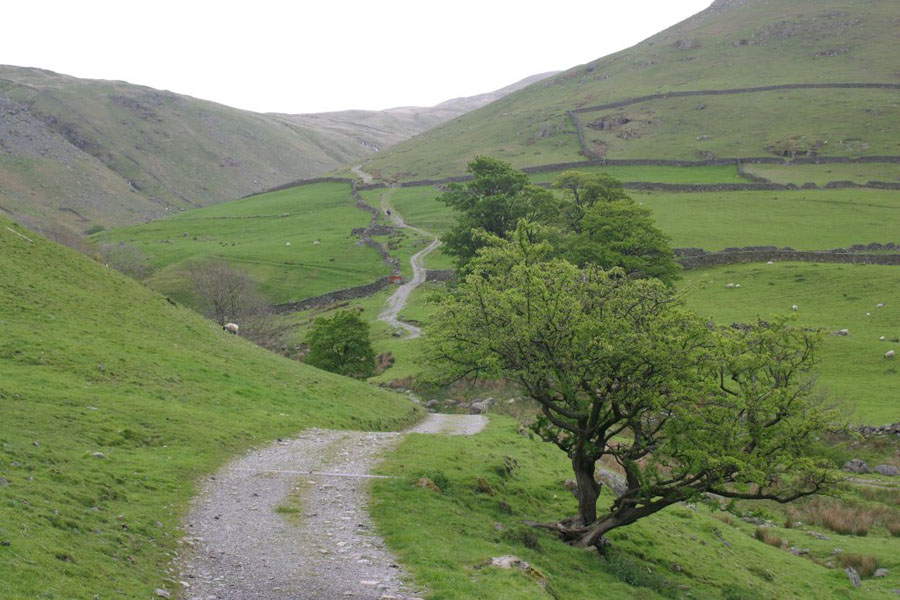
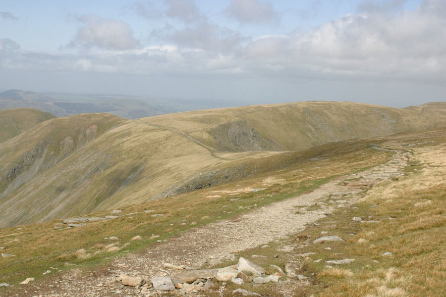
This is Pasture Bottom, off the track to the North. The actual path looks like this:
The first view of High Street, from just below Hayswater
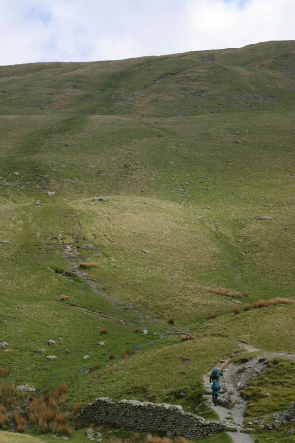
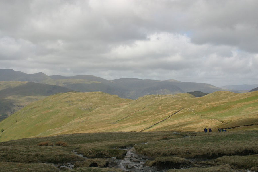
The trek up the side of The Knott.
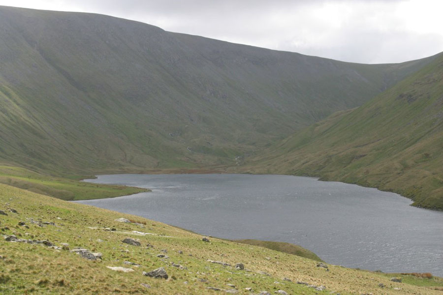
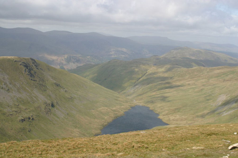
Hayswater itself.
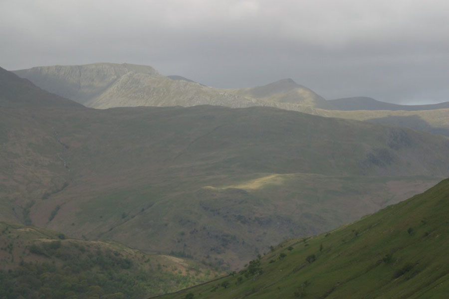
The view back: that long lit ridge is the run up to Striding Edge, plus Striding Edge itself. Top left, and again lit, is Hellvelyn.
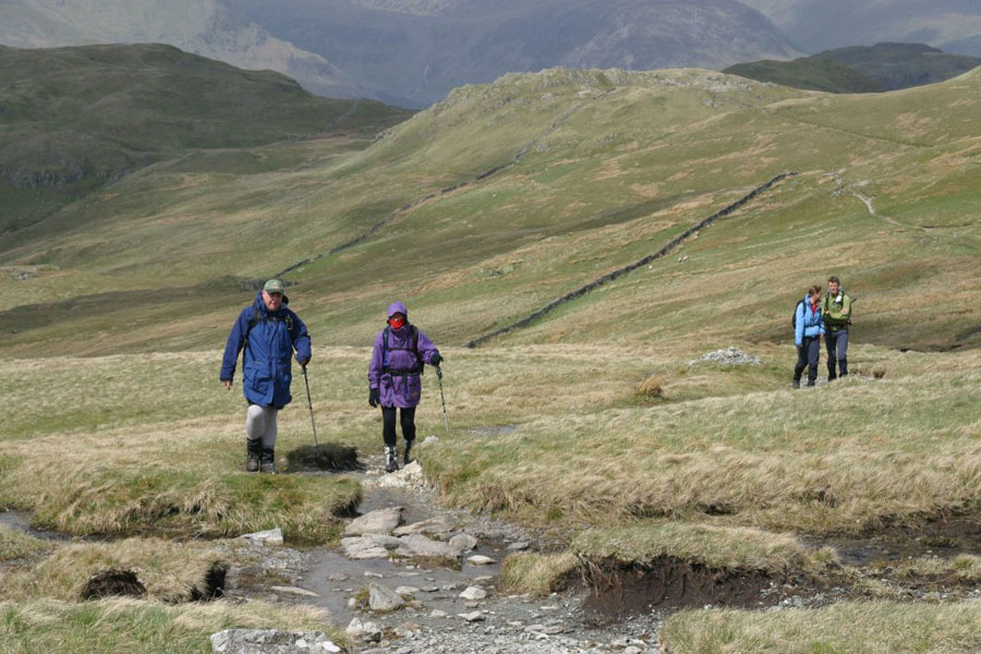
Why it's called High Street - it's nearly as busy as one!
St Sunday Crags in the background, with Hellvelyn (still lit) behind it.
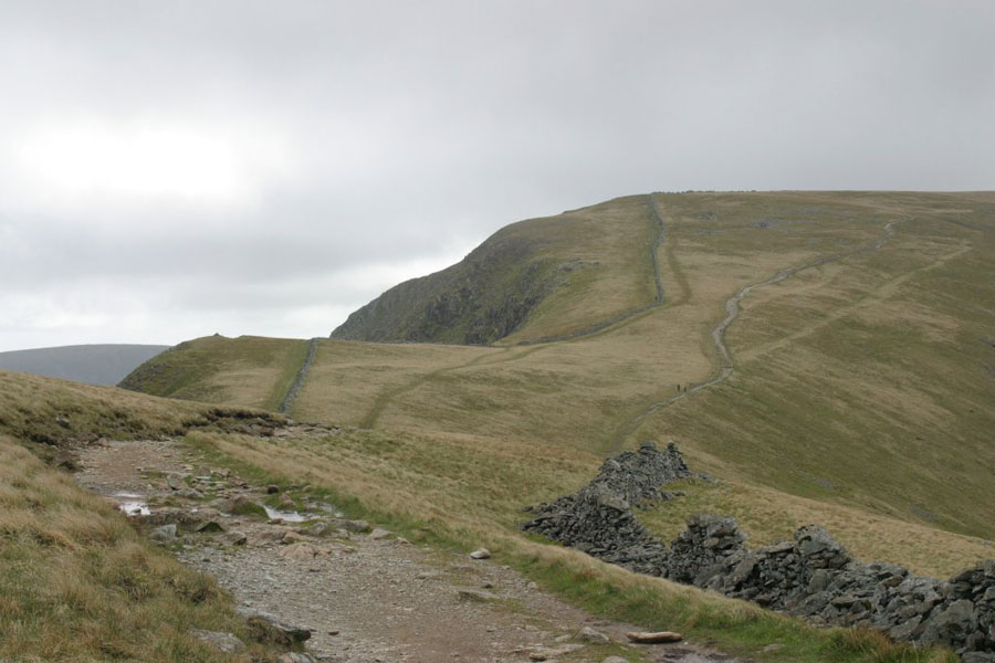
At last, from the top of The Knott, the final run to the summit. The obvious path you see (skirting the hill to the right) follows an old Roman road, hence the peak's name. The wind was blowing from left to right in that picture, so, having come up from the valley on the right, I now encountered the full strength of it - which was considerable. The worst problem was the the when I lifted the poles I use out of the ground, the wind would blow then way over to the right, which in the case of the left-hand pole, meant into just the right position to trip over. Walking became a sort of controlled stagger until I reached the top.
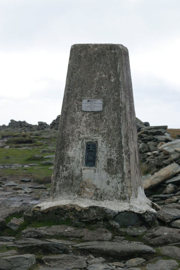
The most welcome sight on any English hill: the trig point! Welcome because it means that it's mostly downhill now. And it means that you're probably in the right place.
Views from the top, respectively (if I remember correctly): West, East, and North-East towards Kidsty Pike. Finally, the view down to Hayswater.
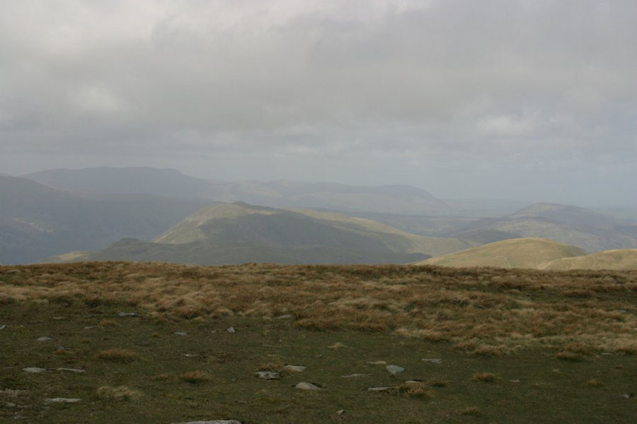
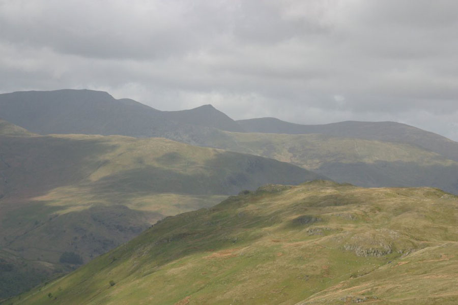
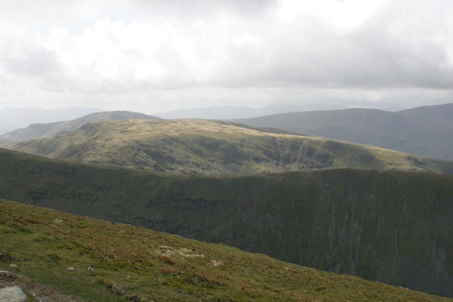
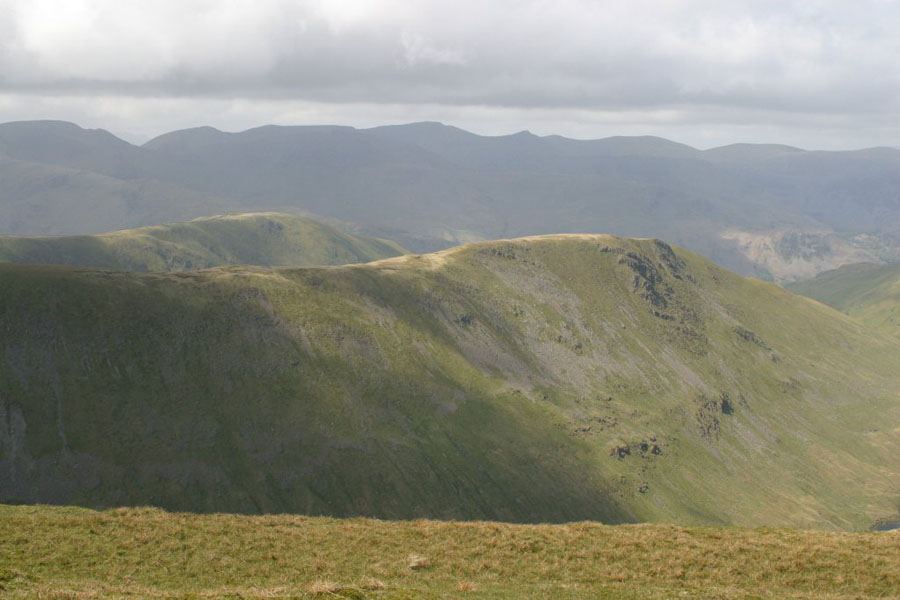
Then Southwest towards Fairfield (don't ask me which one it is, or even if I'm certain it's in the picture), then Grey Crag (the other side of Hayswater).
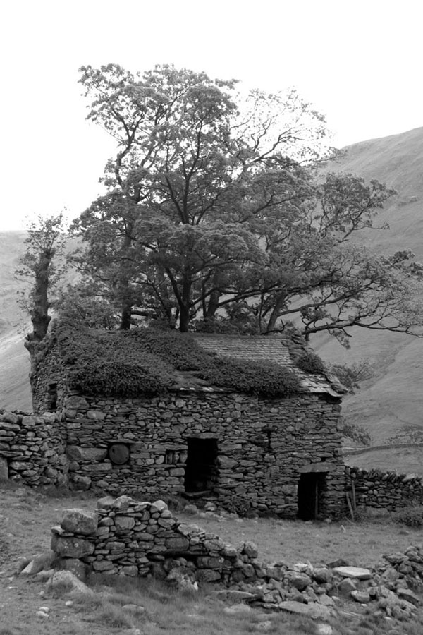
Finally, an artistic shot of an old house. This was near the bottom of the track on the way back down, and looked such a cliché that I couldn't resist this photo.