| Lakes Home | Walking Home |
Lake District September 4th to 6th 2007
Quick links (all this page):
Tuesday: High Pike, but no details.
Wednesday: The Fairfield Horseshoe.
Thursday: Helvellyn via Striding Edge.
Tuesday 4th
From memory (this is being written in 2012), on the afternoon of the
4th I climbed part of the ridge up
to High Pike, above Ambleside. That was before I had decided to do the
Fairfield Horseshoe. I did much the same walk about the first three
times I went to the Lakes. The weather was nearly always foul. Wednesday 5th
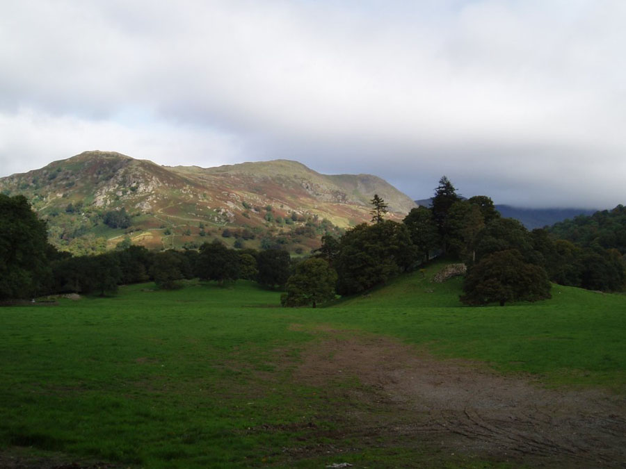
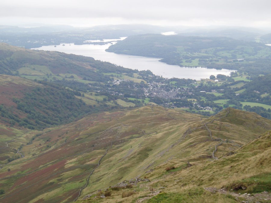
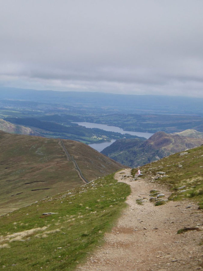
The walk for today was an old classic: the Fairfield Horseshoe. Most route planners sseem to like the anti-clockwise route, but I chose the clockwise way to get the only reasonably steep bit (Nab Scar) out of the way at the beginning. Coming down tends to be more painful than going up, mainly on the knees, and the stteeper the slope, the more pain.The biggest problem on the photgraphic front was the typical Lakeland weather: rain, with a cloud base at 600m. As you will see later, the clouds were just clear of Nab Scar, but most of the rest of the walk was in 50m visibility if I was lucky. So not many pictures. The first picture shows the very start of the route, from just above Rydal House. You can make outt he zig-zag path running up the side of Nab Scar, which is the peak on the left. The walk then runs along the ridge from left to right, and up into the clouds.
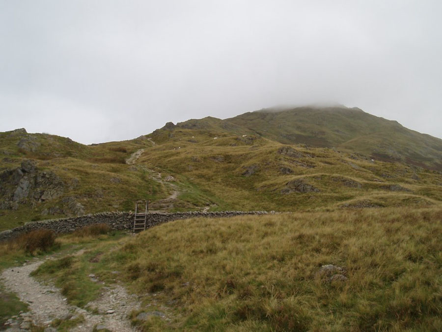
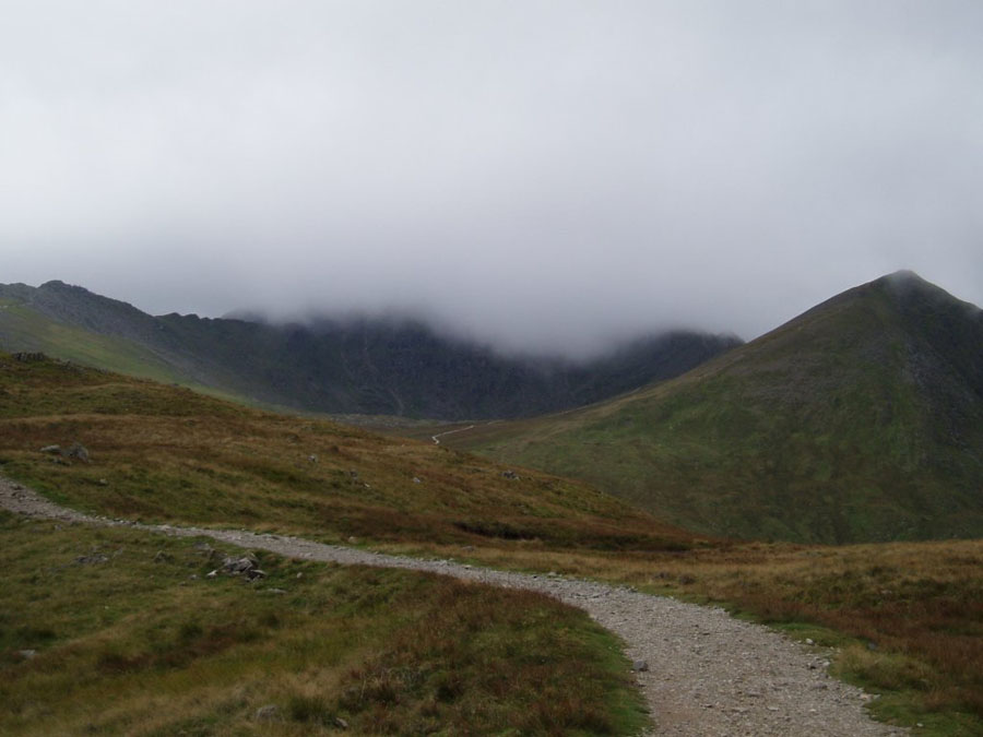
Once above Nab Scar, it was easier to see how dismal the weather was. I ran into a walker here who decided that the complete lack of visibility was a good enough reason for turning back. As you can see below, the next peak along, Heron Pike, has its 612m high summit in cloud.
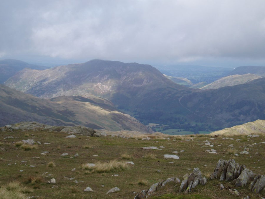
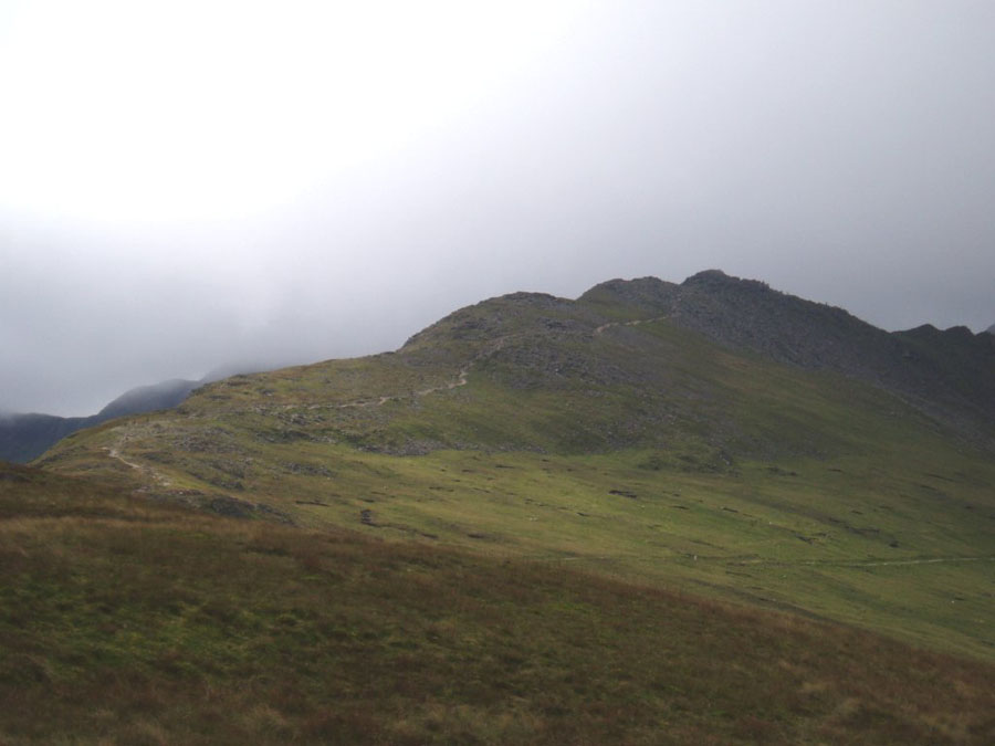
After the top of Heron Pike it was clouds for a very long time. At that time I used map and compass only, not buying the SatMap for some years. For those who haven't been there, I should point out that the top of Fairfield, the highest point at 873m, is essentially a lage plateau covered in loose rock, with four ridges running off it. There are a couple of paths running across it in various directions. Between each of the ridges is a pitched slope of varying degrees of steepness ranging from silly to lethal (the aptly-named Deepdale). In heavy mist it is very hard to end up going the wrong way. Falling over an edge is rare, but walking down the wrong ridge and ending up miles from your destination is certainly not. Actually it's common on several Fells. In this case I worked outt he correct path with the compass, but was lucky enough to meet someone walking the Horseshoe the other way so I could confirm that I was (literally) on the right track. After that it was just more clouds until they finally cleared around High Pike. The next picture is from there. When I first put that picture up I didn't know what it was, but now I think it may be High Hartsop Dodd, with Red Screes just out of sight on the right. Possibly. The pciture after is more obvious: the view down the ridge past Low Pike to Ambleside.
At the time that was the longest walk I've done, and in terms of distance it probably still is (I've done the same walk since), although I've done one walk which took longer (see April 2012)
Thursday 6th
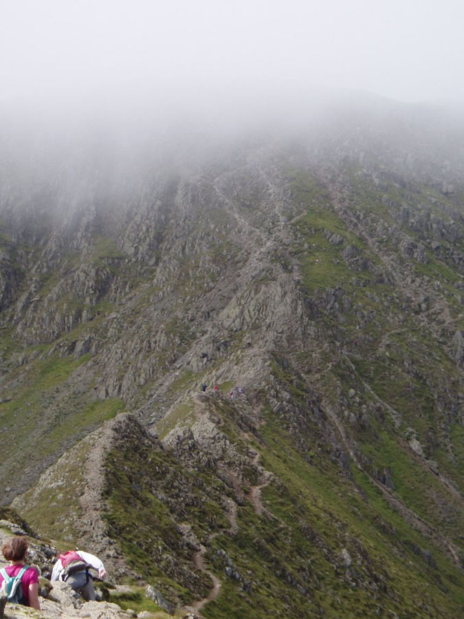
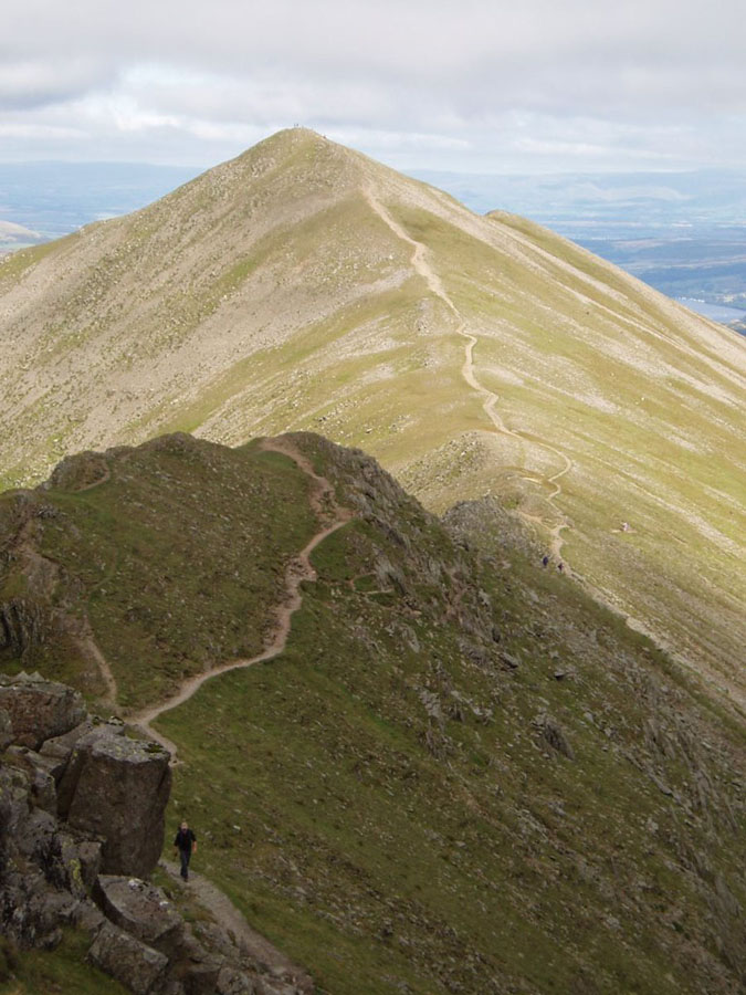
Today an old classic, Helvellyn via Striding Edge. (Small side-bar: "Striding Edge" has got to be the single best-named thing in the whole Lake District, both for the name itself, and the appropriateness of it.) I walked up Helvellyn on my very first trip to the lakes in about 2000, but that time I went up the much shallower slope on the Western side. At the time I had a half-formed plan to come down Striding Edge, but the weather was so bad I couldn't even find it, so went back the way I came. (I should point out that even in driving rain and 20m visibility that day, of the four groups at the top, only one other had a map, and only I had a compass. But that's a whole other story.) This time I was doing one variant of the standard route. Starting at Glenridding, was going up Little Cove to Birkhouse Moor, then along the ridge to Hole-in-the-Wall, then up and over Striding Edge to the top. It would then be down Swirral Edge, and down to the valley and back to base. I toyed with the idea of Catsteye Cam on the way back, but in the event didn't do it. I wish I had, as I will probably never do that peak now.I don't have any useful pictures of the walk as far as Birkhouse Moor, but once there, the next picture shows the view up to Helvellyn. As you will see, the clouds were hovering around 850-900 metres, leaving Striding Edge clear but the summit in the cloud. In that next picture the Edge is the bit to the left of, and just clear of, the clouds.
The next picture is from near Hole-in-the-Wall, and shows the route up to High Spying How.
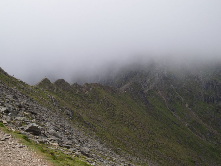
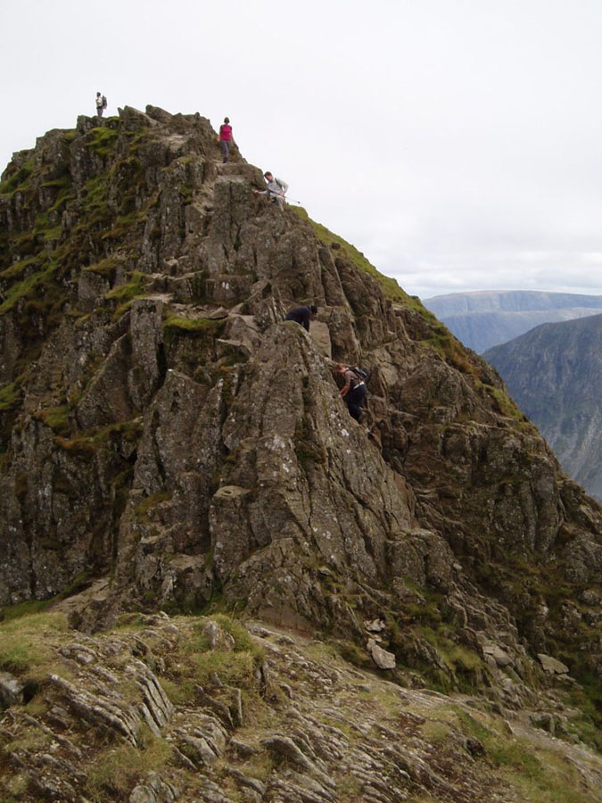
From High Spying How you can finally get an idea of what is involved with crossing Striding Edge. More eagle-eyed viewers may realise that this next picture is the origin of the banner picture for the site. You can see how steep the side is, and the other side is nearly as bad. But at least the cloud is clear of the ridge. The picture after is the view back down from the same point, looking down towards Ullswater,
Finally, Striding Edge itself, from the top of High Spying How:
Now you can see how narrow it is, and how steep both sides are. It's not as insane as Crib Goch or Sharp Edge (and I've not done either of those I should point out), but it is about one metre wide at best (often rather less), but not flat - just a mess of smallish pieces of granite (or similar - I'm not a geologist) at various angles and heights. In a low wind it's really not all that hard, but people can and have fallen off the top - an event which is usually fatal. In wet weather it also tends to be pretty slippery as well, but on that day the weather was dry.
You can also make out the path which runs down the right-hand side (and later swaps to the left) for people who don't fancy the ridge-top itself. In practice the path slopes outwards, and is muddy and very slippery, making it generally worse than the route along the top. Once you are finally across though, it's not over: the last bit is a steepish scramble up nearly 80m to the top.You can also see that the cloud is starting to lift, with the summit now swimming into view (sort of).
Finally, the white dot part-way up the green bit in the background is a fell runner. Lunatic.
But it's not that simple of course, because when you get to the end of Striding Edge you are greeted with this (the view is looking back the way I have just come). Yes, you've got to work out how the **** to get down. Like all such sudden pitches, this is known as (I believe) the Bad Step. The same name is used in at least two other places, of which the best known is the one on Crinkle Crags. You'll notice that the two on their way down have gone down on the right-hand side. If you look the other side of the buttress you can make out a dark bit which is the more common route: The Chimney. It's about four metres down, and a short rock-climb, but fairly sensible, and it's how I came down. It's easy to work out where to put your hands and feet: just aim for the bits which have been polished smooth by generations of hikers.
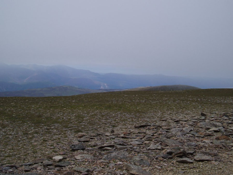
But I finally made it to the top. The cloud had lifted a little more and was literally about a metre above my head at the very summit. Obviously the bottom of the clouds wasn't a solid plane, but a graduation from clear to murk, but you can sort of make it out in the next picture, which is looking South-West towards the Irish Sea.
This next picture was, for a long time, by desktop background: it show Striding Edge fro the top of Helvellyn. Striding Edge itself finishes about halfway across the picture from the right, and then then you get the ordinary ridge up to High Spying How.
The next picture is the One That Got Away: Catstye Cam from the top of Swirral Edge. You get down to Swirral Edge down another steepish scramble, and such things are alway a deal less fun going down than going up. Again you have a choice of ridge or path below. Then the path splits, wit the left going up the Cam, the right going down to Glenridding. I wimped out as I said earlier, and have always regretted it.
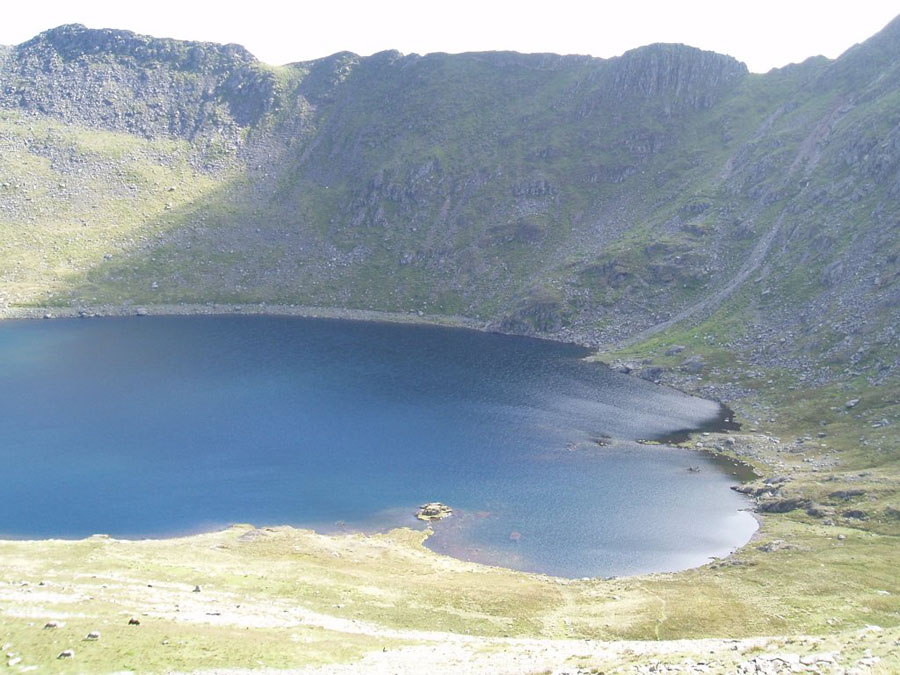
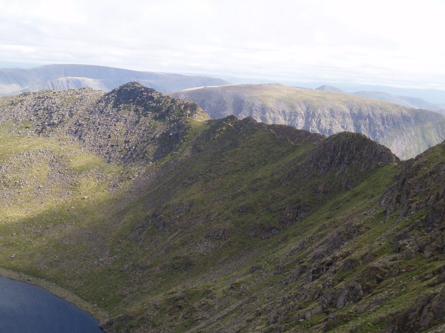
Once last picture of Stridig Edge, this time from below Swirral Edge, and with Red Tarn below it.