
| Lakes Home | Walking Home |
Lake District September 9th to 11th 2008
Quick links (all on this page)
Wednesday: Dollywaggon Pike from
Patterdale
Thursday: Bowfell from Mickleden
Wednesday 10th
I can't remember what I was doing on the Tuesday, but it didn't involve
taking any pictures. But on the Wednsday I set out to do an ascent of
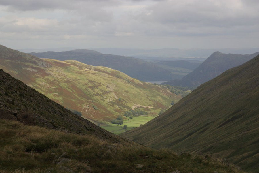
Dollywaggon Pike from Patterdale. How can you see a hill with that name
and not want to climb it? The walk was up Grisedale as far as Grizedale
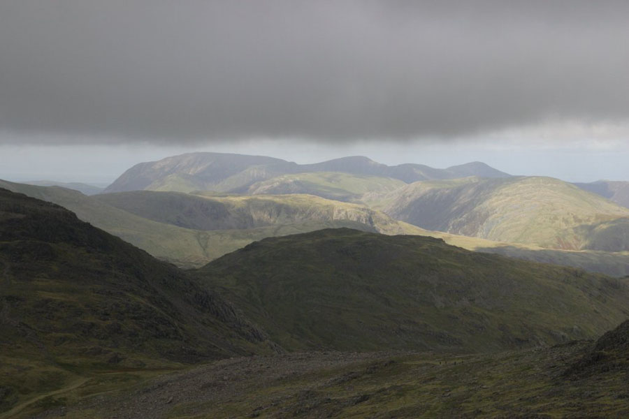
Tarn, then straight up the side of Dollywaggon Pike. This first picture
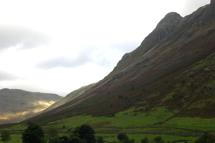
is Low Spying How (just
below Striding Edge) from Grisedale valley.
See that wall running diagonally up the middle of
the picture? That's wall that Hole-in-the-Wall is named after. The gap
is just at the very top where the path from the right meets it.
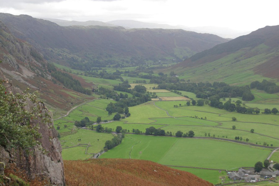
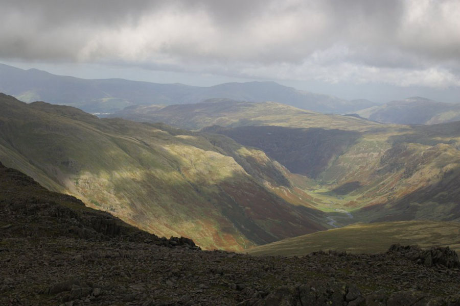
The picture after is from a bit further up the flat bit of Grizedale,
looking up into the bowl of Nethermost Cove. 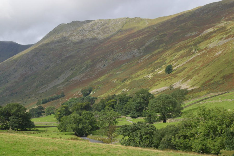
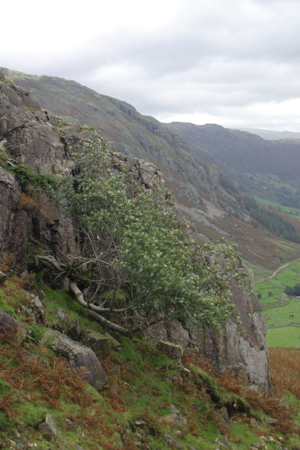
Just a random tree in the valley.

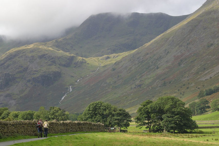
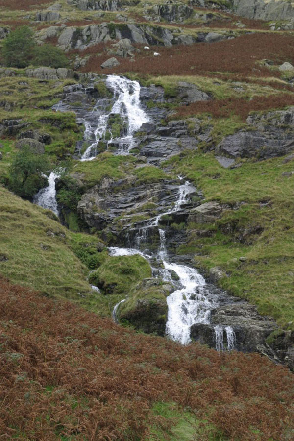
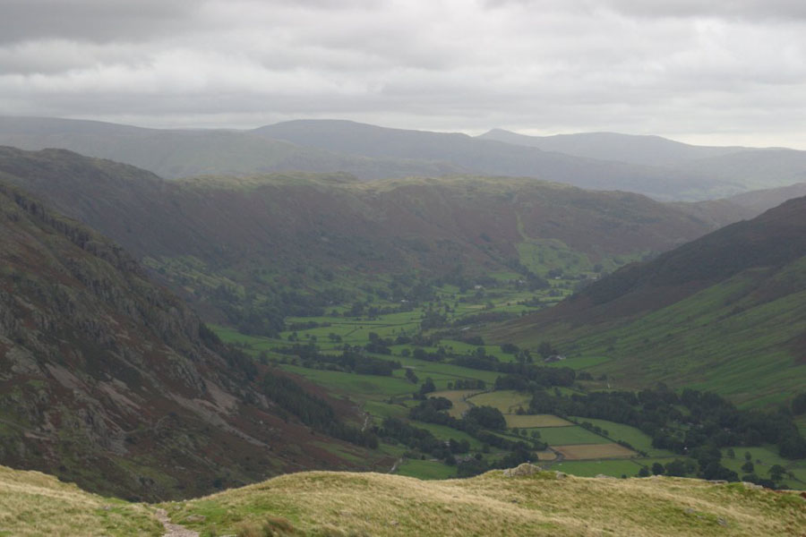
The next pictures are of the slow ascent of the valley as far as Grisedale Tarn. The image properties will tell you what you are looking at.
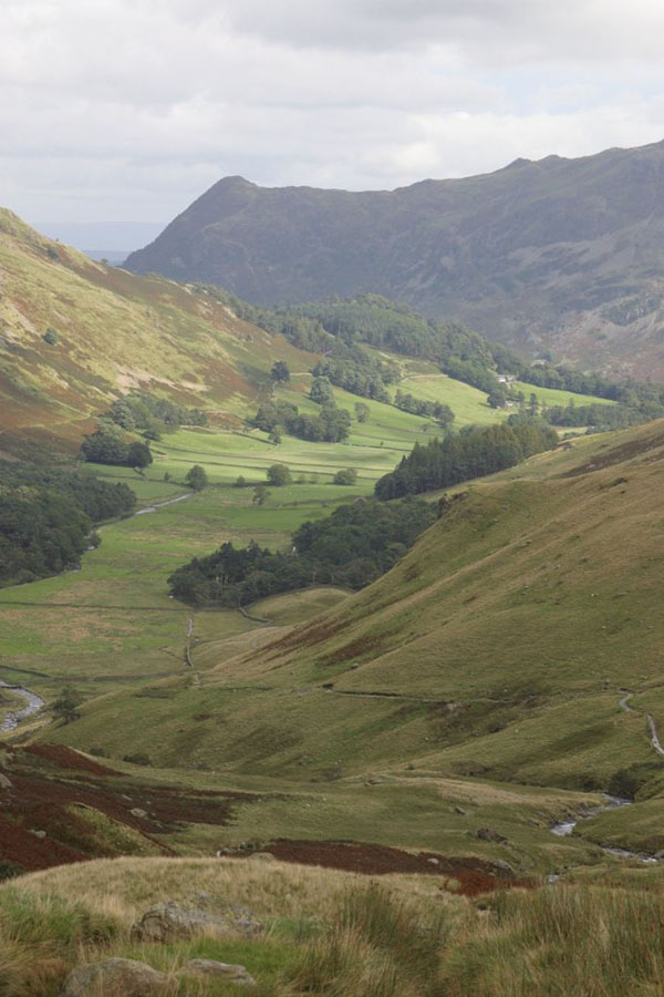
By now I'm up at about 500m, and that's Ullswater in the background.
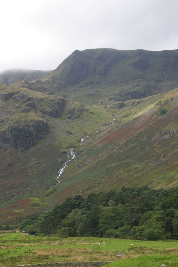
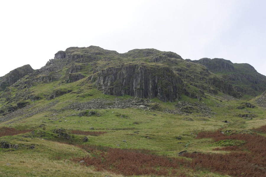
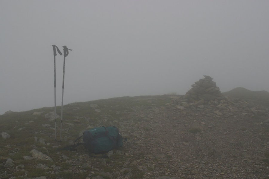
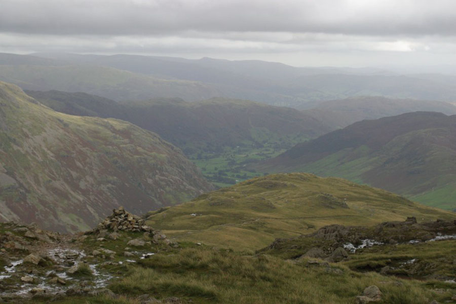
I couldn't get a good picture of Grisedale Tarn because the weather was closing in. It's just below the bottom of this picture, which actually shows the end of Seat Sandal. A few minutes after this I was enveloped in cloud, which lasted until I was back down below Grizedale Tarm again on the way down.
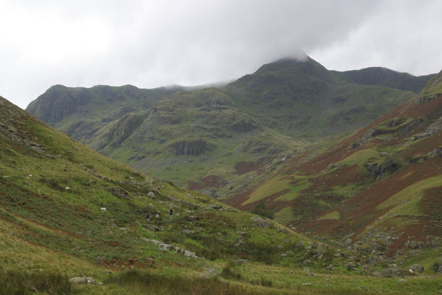
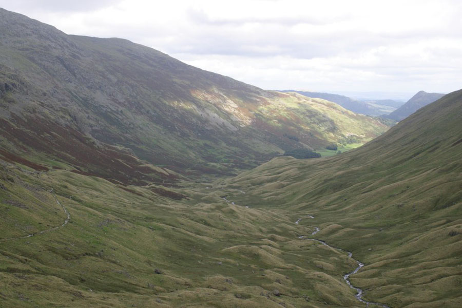
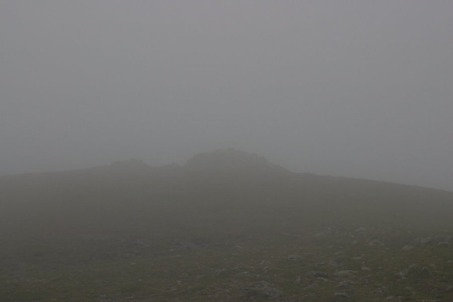
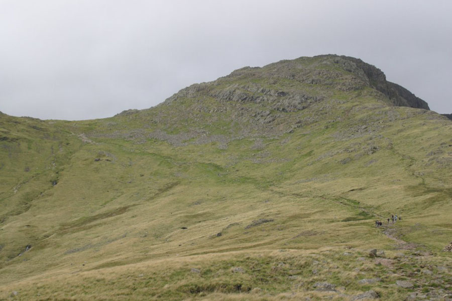
And how the top of Lakeland peaks look, most times when you climb them...
Thursday 11th
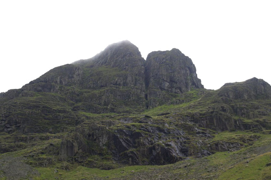
Thursday I climbed Bowfell from Mickleden. Anyone who has read Bill Bryson's Notes From a Small Island might remember he did this walk, using the same route I walked here. I should point out that, although I had read the book a couple of years before, the route he mentioned meant nothing to me so I didn't realise it was the route I had used (over The Bands) until a few months after these pictures were taken.First, some pictures from the valley floor. In order: Crinkle Crags, then a distant version of the same view with Bowfell on the right. The climb is visible in the second picture: up the ridge in the middle, across the saddle behind it (it's higher than it looks) and then up Bow Fell, which is the cloud covered peak on the right.
I started from the Hotel in the valley, so there's actually a fair walk to get to the bottom of the slope. The wlak gives you a chance to see where you are going, which is often not possiblein the Lakes as big peaks are frequently hidden behind smaller ones. But here is a closer view of Bowfell: it's the cloud covered bit just right of the middle. Then a picture of where most everyone else was going: Langdale Pikes.
First, a couple of views of Mickleden getting further away - always a good sight. Until you remember how far back it is...
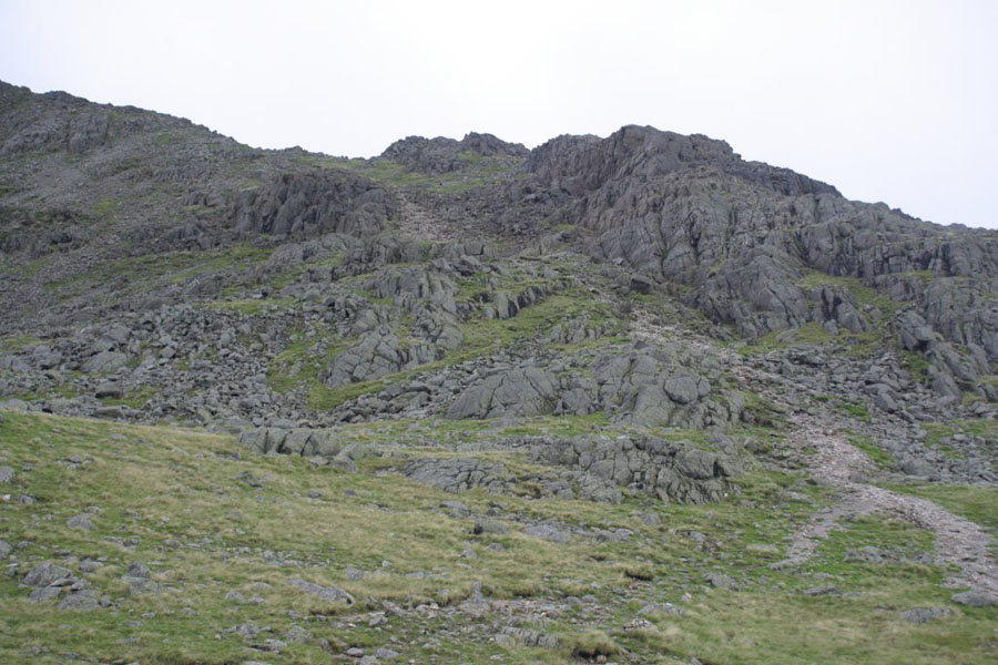
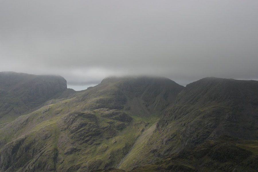
Bad news: the first scramble to the summit, viewed from Three Tarns. There's a couple of much smaller scrambles later.
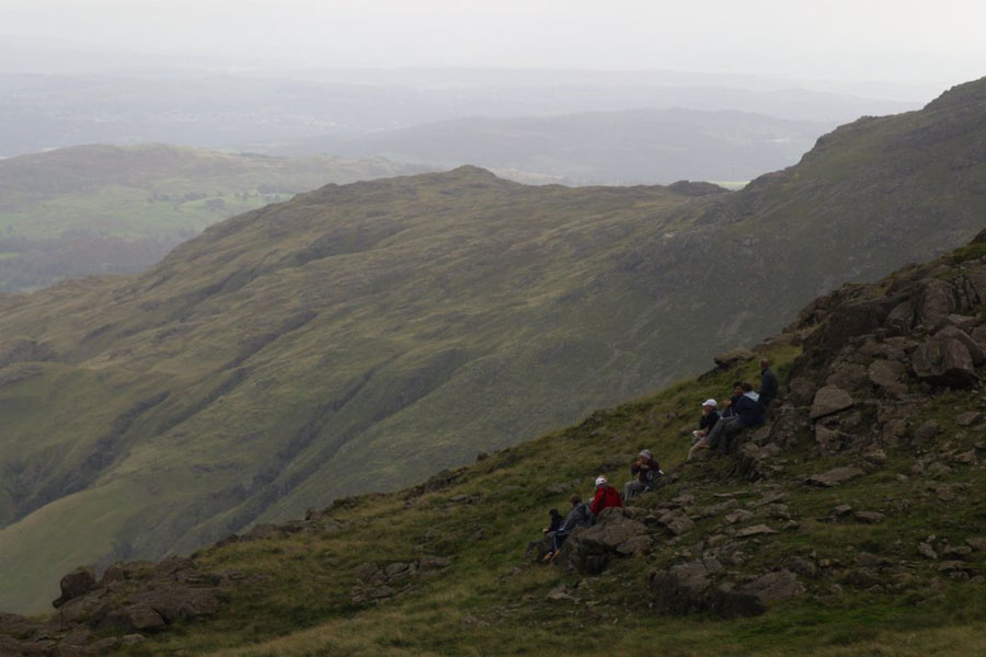
More views from Three Tarns: Great Knott, plus a party from Leeds University who I kept bumping into; and then Mickleden.
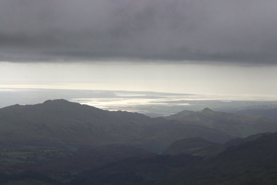
Finally, the views from top. This was one of those days where the effort seemed for worth it - you could actually see things! First is the Langdale Pikes, then (as far as I can tell) the view West as far as the Irish Sea.
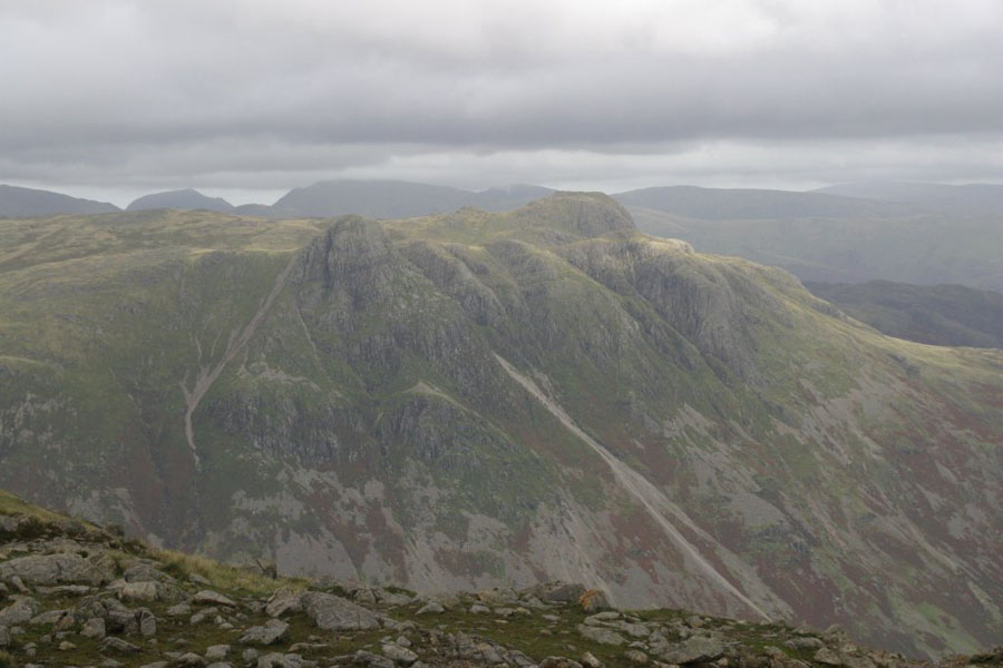
Left to Right: Scafell, Scafell Pike, Ill Crag.
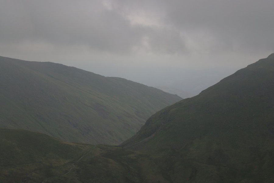
Some more views. The first is the way North, towards Angle Tarn. I have to admit to slight navigational error here: all the way up I had been near a party from a University (Staff, not students, which is why I was able to keep up with them), and when they set off I follwed them. After ten minutes I thought something was alittle odd so I checked my compass. Oops - they were going North, and I neded to go back South. After I spoke to them it turned out that they were one of two groups, each doing a long walk over Bowfell in opposite directions. The idea being that they would leave a vehicle at each end, and each would drive back in the other vihicle tot he one they started with. So I then had to trek back over the top again. Still, at least I hadn't gone too far before I realised. The other picture is back down the way I had come up.
I think that, of all the walks I've done in the lakes, this is probably the single best one for an energetic and fittish newcomer. It's mostly on marked - or at least easy to see - paths, you get a scrabble, but not a scary one, and the views are great if the weather favours you (yes, I'm aware of those odds).