| Lakes Home | Walking Home |
Lake District 14th to 17th September 2010
Quick links (all on this page)
Tuesday: Red Screes from Ambleside
Wednesday: not much (bad weather)
Thursday: St Sunday Crag and Grisedale Tarn from Patterdale
Friday: Old Man of Coniston from Wrynose Pass
Long-term readers of these pages will notice that I'm now extending my trips a bit - three and half days rather than two and a half. In the event it made no difference, as I will explain later.
Tuesday 14th
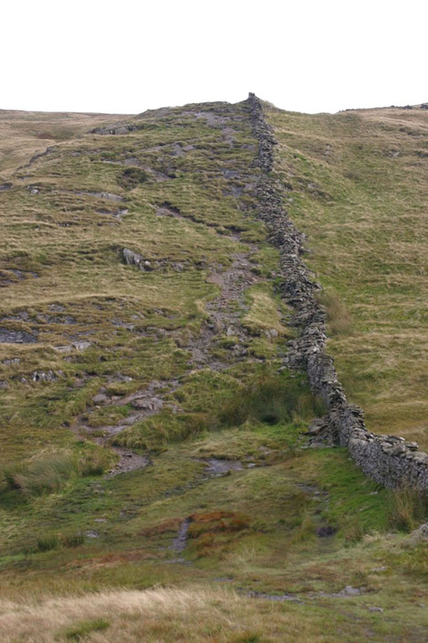
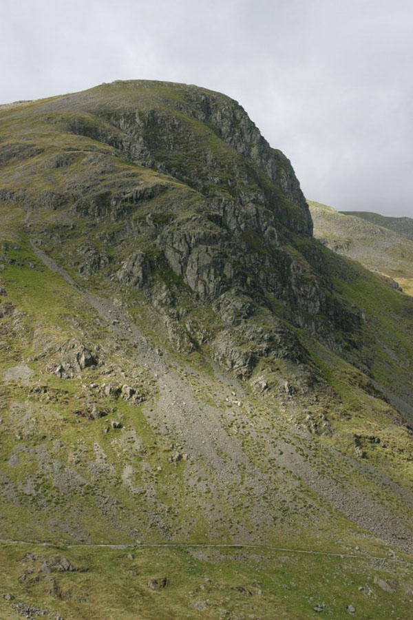
For my first day's walking I had picked Red Screes. If I remember correctly, there are at least two "Red Screes" in the Lakes, so the one being refered to is the peak just north of Ambleside, and looming over the Kirkstone Pass on the west side, opposite the Kirkstone Pass Inn. At 776 metres it's not a massive climb, but I only set out at 13:00, after a four hour drive. The route is to walk up The Struggle to about the 220 metre line, then cut west and then just walk up the ridge . This is the view from not long after you leave the road. Red Screes itself is hidden behind the peak top right. False summits are a Lakeland speciality...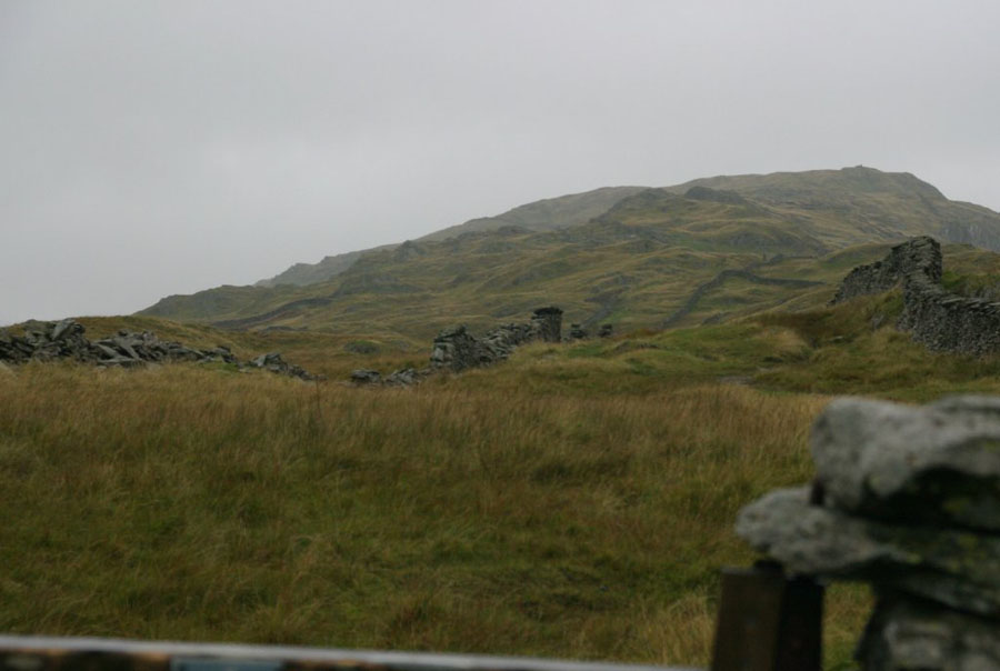
Once you get a bit higher, you can get a fair view back towards Ambleside:
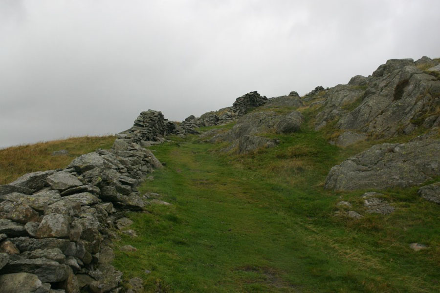
As is usually the case, yes it really is that misty. It rained on an off the whole day, at times heavily. This is the path I was walking up:
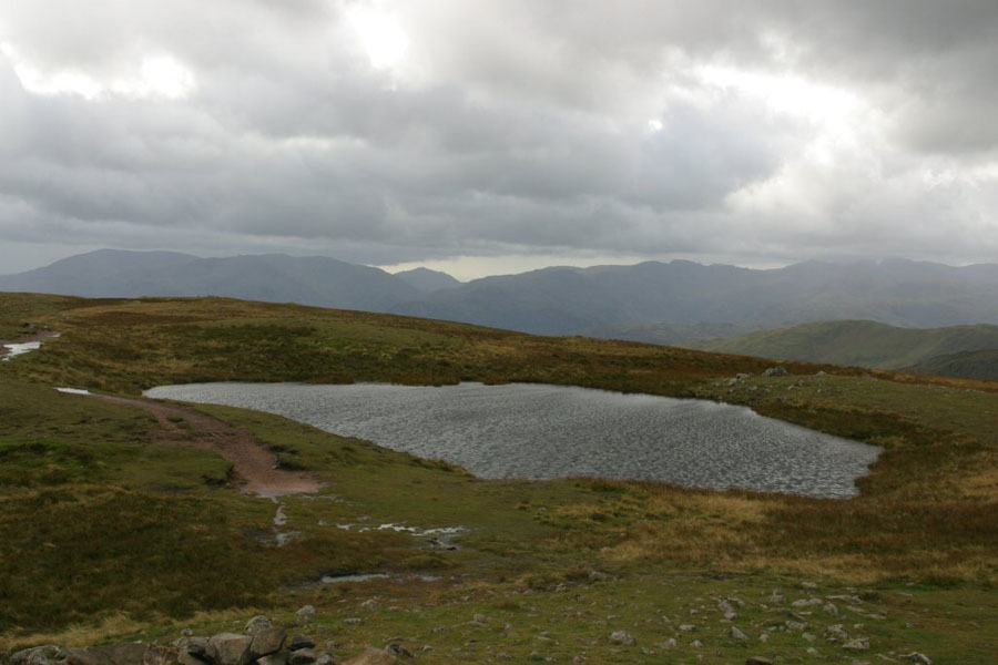
It's not the most interesting walk in the world, so there are no more photos worth showing of the way up, but there are some good views from the top. In order: north towards Brothers Water, west towards High Pike, and then zoomed view north. Finally, a shot of the little pool at the top.
I came down a different route, heading north-west to descend to the top of Scandale Pass, then south-west down the pass back to Ambleside. Not for the first time I noticed the difference between what is on an OS map and where the path actually is. The next shots are view back up the path I descended, the view acrss to the other side, and lastly the view down Scandale Pass to the south-west.
Wednesday 15th
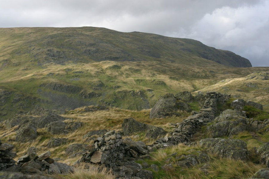
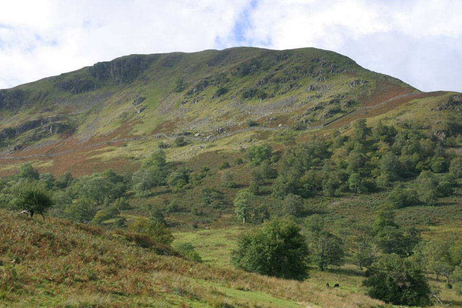
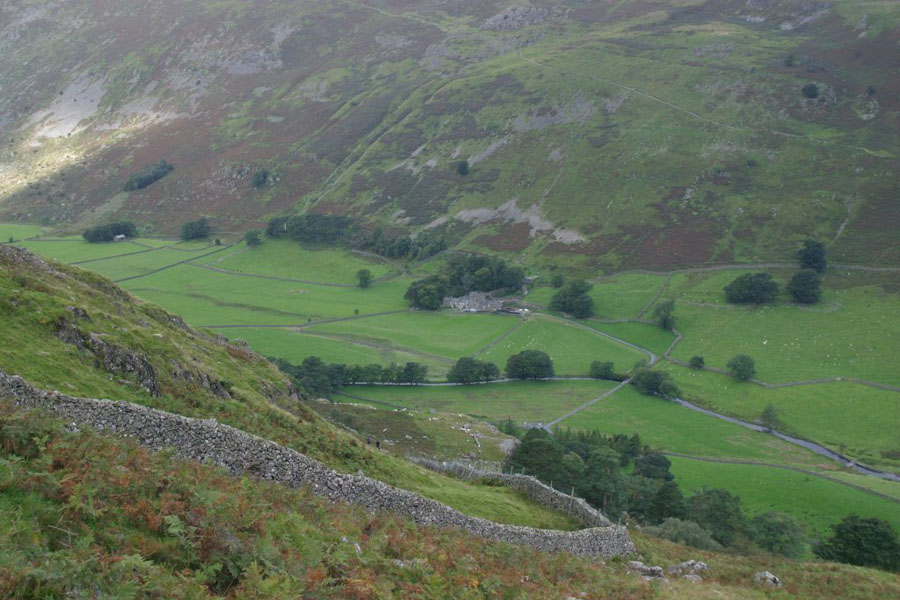
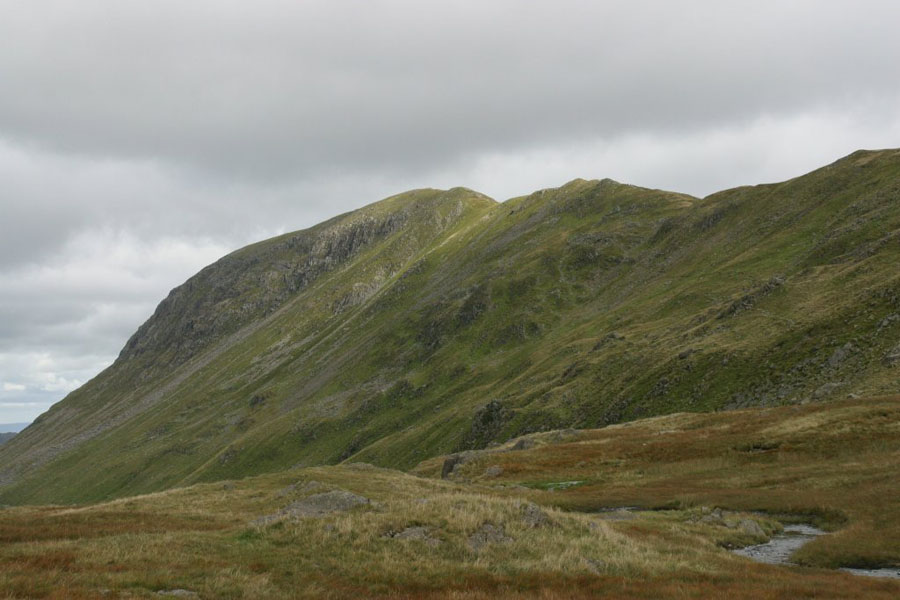
My original plan (the walk eventually done on the 17th) had to be abandoned because the weather was very windy: gusts of 70mph up on the hill tops. I drove out to Wrynose Pass to check the weather there, but the Pass was closed. I decided that the weather was too bad for going up in the hills, and by now it was after 10am so this counted as a late start, which I don't like as it cuts down the walking time. Instead I decided to go sightseeing instead, starting with Furness Abbey. It was closed for the day. I had some fun on the little B (and less) roads, then went back to Ambleside. I then just did a simple low-level walk from the town up to the Kirkstone Pass Inn along the path to the east of Stock Gill along the valley bottom. The only picture I took of any interest was this one of Red Screes and the ridge up to it, from below (near High Grove):
Thursday 16th
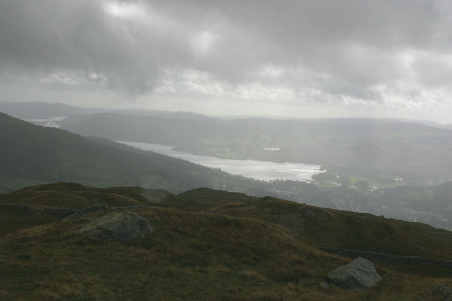
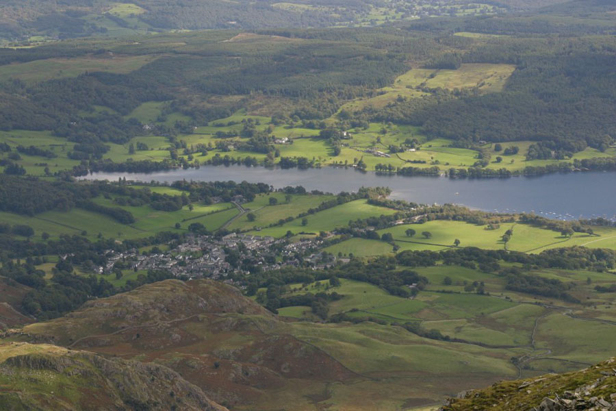
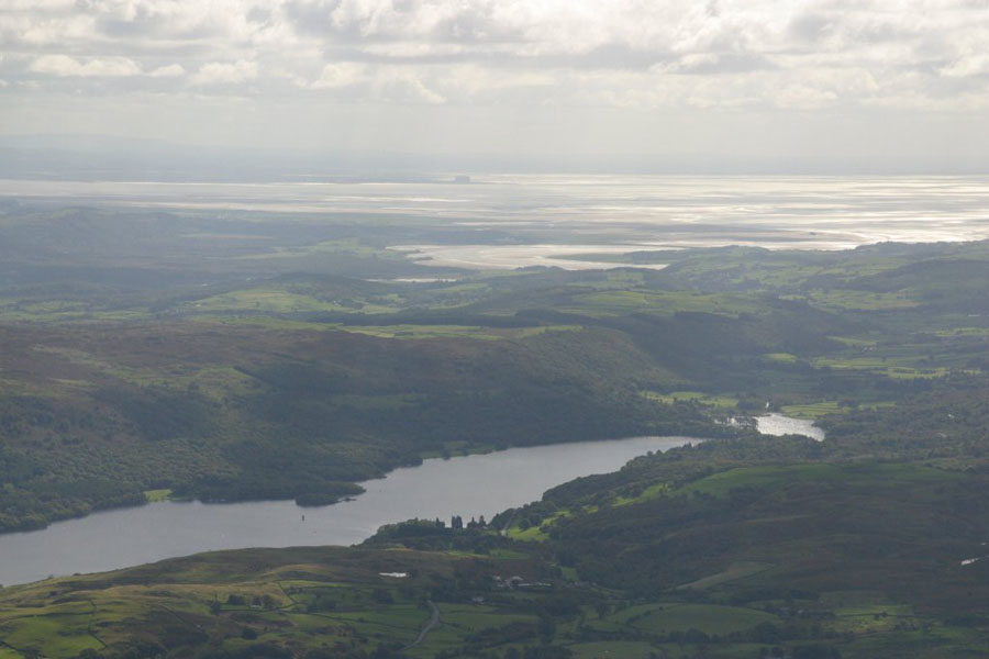
It was still pretty windy, but the gusts seemed to have died down to the point of not being outright dangerous. This time the walk was from Patterdale to the top of St Sunday Crag (841 metres), then down the far end and descend to Grisedale Tarn, before following the valley back down. Time for one last look at Ullswater from low level (just above the hotel):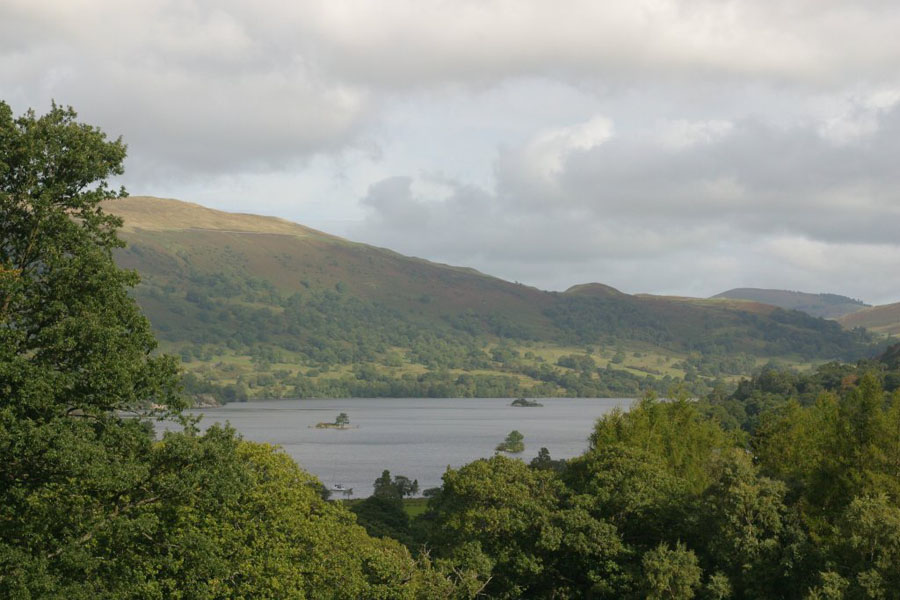
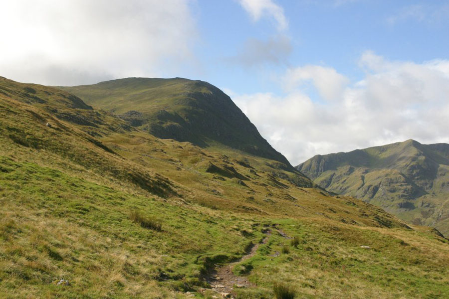
This is the first part of the walk: across that valley, then up the ridge that you can see on the far side. The trail continues up behind it
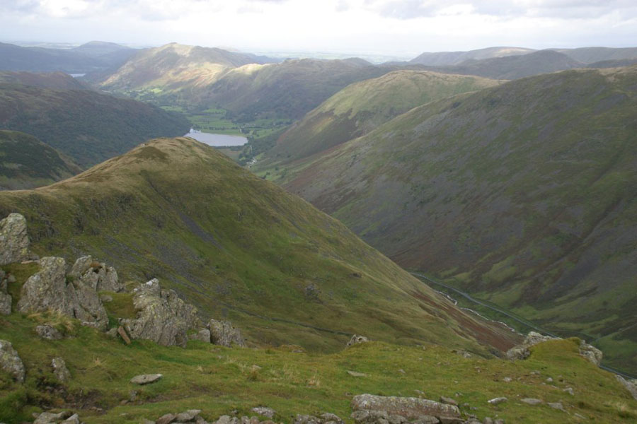
Across the Grisedale Valley you can see the path that runs up to Hole-in-the-Wall and from there up to Striding Edge. The two pictures are taken from slightly different places. HitW is where the path meets the ridge top. Striding edge itself is invisible, hidden behind High Spying How (the peak just left of the middle).
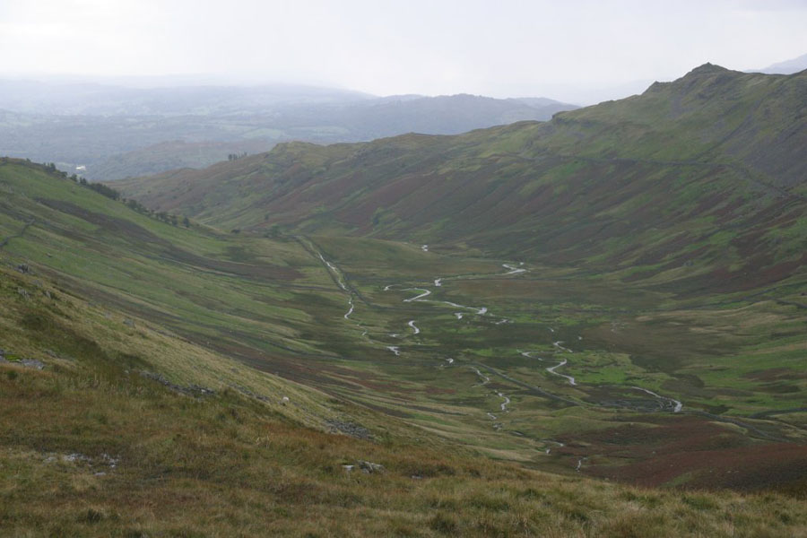
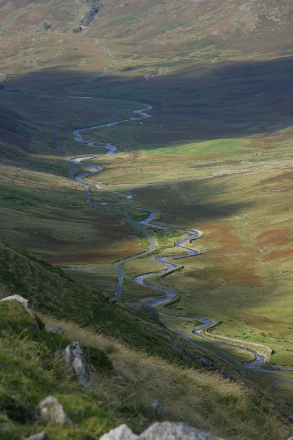
The view down into Grisedale looks like this:
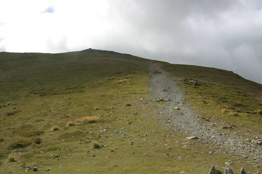
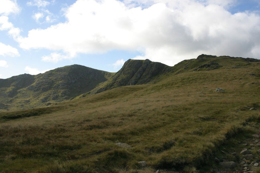
The walk is a typical Lakes one: a long climb up a ridge, with lots of those false summits. The next pictures show the view up from near The Birks, and then the last run to the top.
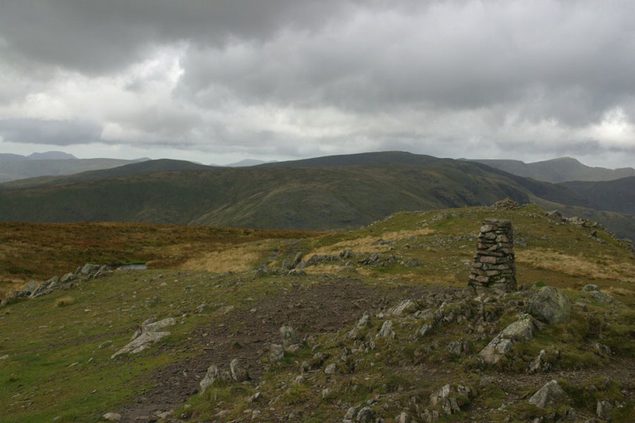
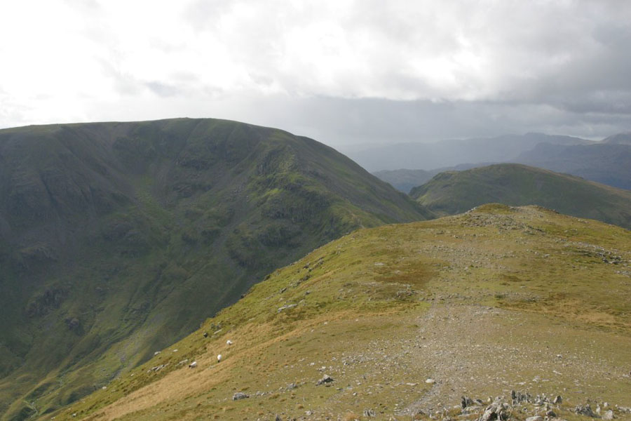
Then, at last, the top. The wind was still very strong, gusting around force 7-8, and I notice that no-one was silly enough to be trying Striding Edge (visible the other side of Grisedale now). It was blowing from the north, so you only really got the full force at the very top. It reinforced the wiseness of my decision not to try a high-level walk the previous day: the wind had dropped since then but it wasstill hard to stay upright at the very top. The views were good though. Successively: the NE, the way I came up; the SW, towards Fairfield, along the same ridge; and the summit of Helvelyn.
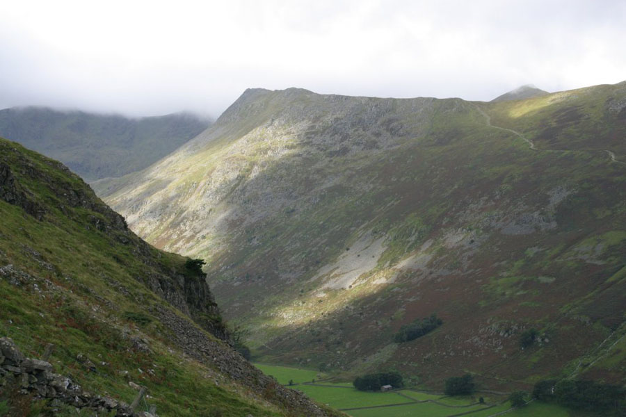
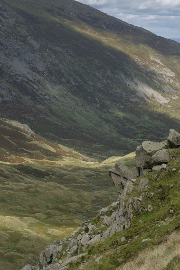
The second picture shows the first part of the way down: continue along the ridge, and look for a path running fairly steeply down towards Grisedale Tarn. From that path there is a good view towards the Tarn, probably my favourite piece of Lakeland water.
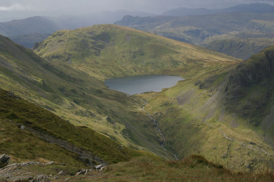
Then, from a bit closer:
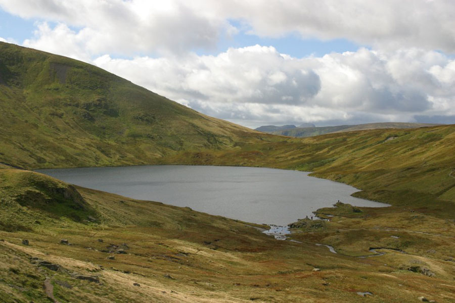
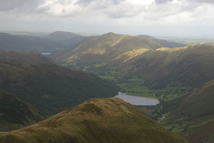
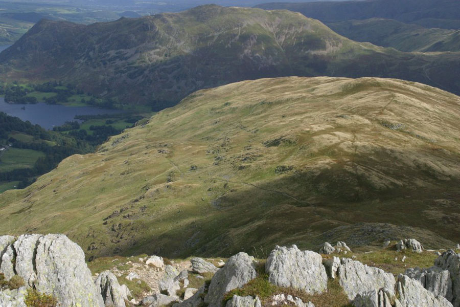
From around the same point you get a great view across the valley towards Falcon Crag, and back towards Patterdale:
And lastly, St Sunday Crag from near Grisedale Tarn:
Friday 17th
The Old man of Coniston from the Three Shires Stone at the top of Wrynose Pass. I had spotted this walk whilst actually looking for something else, and it seemed like a good one. The pass was open again after Wednesday. I don't know if the pass was really closed on that day or not, or whether some idiot had changed the sign at the start of the pass, but certainly it was open now. This was another ridge walk, but a longer one: up Swirl How via Hell Gill Pike and Little and Great Carrs, then south over Levers Hawse and Black Crag (one of about six things called "Black Crag" in the Lakes as far as I can tell) to the Old Man. The good news is that you start at almost 400 metres; the bad news is that you are walking over four peaks over 700 metres high (and Black Crag is only just shy of 800) and then the Old Man at just over 800 metres. With fair drops between several of them. But the ground is pretty solid for most of it, and there are good views. First, down towards Three Shires Stone (where the group of cars are parked) and then down Wrynose Bottom, and thirdly up towards Great Carr: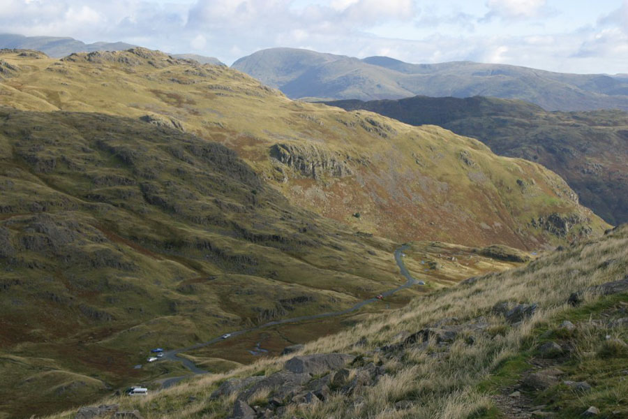
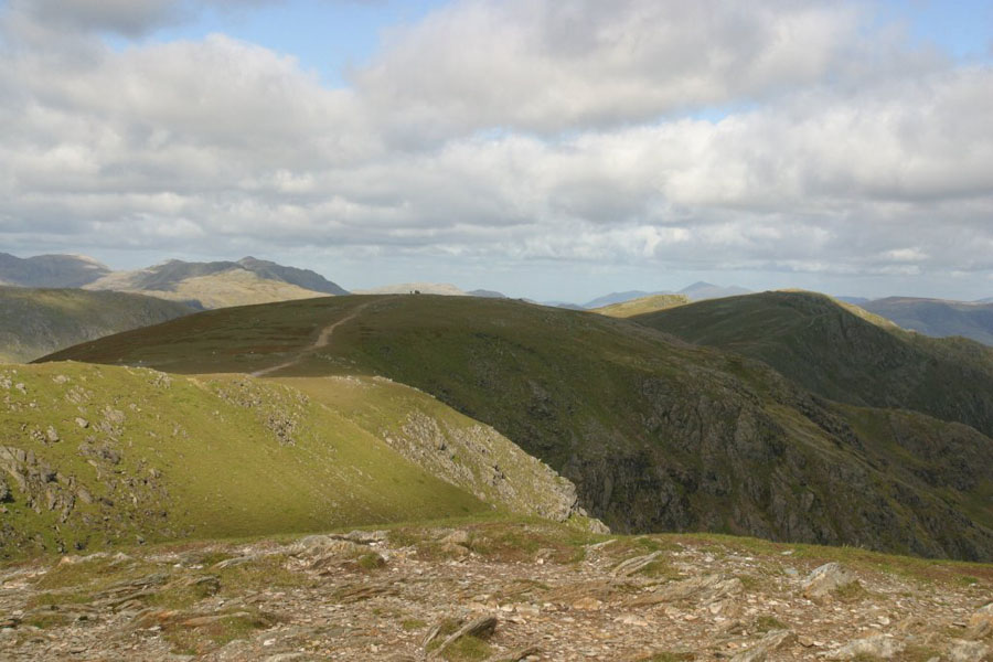
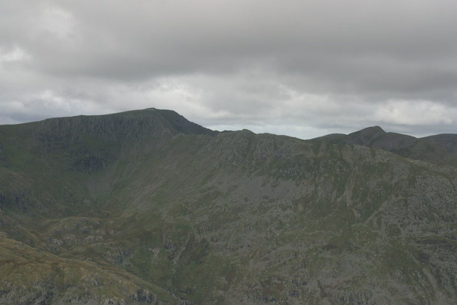
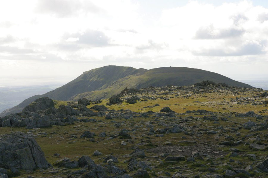
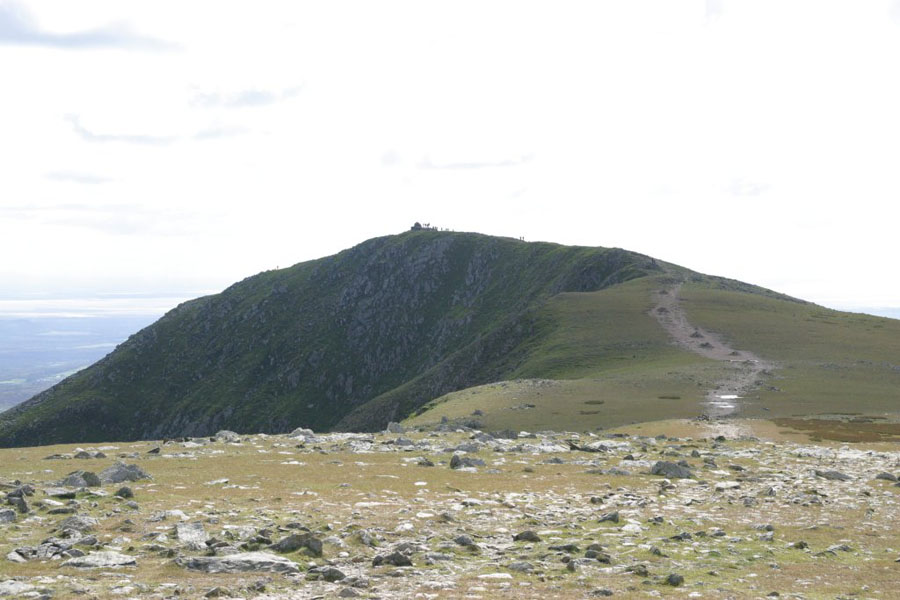
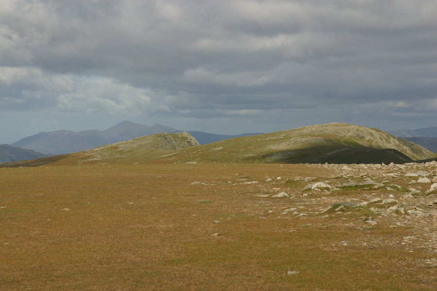
Swirl How acts as a useful navigation point, as you follow the ridge around until you reach the summit, then strike off south towards the Old Man. The ridge is pretty wide and flat, with a steep drop to the east, but more gentle to the west. Some views from there: towards Black Crag (right) and the Old Man (left) along the ridge, then that ridge plus the one the other side of Goat's water to Dow Crag, taken from further along the path:
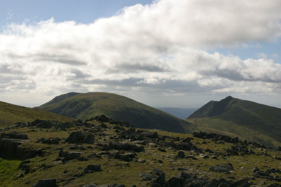
Next, views from the top of Black Crag, towards the Old Man, then towards the north-west, and back along the ridge towards Swirl How:
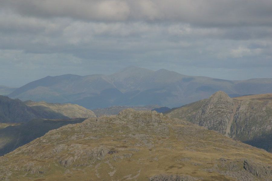
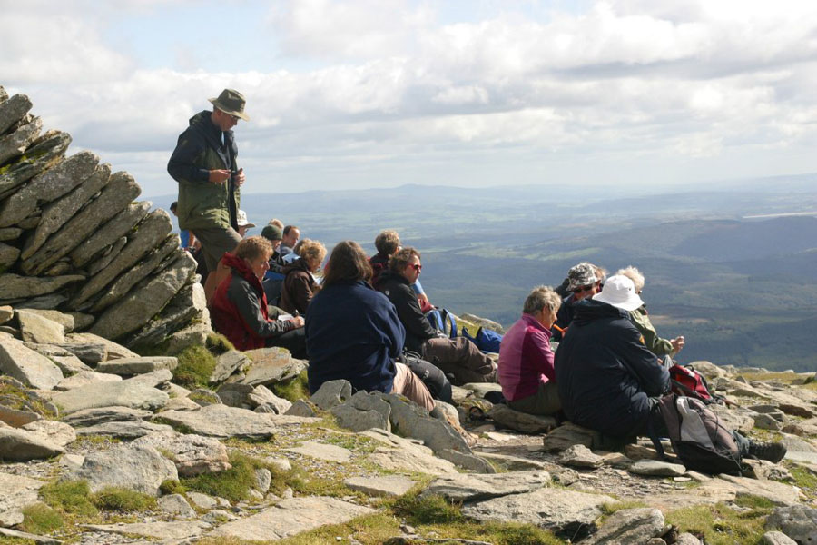
Despite the sunshine, the views were a little hazy, but still good enough to see the Isle of Man (not shown), Coniston, and a little closer, Barrow. I think the big building showing in the middle background is DDH, but I don't know for certain.
As it was such a nice day, a fair crowd had gathered.
And then it was back down again...