| Lakes Home | Walking Home |
Lake District 9th to 12th May 2011
Quick links (Monday and Tuesday this page, Wednesday and Thursday another page)
Monday: Wansfell from Ambleside
Tuesday: Helvellyn Lower Man to High Crag ridge walk
Wednesday: Esk Pike from Seathwaite
Thursday: Crinkle Crags from Wrynose Pass
Monday 9th
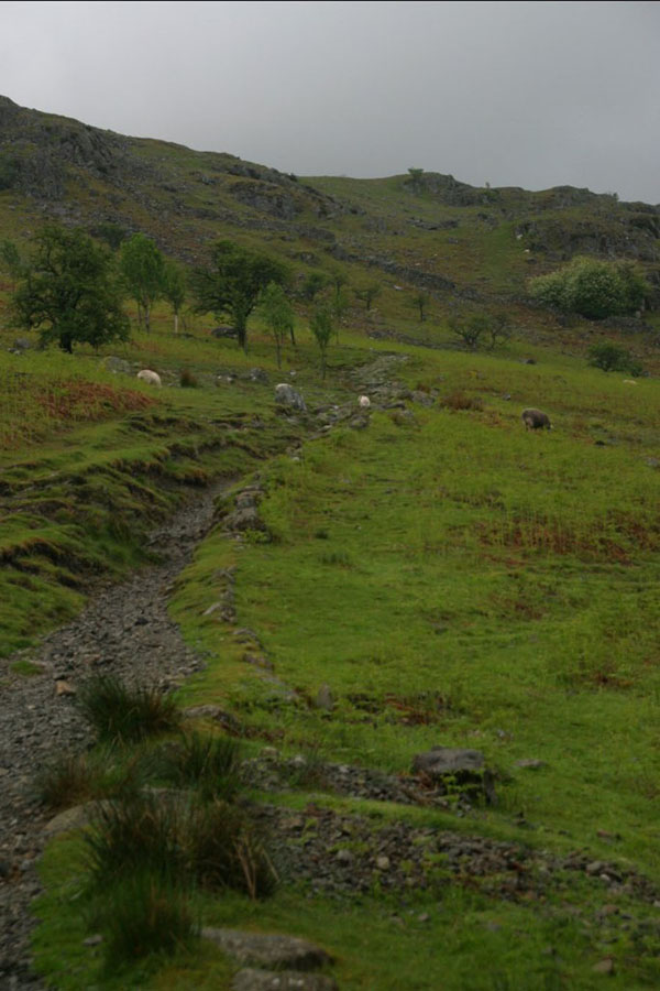
As usual, I arrived around lunchtime so there was only time for half a day of walking. In this case the plan was to climb Wansfell from Ambleside, then walk north along the ridge and then down Idle Hill until near the Kirkstone Pass road, then west and then back down the low-level path. Weather was changeable: as I started up the side of Wansfell a massive thunderstorm came up from over Windemere and covered most of Ambleside before rolling up towards Rydal. I caught the edges of it, but not the really heavy rain. It did make a mess of the light, so not many photos of the first part of the day. As you can see, Wansfell is popular as a walk because it's so close to the town (it sort of hangs over it), so traffic was heavy: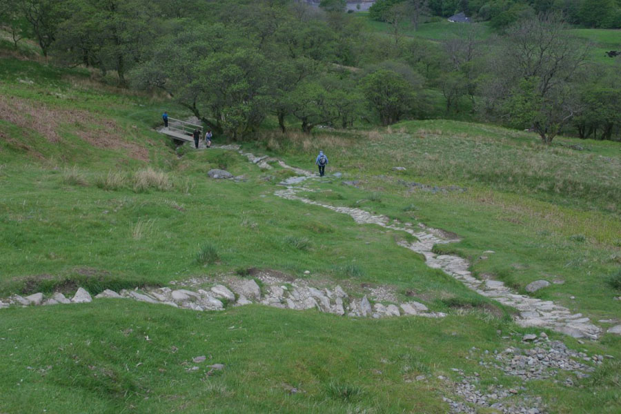
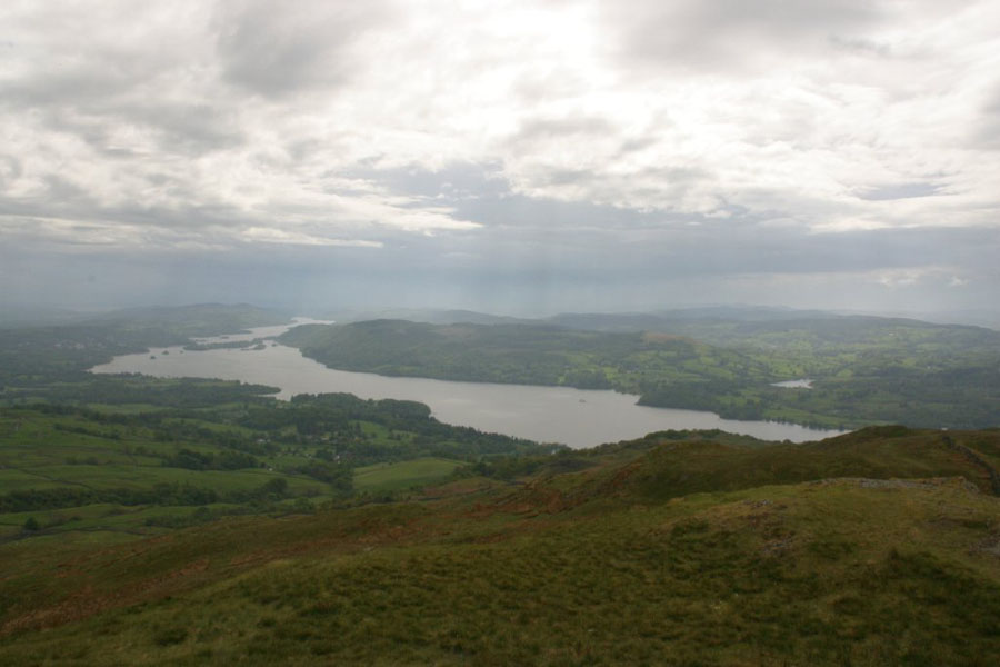
These are the views from the top, first towards Windemere, then north towards Baystones. Wansfell is only 482 metres, so don't expect distant vistas.
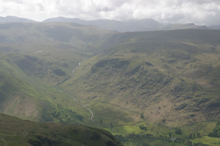
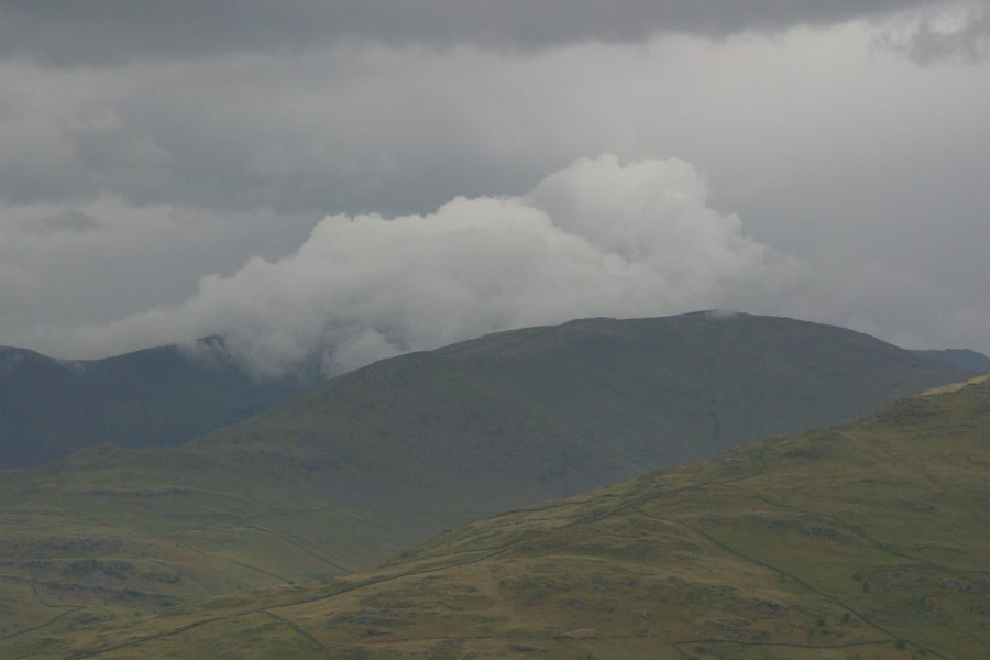
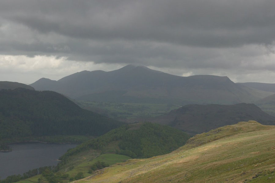
By now the storm has drifted up the valley towards Rydal, as the next picture shows. The ridge running up from the bottom left is Low Pike, towards High Pike, and the big hill behind them is (I think) Great Rigg. You can see the state of the weather from the clouds.
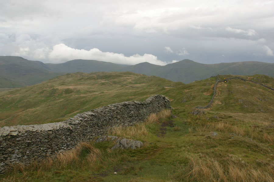
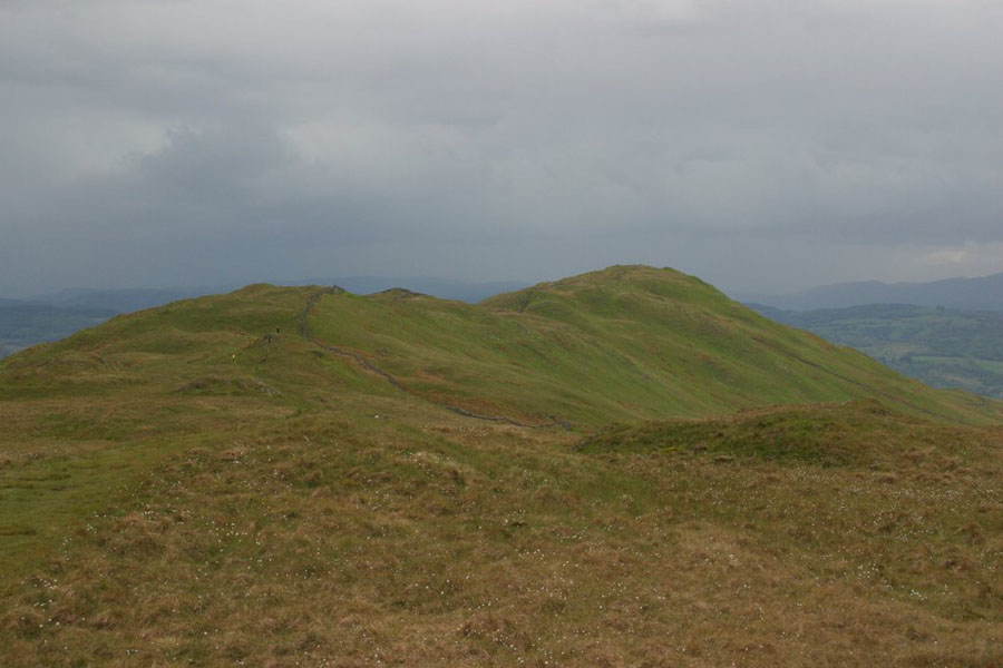
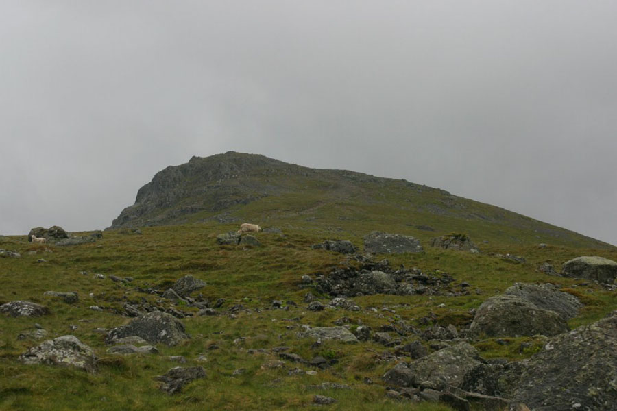
Having got to Baystones further north along the ridge, a more detailed examination of the map and landscape suggested that there was a lot of dry stone walls between me and the low path, so I returned the way I had come. But some last pictures from there: first the view back to Wansfell, then Red Screes looking over the Kirkstone Pass Inn.
Tuesday 10th
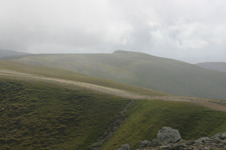
Today was planned as a ridge walk, to take in two major peaks I needed to cross off my list: Helvellyn Lower Man and Nethermost Pike. If I felt like it, I'd carry on until I got to Dollywagon Pike, to complete the southern part of the Helvellyn ridge. The route up would be the "easy" path starting at the Thirlmere car park and heading south-east over Browncove Crags to Helvellyn Lower Man summit. I wanted to start at 10:00, and got to the car park at five to. To discover that some ****-wit on the local council had turned what is essentially a large layby into Pay-and-Display parking, at £7 for a day. It's less money for less time, but I didn't know how long I would be so I had to go for the full whack. Or at least I would after driving back to Grassmere to try to get some pound coins. I should point out that, for all that money you get: a marked bay, a ticket, and a wheelie bin for rubbish. No security of any kind was visible, and if there is a council patrol to deter thieves then I didn't see it. All that meant that I didn't start until 11:00 - but at least it meant that the torrential downpour had finished. This is not a good start to the day: look how low the clouds are in the first picture - about 400 metres. The second is the first part of the path.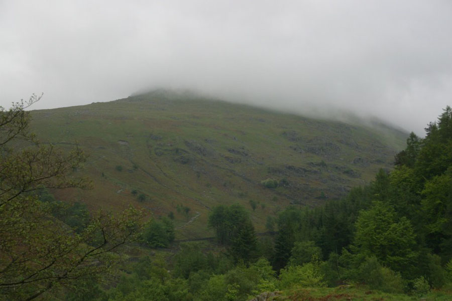
The next couple of pictures are the views from just below Browncove Crags. First, looking up at the crags themselves, then North to Skiddaw, to show much the cloud his lifted, and then back down the path towards Thirlmere.
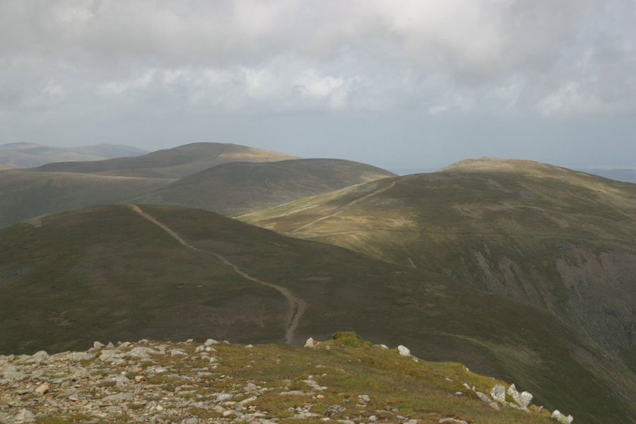
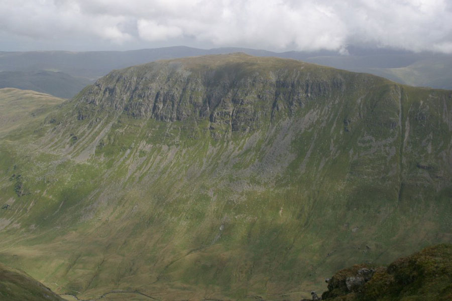
The climb to the top of Helvellyn Lower Man was pretty easy after that (I'm sure the serious hill walkers will tell me it was easy before that...), and by then the weather was clearing up. There was plenty of sun around, and it was all very nice if you didn't mind the twenty-five know, gusting forty knot, wind. No, that's not a exaggeration: I sailed for many years. Some views from there next, in order: Helvellyn summit, Swirral Edge, Catstye Cam (different to the classic view from Helvellyn itself) and down Brown Cove showing the disused dam. Finally, the view north along the Helvellyn ridge from just below the summit of Helvellyn itself. The path drops down the side of Lower Man, then you can follow it into the distance. In order the peaks are: Whiteside, Raise, Stybarrow Dodd, Watson's Dodd (barely visible at the left) and Great Dodd. I've done Whiteside and Raise, and sometime need to do Styebarrow Northwards.
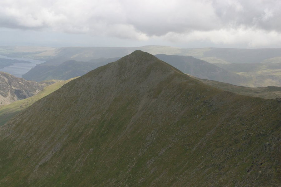
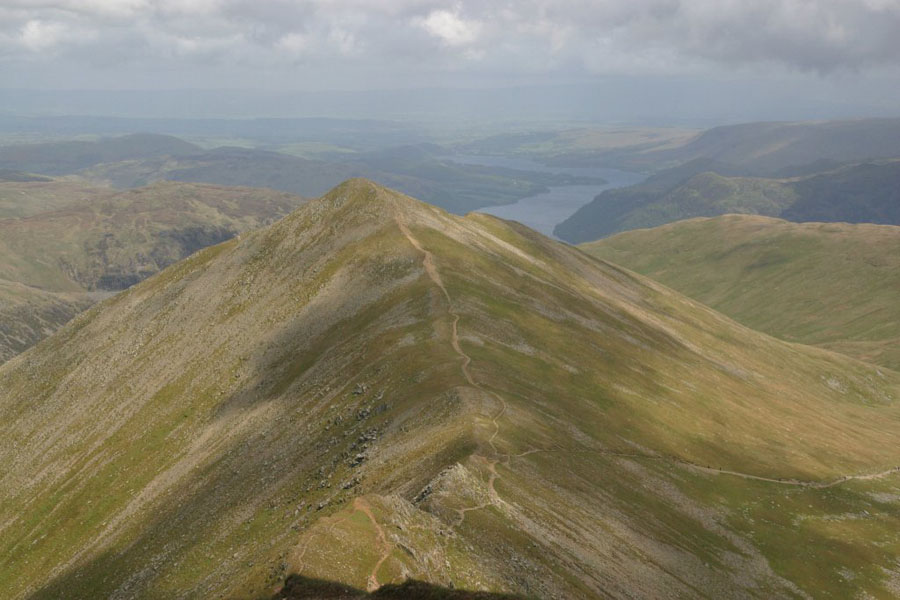
And then on to the main peak of Hellvelyn. This was the third time I'd been up, and the second time I'd climbed from the north-west: the very first Lakes walk I ever did was that one, back in about 2001. A few classics views, starting with my favourite picture of the trip: Striding Edge, with St Sunday Crag behind it.
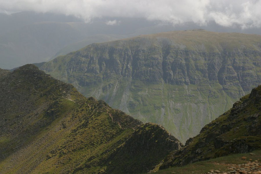
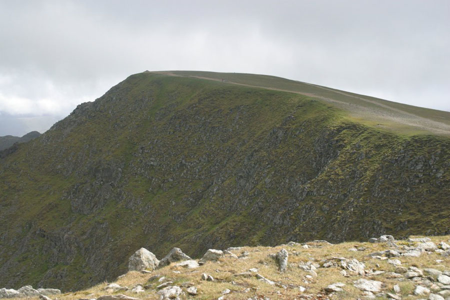
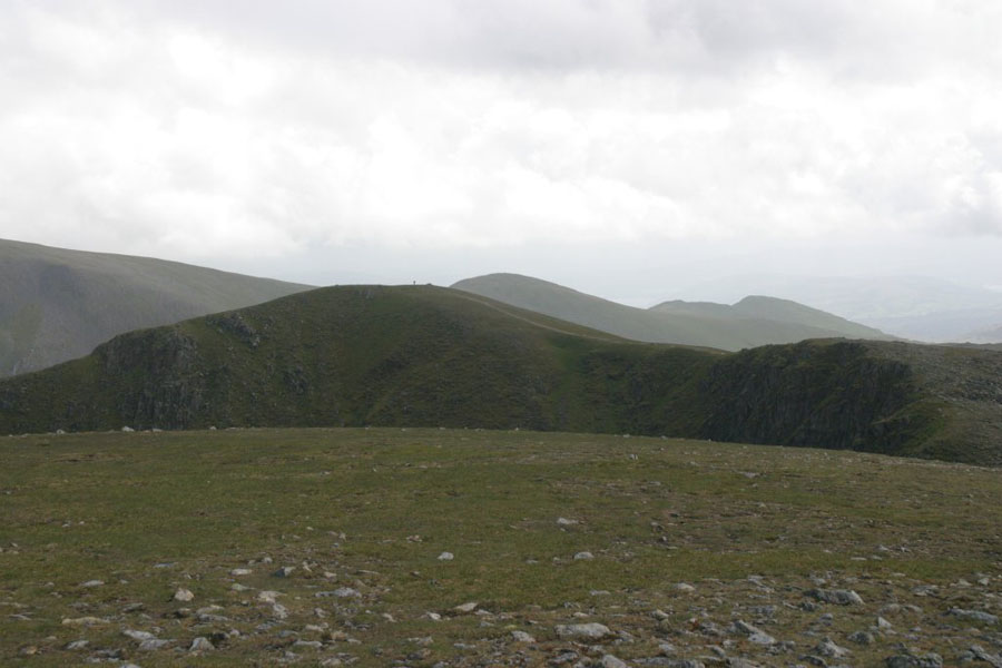
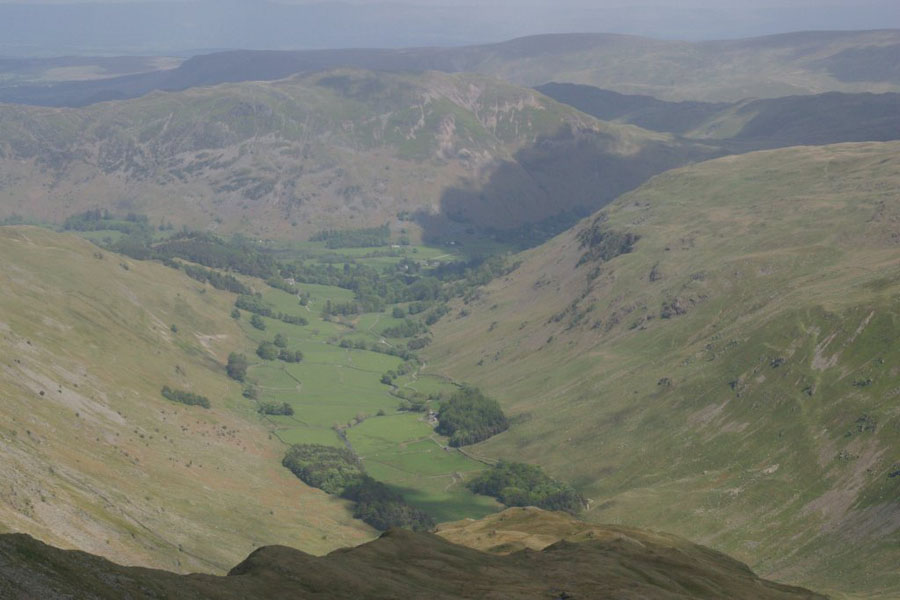
Then pictures of Lower Man summit (not very impressive!), the more classic view of Catstye Cam, and then the path south. The peak in the bacground is my final point, High Crag. The bit jutting out to the left just before it is the peak I am after, Nethermost Pike. I'm told it's a lot more impressive from Grisedale valley...
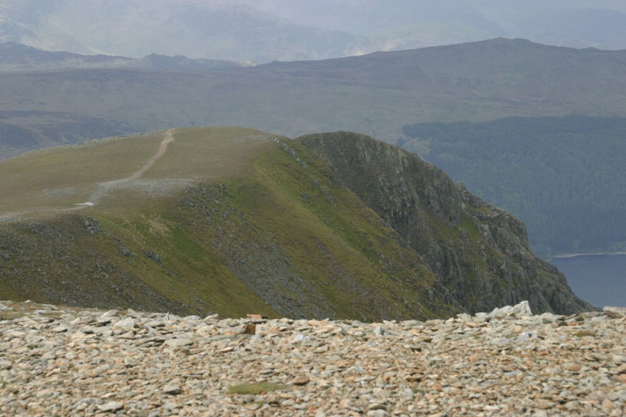
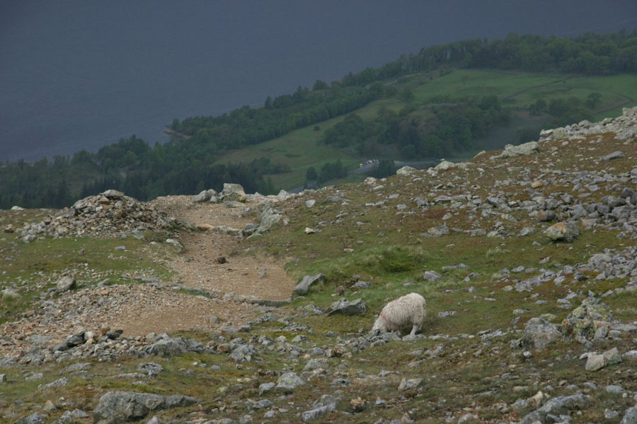
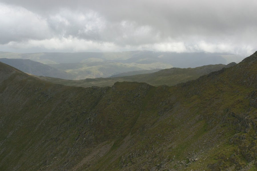
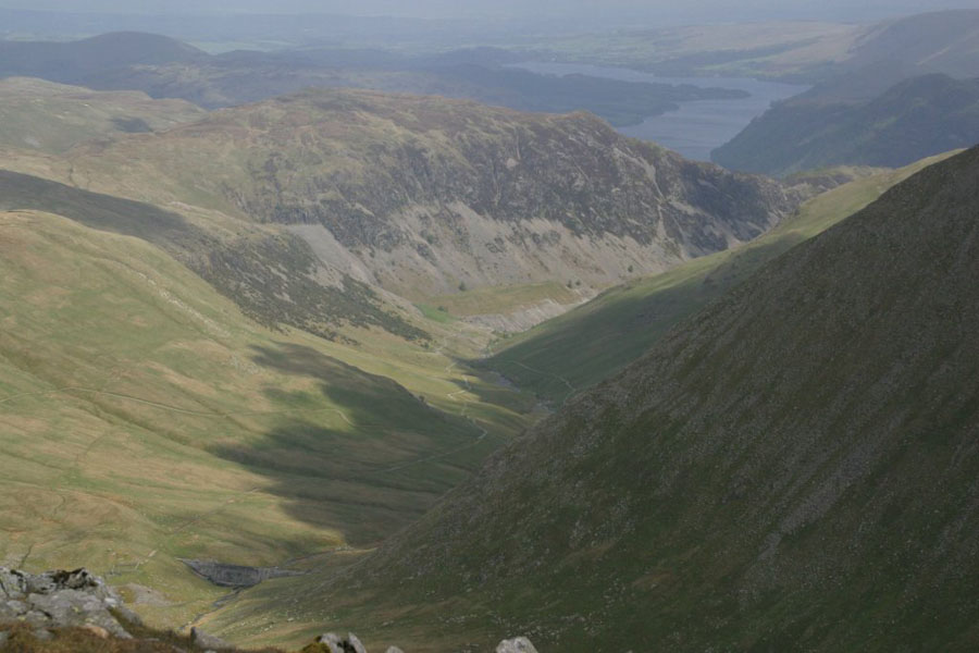
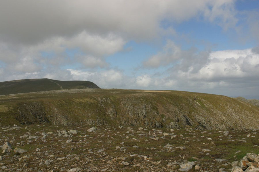
In the event I decided against going as far as Dollywagon Pike: I've climbed it before (from Grisedale) and there's a fair drop then climb to get there from High Crag. So it was just time to get some more pictures: Dollywagon Pike (which i could actually see this time, unlike the last time I climbed it), back towards Helvellyn, then St Sunday Crag again and view down Grisedale.
Then it was time to descend, this time via the Birk Side path: