
| Lakes Home | Walking Home |
Lake District 9th to 12th May 2011 (continued)
Quick links (Monday and Tuesday last page, Wednesday and Thursday this page)
Monday: Wansfell from Ambleside
Tuesday: Helvellyn Lower Man to High Crag ridge walk
Wednesday: Esk Pike from Seathwaite
Thursday: Crinkle Crags from Wrynose Pass
Wednesday 11th
Today's walk is Esk Pike from Seathtwaite Farm. A fairly straightforward route up the Grains Gill path, then via Esk Hause to the top of Esk Pike. Esk Pike tends to get overlooked because most people in this area are going up Scafell Pike, just to the west, but it's on my list, and I've already done Scafell Pike. I had a half-formed plan to come back via Glaramara, but decided not to bother in the end. So If It's Wednesday, It Must Be Grains Gill: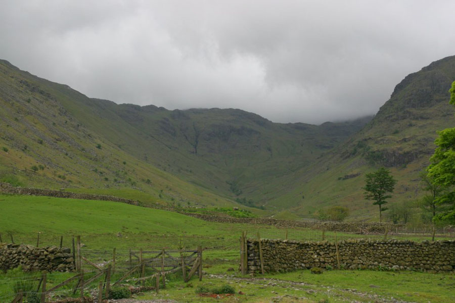
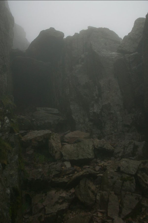
As you can see, it's typical lakeland weather, with solid cloud cover at about 600 metres. That slowly lifted as I climbed, and then broke up a bit, although a few localised storms crossed the area. But the next picture shows that apparantly you can just walk in Mordor...
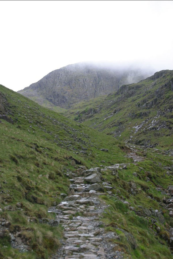
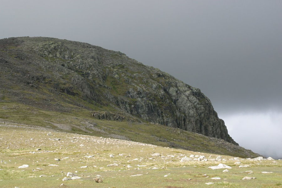
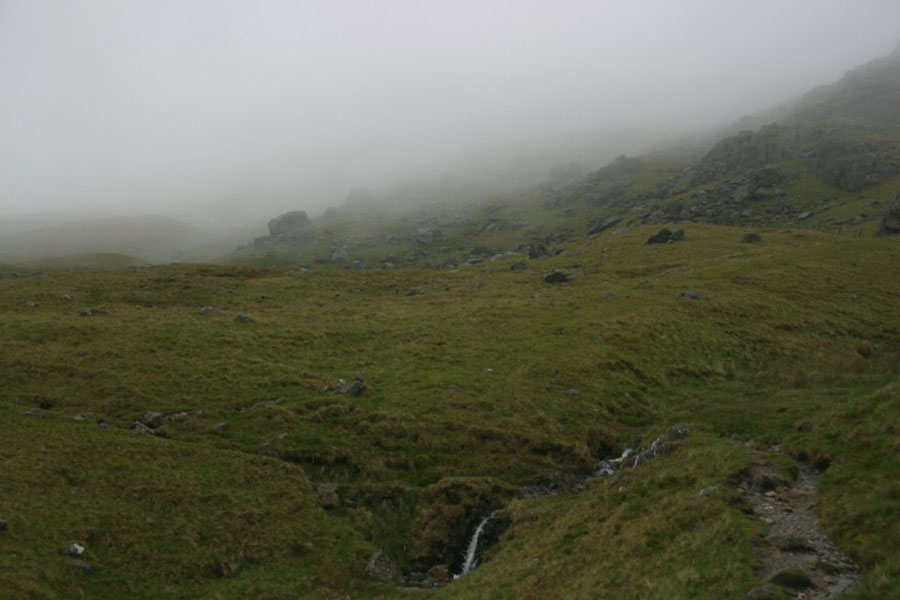
Yes, I know it's an old joke, but every time I find myself on a rocky path like that, in or near the mist, with no-one else in sight, I keep thinking that. Actually of course, it's the cliff face of Great End looming over the upper end of the path. The path turns left below that face, and then moved up the slope towards Esk Hause:
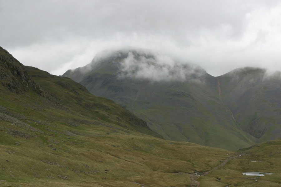
From below Esk Hause you can look north-west across the valley to Great Gable, now slowly emerging (or mostly emerging) from the clouds.
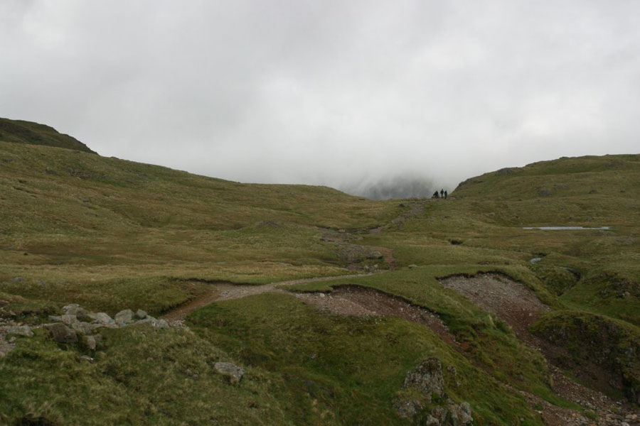
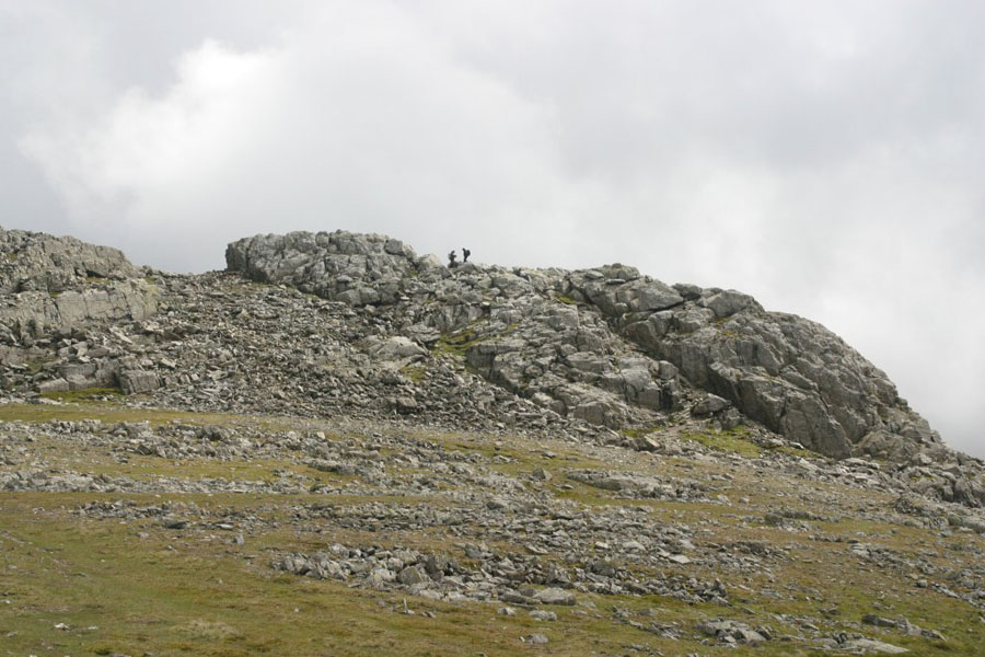
Once on Esk Hause, Esk Pike is an impressive sight:
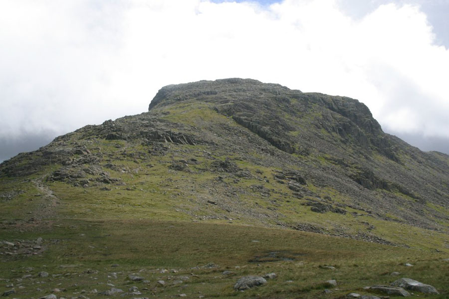
It's not easy to get a sense of scale there, so I'll point out that the picture was taken at about 720 metres altitude, so the top of that is another 160 metres up. It's not particularly hard, as the rock chunks are mostly pretty stable.
Now, remember what I was saying about thunderstorms drifting over? Well, this is Ill Crag taking a hit. The peak to the left, behind, and covered in cloud, is Scafell Pike.
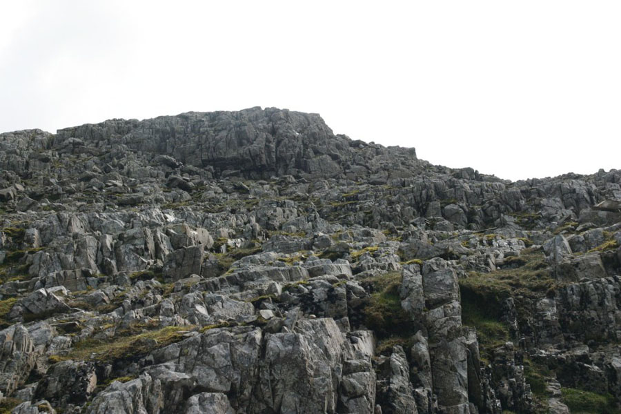
Finally the top is in sight. There's two peaks, with a slight gap between them. This is the one on the right, which I went up first, before crossing to the other one. The one on the left (the top cairn is just visible) is supposed to be slightly higher.
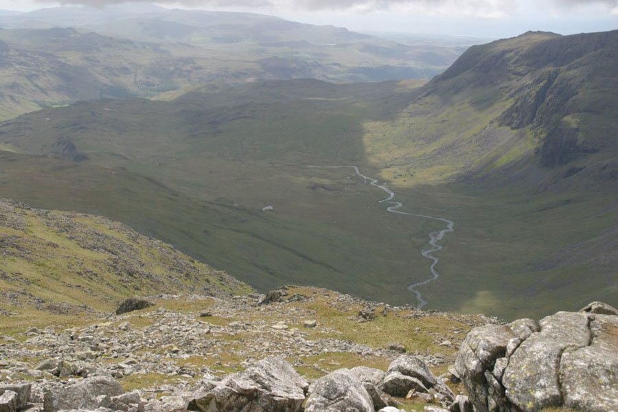
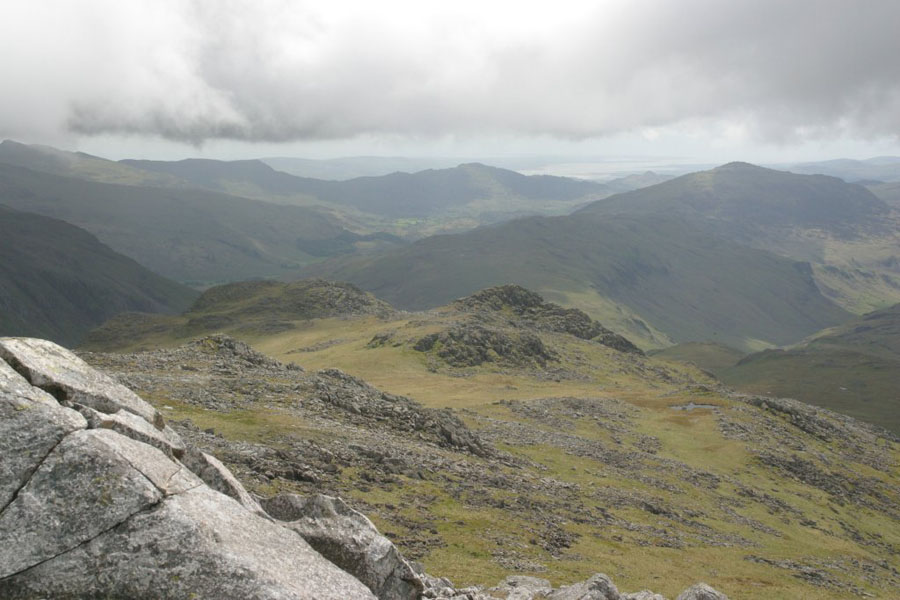
With Esk Pike being relatively isolated from the peaks around, there are some great views. The first is down the River Esk, towards Great Moss; then the view south, with the Irish Sea in the background. I was halfway down before I realised that the peak next door to the south-west was Bowfell, so no picture of that. As you can see from the second picture, the clouds are not far above the tops of the peaks.
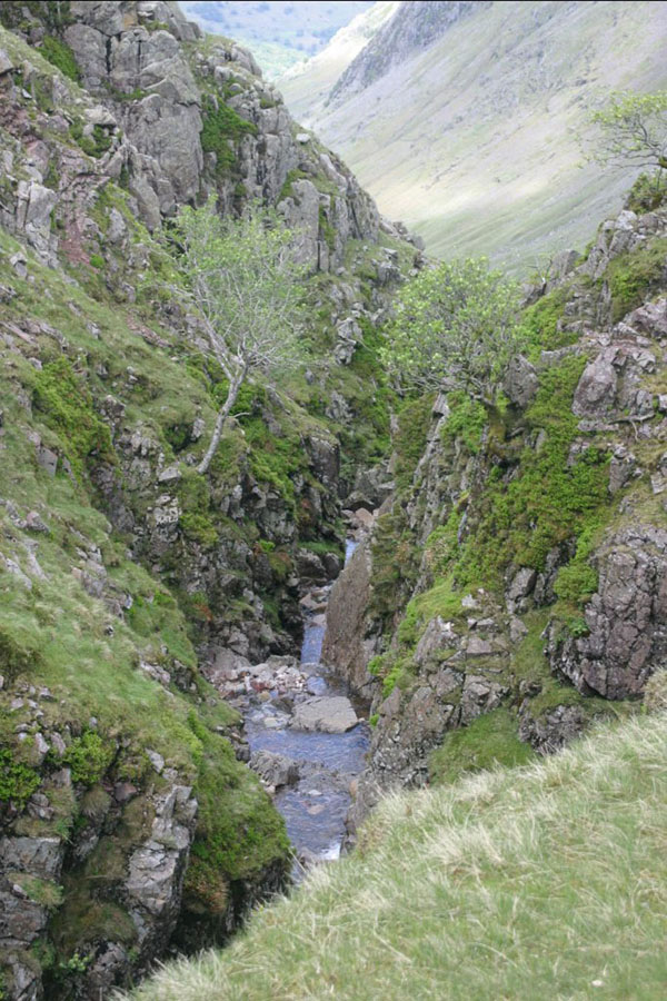
As I said earlier, I abandoned the idea of climbing Glaramara on the way back, and descended pretty much the way I had come up. Did get one nice picture on the way down. though:
Thursday 12th
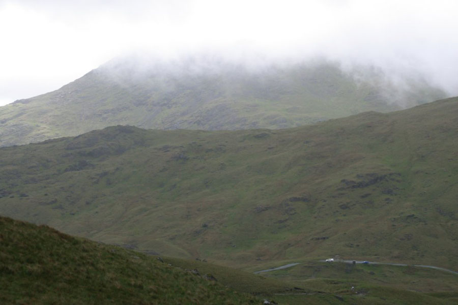
This was to be a difficult peak via an easy(ish) route Crinkle Crags from the Three Shires Stone. The good bit is that you start at about 400 metres, so the climb is pretty small. The bad news is that you hit Crinkle Crags from the south - of which more later. Most people do the walk from the north, usually from Mickledon and up past Three Tarns, but I like an easy life. The weather was even worse than the Wednesday, with low clouds at about 500 metres, and some fairly serious rain showers. The wind was pretty strong too: about force five gusting six. As you will see from the pictures, the cloud only really strted to break about forty minutes after I started the descent, so there's not much to see on the way up. But this is how it looked from near the bottom; then a view back towards Wrynose Pass, with what I think is Wetherlam lost in the clouds: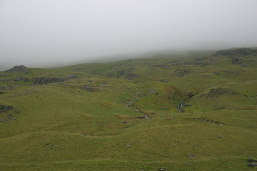
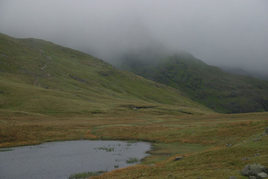
Even before I'd got as far as Red Tarn (this one, not the one below Helvellyn), I was in the clouds:
My Satmap would be earning its keep this trip, as the view up was pretty murky. Crinkle Crags is somewhere up there. Somewhere. I should point out that I also have a map and compass as I'm not an idiot. Well, not about hill walking anyway. The Satmap I find is great for telling me where I am, but there's no substitute for a proper map to get everything into perspective.
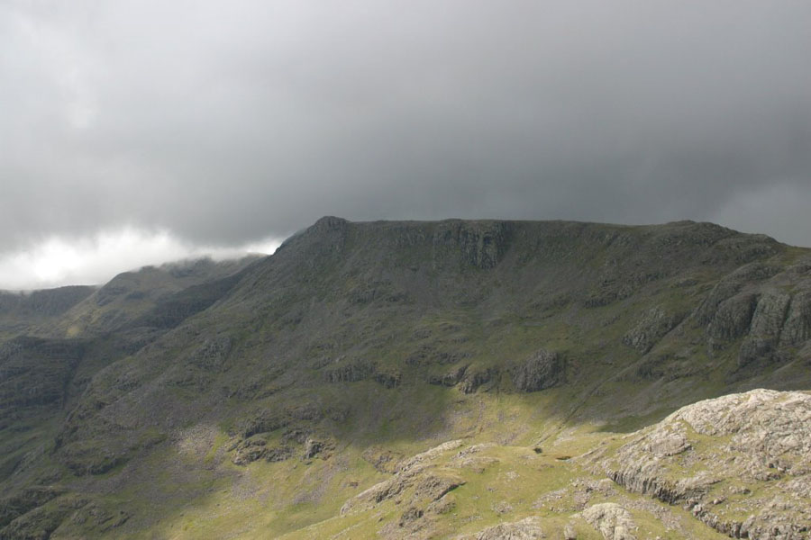
It's not a hard walk, but the low cloud did make it a rather dull one. Although it did do the good job of making sure I couldn't see some of the long and steep drops on either side. Crinkle Crags proper is a series of rocky peaks along a ridge, with the second along from the south the highest. As you can see from this handy photo:
I'm trying to remember what that picture is: I think it's the view up to the top of the second peak from the first one. But really, **** knows - without the Satmap it would be pretty easy to be unsure how far you had got. For a little while anyway. But I got over the first peak, went down the dip and back up towards peak two. This is what greets you as you approach the top: the infamous Bad Step:
It's hard to make out in the murk, but essentially you walk up a forty degree slope into a canyon, which narrows and then stops, covered by a rock slab. The only way up is that rock pitch on the right, which is over 4 metres high. What the photo does not show is what is behind me: the slope runs back to the ridge, which at that point is only a couple of metres wide. On either side of that ridge is a steep slope running hundreds of metres down. The Mickle Door side is very steep: I've seen cliffs with less ambition. If I fell off the Step, and failed to stop on the ridge, it's a long way down. Bearing in mind that I've not seen another soul at this point, and that the rock is very slippery, discretion wins and I stop here. Bite of lunch, then it's time to go back. There is a way around; the path dips down to the left, and then runs around the flank. But to get to the top you need to go right past, then back, and I decide I can't be bothered. I've done one of ther Crinkles, but the other four will have to wait - ideally for better weather. Next time I plan to do a more classic route from Mickleden, but again turn back before the Bad Step.
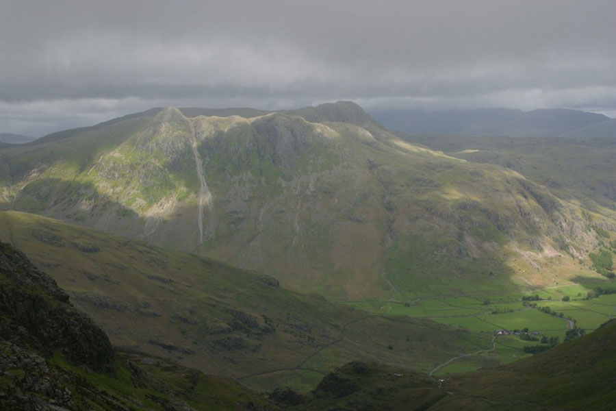
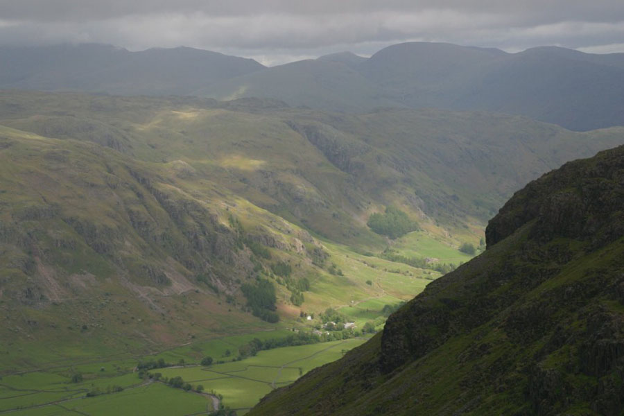
On the way down the weather started to break a little, and at last I could get some views. These were taken from Great Knot, looking through the gap between Crinkle Crags (off to the left) and Pike of Blisco (off to the right). Do you remember that I said I can now identify the Langdale Pikes? Well, that's them in the first picture. The ridge running up to the left, closer to the camera, is The Band, the classic route up to Three Tarns. The second picture is just to the right of the first.
That's the lot. I should be back in September. Shorter days, but usually better weather.