| Lakes Home | Walking Home |
Lake District 15th to 17th September 2009
Quick links (all on this page)
Tuesday: Stony Cove Pike from Kirkstone
Pass
Wednesday: Great End and Scafell Pike
from Seathwaite
Thursday: Whiteside and Raise from
Thirlmere
Tuesday 15th
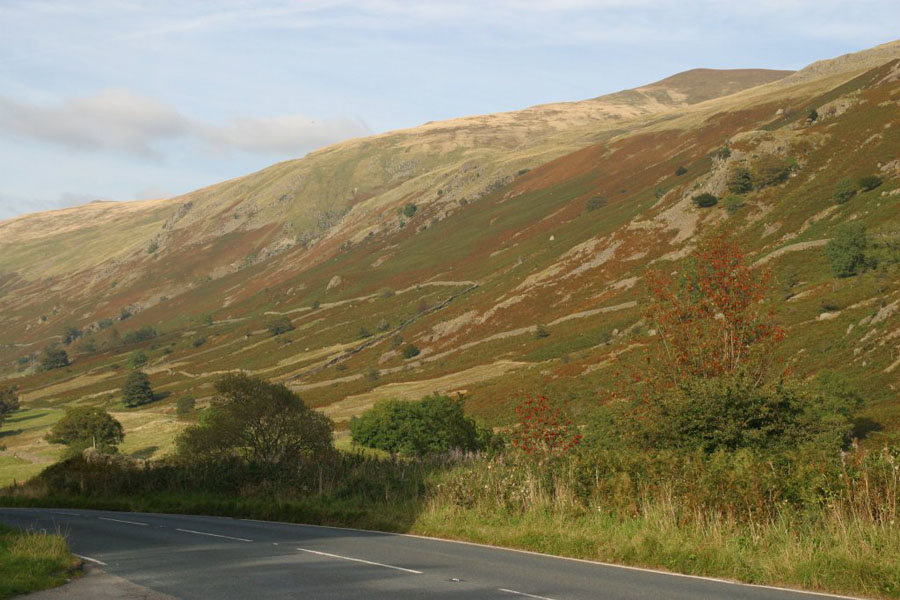
I climbed Stony Cove Pike from the Kirkstone Pass Inn. I chose this because I only got to the start at 13:00 and needed something that I could climb that a) wouldn't take too long, and b) wouldn't knacker the fat old unfit old man (me). You start from just by the pub, go up the ridge behind it, then roughly North until you get to the top.This is the view from the pub car park:
and this is the view North up the Pass.
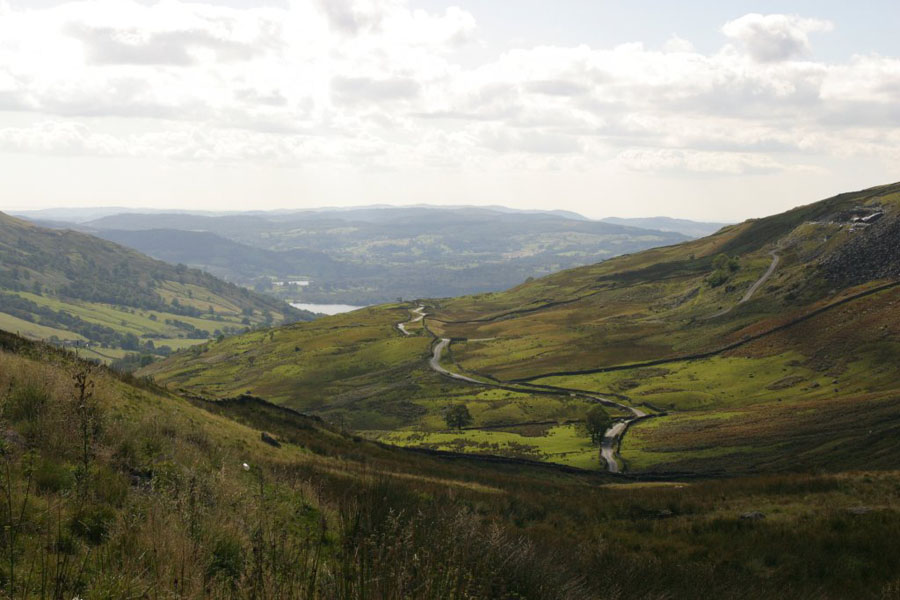
Once you get onto St Raven's Edge, this is the view back towards Lake Windermere and Ambleside:
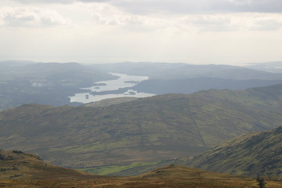
Finally, the top, at a leisurely 763 metres. The views (in order: Windermere, Frostwick and Ill Bell, and the view North-West past Keswick towards the Irish Sea.
Wednesday 16th
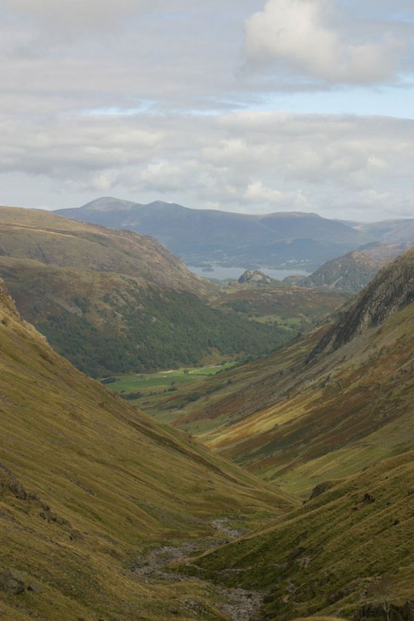
A slightly more ambitious plan: climb Great End, which I failed to find last May, then down and on to Scafell Pike. For those interested, I started at Seathwaite Farm, up the Grain's Gill route, around the base of Great End to Esk Hause, then up Calf Cove and turn right to the summit of Great End. From there it was the traditional route over Broad Crag. Down was a different route: North-West down the slope between Scafell Pike and Broad Crag and then right onto the Corridor Route. From there on to Styhead Tarn and then down Styhead Gill and back to the farm. This is the view from the base - the farm is on the right and Great End is the thing half-hidden by cloud at the back. Those low clouds soon blew away and the weather was pretty much sunny for the rest of the day (as it was all week - this was probably the best weather I've ever had in the Lakes).
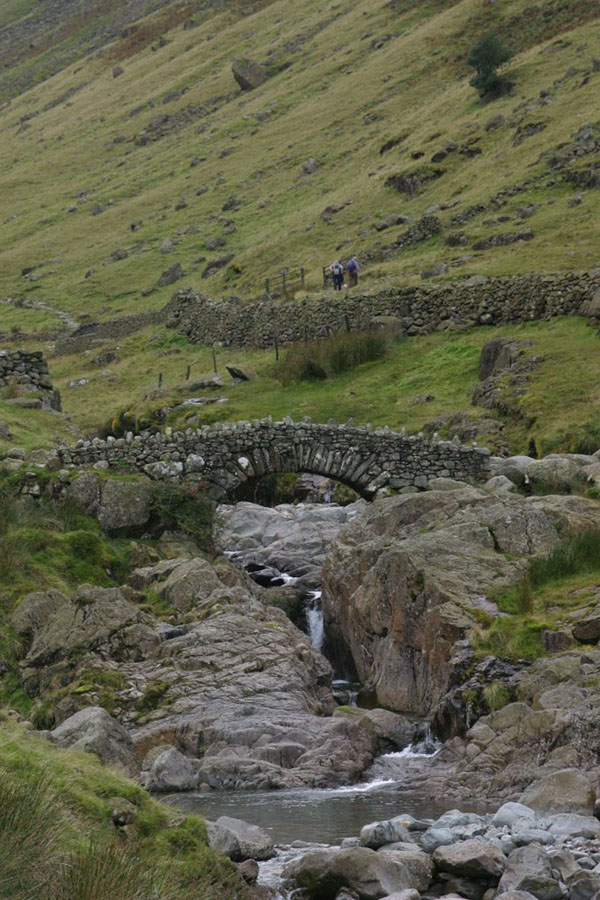
And now, one of the great Lakeland landmarks: Stockley Bridge. I will be going up the path on the left, and coming down the one on the right.
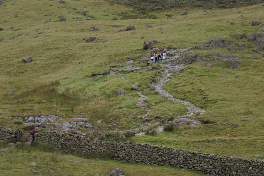
This is the path I'll be coming down. It gets steeper than that later. The second picture puts it in perspective. The crags are Aaron Crags.
Meanwhile, it was up the other path for me:
Down from there is looks like this:
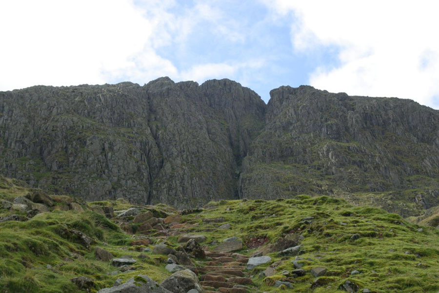
When you finally get to the top of Grain Gill, you get this great view, the cliffs below Great End
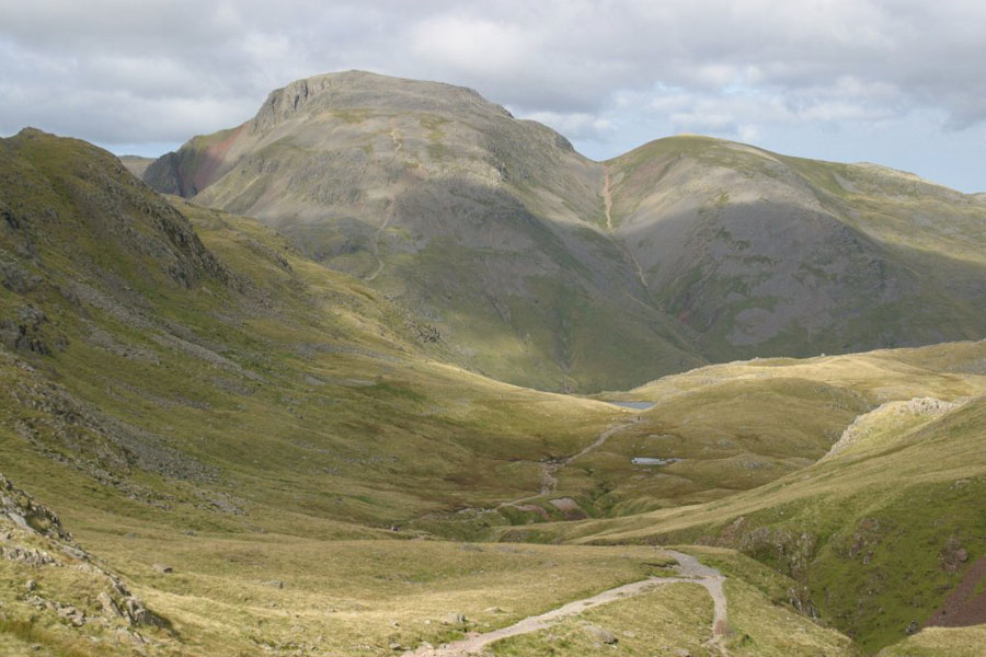
The path goes around to the left, towards Esk Hause. This is the view West, towards Great Gable.
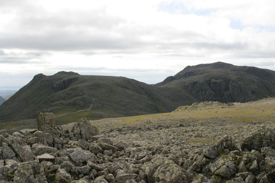
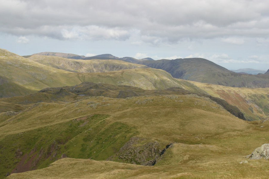
Then a couple of views from the top of Great End (910 meters). First is Broad Crag and Scafell Pike (left and right respectively), the next is the view (I think) East.
From Geat End I went back to the path over Broad Crag, and then down the big gap between Broad Crag and Scafell Pike. It has to be said that the sudden need to lose about sixty metres of altitude, right before the final ascent is a bit depressing. It's also pretty steep on both sides.
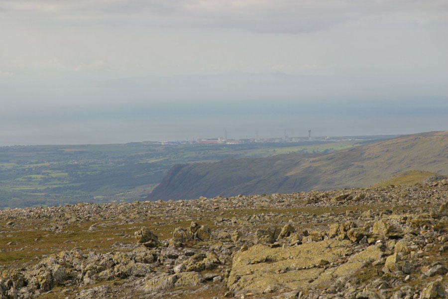
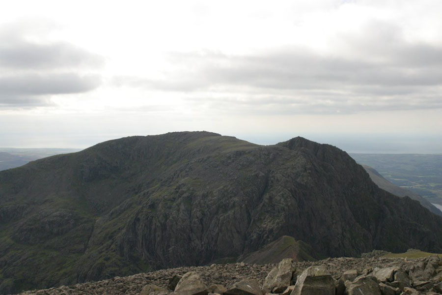
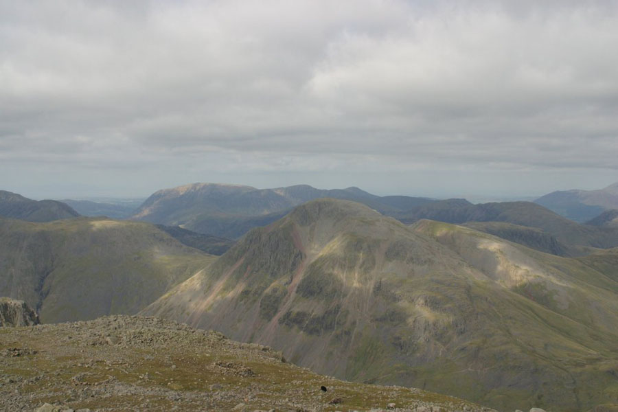
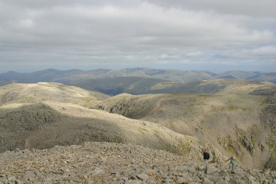
Finally, the views from the summit of Scafell Pike (979 meters). I took a full 360° panorama of photos, but if I stitched them all together the result would be about 20k pixels wide, so here are some of the better ones. The first is Sellafield and the mountains of the Isle of Man in the background, the second is Scafell, the third is the view North and Great Gable, and the last is back towards Great End (left background) and the route up from Broad Crag (right).
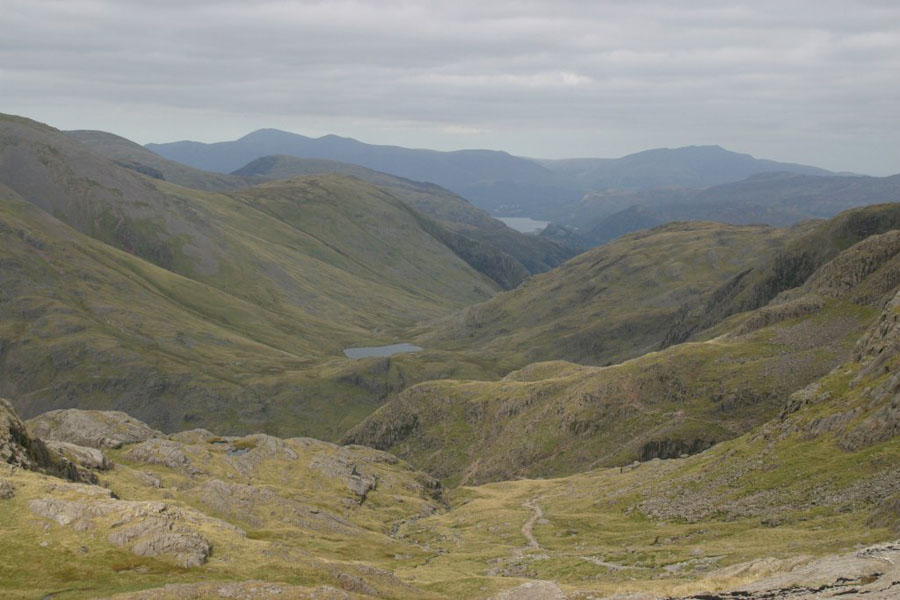
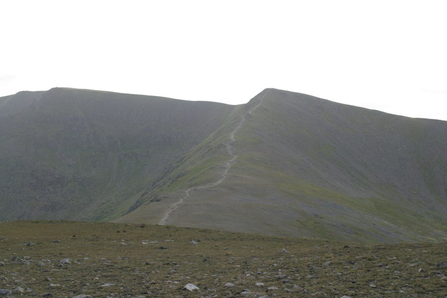
And then it was time to go down again. I had a quick look for the path which is usual route down to the Corridor Route, got bored, and instead went down the scree slope on the North side of the gap between Scafell and Broad Crag. It's very steep. And full of scree. I really don't advise it unless you are pretty experienced. From there it's a straight descent to the Corridor Routre, the classic path used to climb Scafell Pike. Very scenic, but a tad hairy in at least one place: one of yet another places called "Bad Step" - the generic nickname in the Lakes for: "Where the **** did the path go?" In this case there's a brief climb up about three metres if you're going down the path. It's probably a lot more worrying going the other way. In case you do wonder where the path has gone, some kind soul has painted a big arrow on the rockface pointing up.
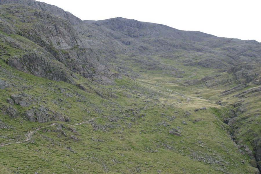
Just a couple of photos of the corridor route, the first up, looking down; and second down, looking up.
Thursday 17th
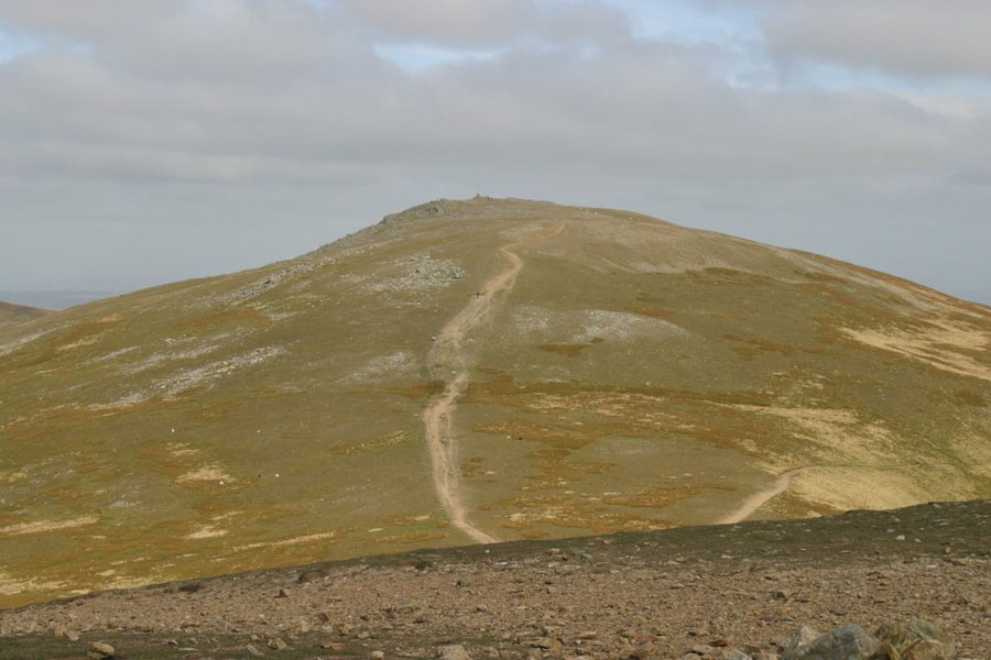
The plan for today was to climb two of the lesser-known hills, Whiteside (technically it's just "the peak above Whiteside" I believe) and Raise. They are two of the peaks on the ridge that runs North from Hellvelyn. After Hellvelyn is Lower Man, then Whiteside, then Raise, Stybarrow Dodd and Watson's Dodd. I would start from the car park off Thirlmere and follow the hillside until Thirlspot farm, then cut east and up the ridge past Brown Crag to the summit. Then along the ridge to Raise, and then down the path West until just above Stanah, before heading South again along the hillside. I probably had time to make Stybarrow Dodd, but certainly not the energy: my legs were pretty still knackered from the previous day. The walk up wasn't very interesting, so I'll just give you this:
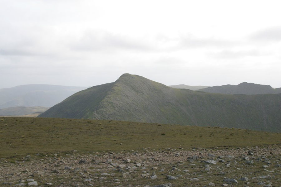
Once at the top of Whiteside, this is Catstye Cam. The next picture is of Hellvelyn (on the far left) and path down from Little Man (the small pea on the right):
There were people mountain-biking down that...
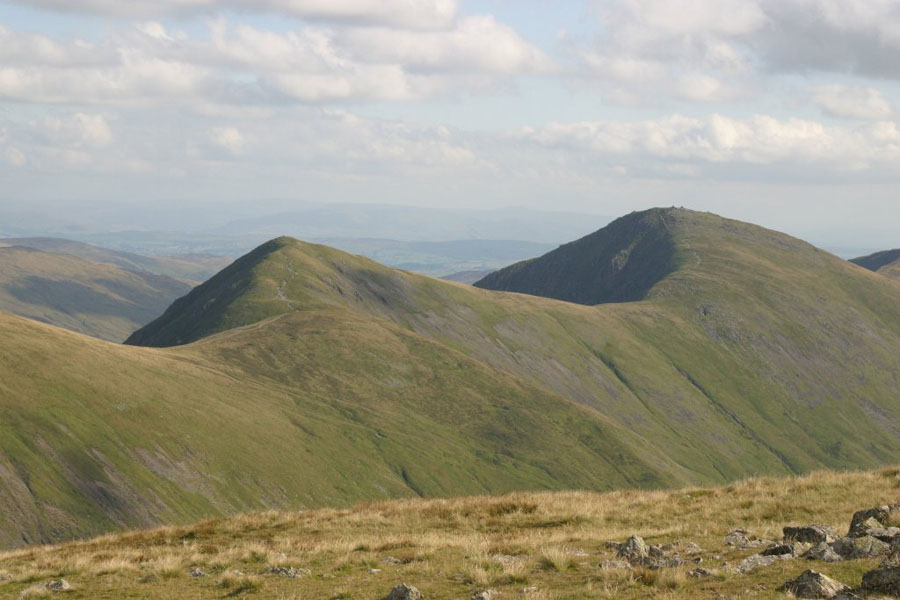
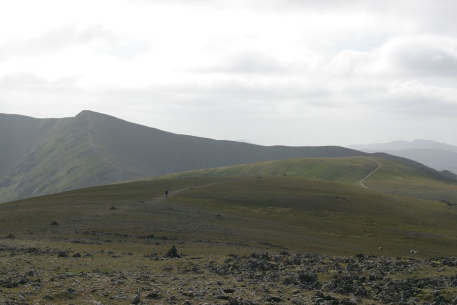
This is where was going next (Raise, and then the rest of the ridge):
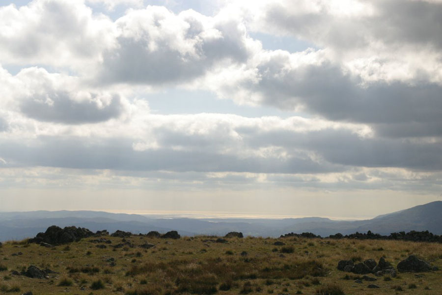
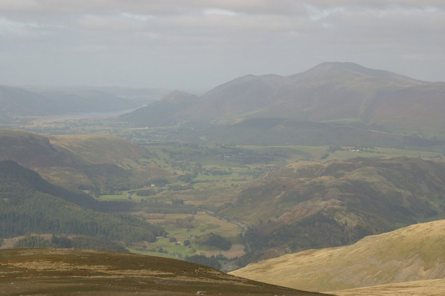
The weather was very hazy down in the valleys, to this is the only picture which came out reasonably well: the view North towards Keswick, with Skiddaw on the right, at the back.
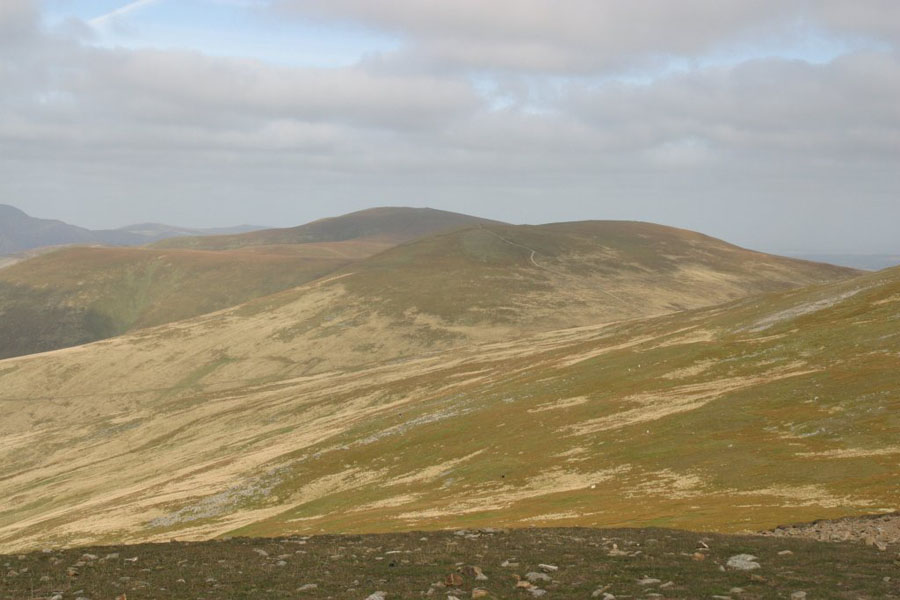
and this is where I was coming from: the view back towards Whiteside (on the right). The change in colour is because this one was straight towards the sun.
Finally, it was back to the car park and a last look back...