
| Lakes Home | Walking Home |
Lake District 5th to 9th September 2011
Quick links (Monday to Wednesday this page, Thursday and Friday another page)
Monday: Stybarrow Dodd to Great Dodd from Glenridding
Tuesday: Grasmoor from Braithwaite
Wednesday: Green Gable from Honnister Pass
Thursday: Glaramara and Allen Crags from Seathwaite
Friday: Fairfield Horseshoe
Monday 5th
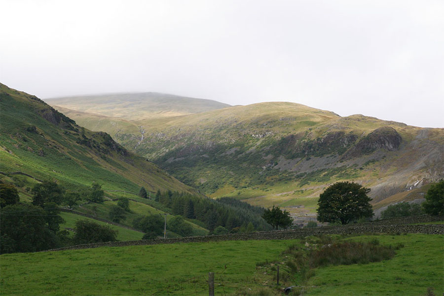
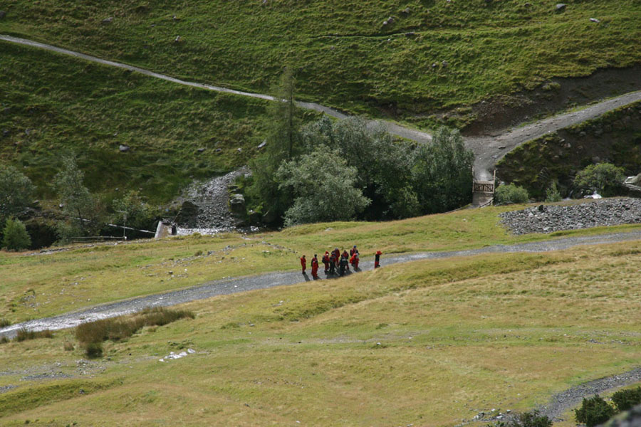
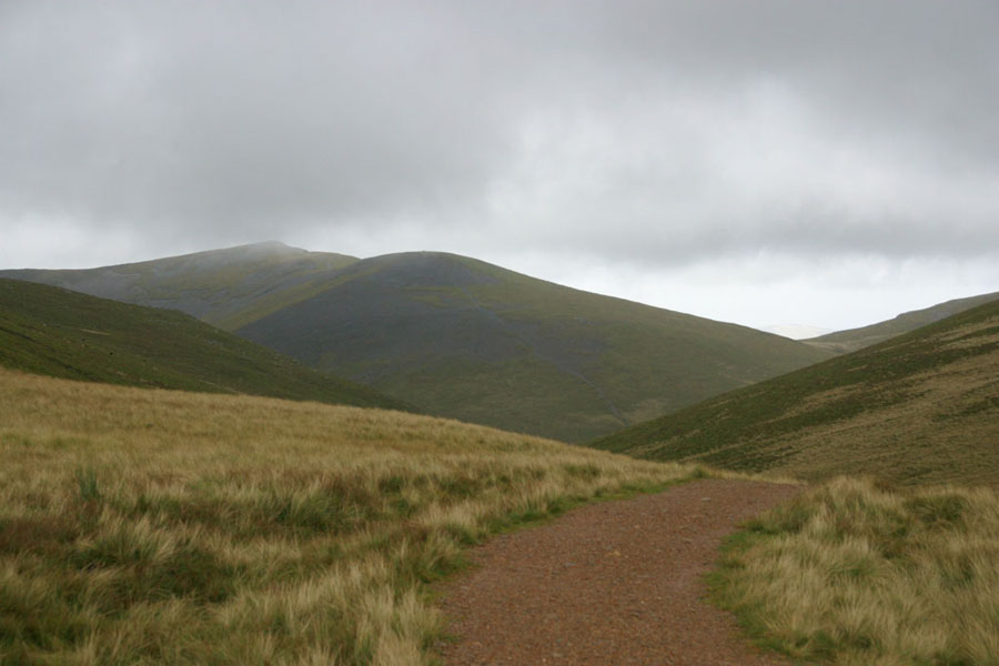
This walk is one to complete a collection. As I think I've said, I'm an unashamed peak-bagger. I don't care how good the view is; the higher the better is what decides where I go. Which is probably why so many of my pictures tend to be of the insides of clouds. In this case I wanted to do the last of the peaks over 700m along the Helvellyn Ridge. I'd already done from Dollywagon Pike to Raise in three other walks, and now I needed to do the northernmost part. Yes, technically Seat Sandal is part of the ridge by some counts, but not by mine: the bit gap between it and Dollywagon Pike breaks the line for me.There are several ways up to the northern end of the ridge, but I eventually decided on Glenridding as a start, going up Sticks Pass from the West, and thus doing the ridge from the south. This is the view up from the valley, with Sheffield Pike lost in the cloud (putting the cloud base at about 650m. Not good news when you will be spending a lot of time above 700m. Sticks Pass itself is out of sight around the bend in the valley.
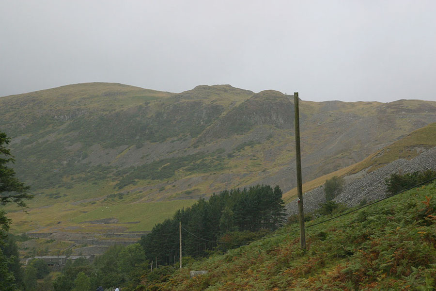
As I walked on, the weather got worse. This next is much the same view, but from nearer the mines. Now Sheffield Pike is lost completely:
It soon got even worse, with bands of rain moving in, but every now and again the clouds would clear in places to give views like this:
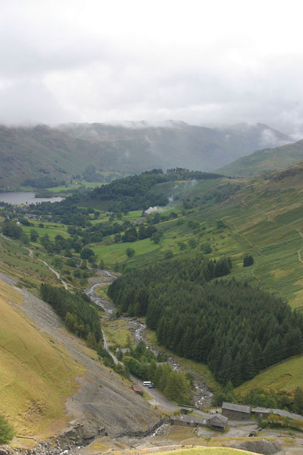
The first picture is Glenridding in the background, and the Youth Hostels below me. The next picture was taken from further up, from around Stang End, just before Glenridding is lost from sight around the corner. In the meantime, another group was heading up the valley. Spot the co-ordinated waterproofs:
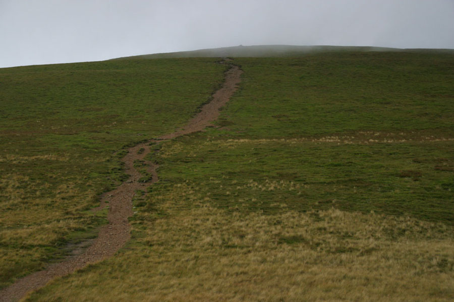
Finally, after a long but not particularly hard walk, I made it to the top of Sticks Pass, in the saddle between Raise and Stybarrow Dodd. By now I was well in the clouds, so the view was typical Lakeland:
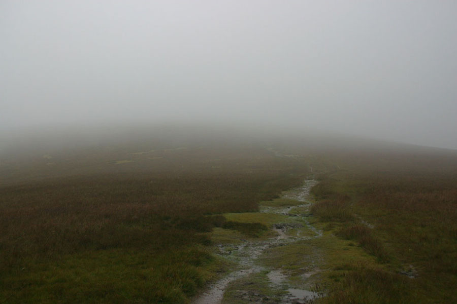
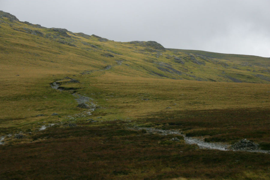
No, really: that is a typical lakeland view: low visibility, a worn muddy path, and a large dollop of hope that you can read a map right. And that your SatMap hasn't run out of battery. Which it did later because I hadn't charged it enough, but that's another story. Those paths are good though (and judging by the number of people I meet navigating by things like a map photocopy or a laminated guide for tourists, it's just as well), as it means that you're probably going the right way. But fairly soon I was on the top of Stybarrow Dodd. Another typical Lakeland scene:
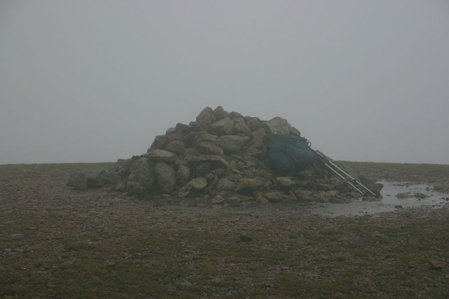
Cairns on the top of peaks are one of the most welcome sights in Britain: it means you've made it! All ways from here are downwards. Although your knees might point out that down is not the same as good. Just better than up. But now I set off for Watson Dodd, the lowest of the three I was walking, at 789m (the other two are well over 800m). Once there the views were much the same, but most of the way to Great Dodd the cloud started to thin a bit, so this is Watson Dodd looking back from near Great Dodd:
The weather never really got any better before I got to the top of Great Dodd without any bother, and so still couldn't see anything. One picture if a summit cairn is my maximum for any walk, so there's no snap of that peak, the highest of the walk. The return trip was a mirror of the walk out, but I managed to lose the path to Watson Dodd for about ten minutes. My SatMap took me fairly quickly though. It,s a common mistake I discovered talking to another walker: you need to turn a fair way to the right after passing a second cairn near the summit and I hadn't turned enough. For most of the area around the peak there's no path, just rock, and the visibility was too poor to pick out the track further away.
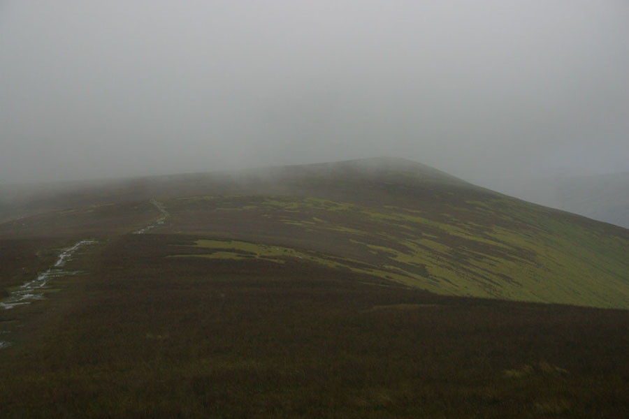
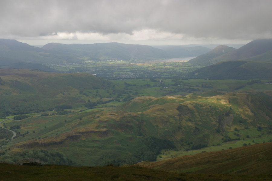
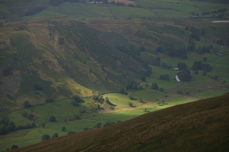
As I got closer to Watson Dodd clouds lifted and thinned a little to about 800m though, so once back I could get a couple of views. Still very murky, but at least I could see. The first is the view towards Keswick, with Skiddaw lost in the clouds on the right. The second, looking over High Rigg and Row Rigg.
After that I returned the way I had come. The only interesting bit was explaining to a DofE instructor how far out his navigation was. Luckily he was waiting for his group, rather than being with it.
Tuesday 6th
After a last-minute thought, I decided to climb Grasmoor. It's an area of the fells I've not been in before. There's a quick (well, short but steep) route up from Buttermere, but I wanted a more gentle walk up from Braithwaite. If time and weather permitted I also planned to walk along the ridge to Crag Hill and then maybe to the circular route via Sail and Outerside. [Spoiler]: the weather was bad so I didn't![/Spoiler]The first half or more of the route is a long almost level trek up the old mine road alongside Coledale Beck:
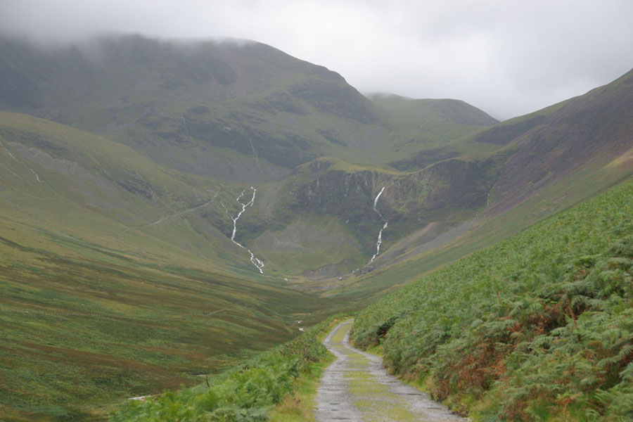
I should point out that the slight murkiness is not just my camera and it's focus being a bit off (damp had got into the viewfinder, making proper focusing impossible), but also the light rain. The walk will take me up the path you see to the left of the waterfalls, up the saddle above and to the right of the falls, and then up to the cloud-covered peak you see just right of centre. It's rare for a whole walk to be seen from a valley, but in this case you pretty much can see the whole thing. The view back to Briatwaite shows the weather conditions:
There was one minor hitch when I got to the "ford" below the mine where I needed to get across to the other side of the beck: the stepping stones were under six inches of fast flowing water. If you've never tried it, then I have to tell you that keeping your balance and not fall into the water is surprisingly hard, but I got across and the gaitors kept the water out of my boots. After that it was that climb you saw before, unit the ridge, then a left turn up a more gentle slope:
That's actually the view back down, with Sand Hill and behind it Ladyside Pike. As you can see, the fells here are a lot more gentle than most of the others I usually frequent. At the top of this path there was a branch right, leads towards the summit:
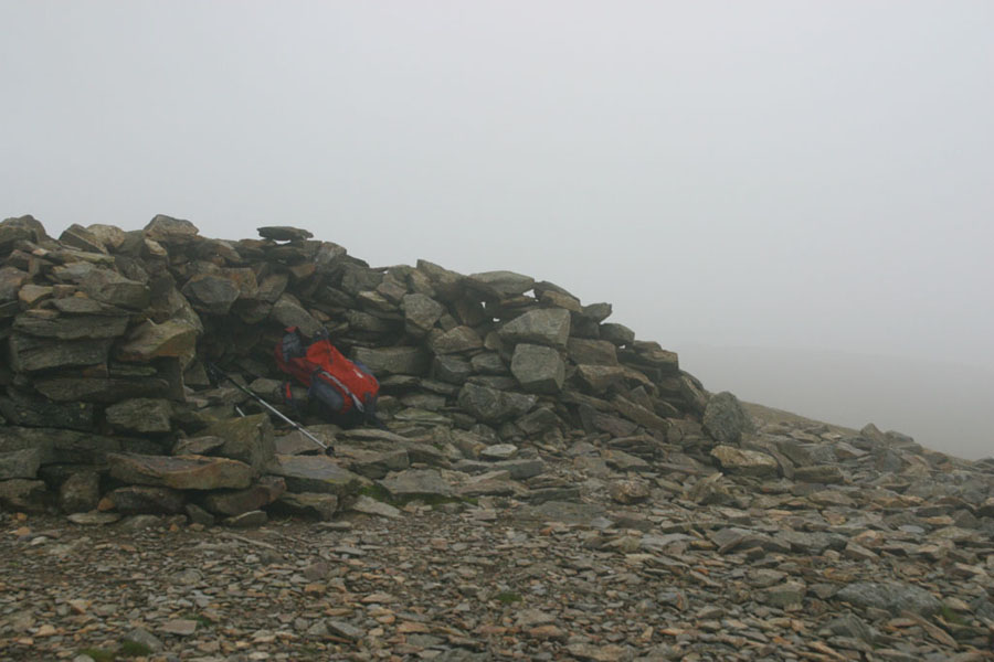
Veterens of hill walking will unsurprised to know that the cairn is not the summit, but a path-marker at about 750m - well below, and nearly a kilometre short of, the 852m summit. By now the rain has mostly stopped, along with the hail I had earlier, but out of the shelter of the valley it is getting very windy. On occasion there were gusts so strong I was leaning at forty-five degrees into it and just staying still to avoid being blown over. It was the wind more than anything else that put me off doing the rest of the ridge west, and I had decided even before I got to the top of Grasmoor that I would just return the way I came. As you can guess, the top was another Lakeland classic: a big cairn/wind-break and no visibility. You will notice that I've got a newer and better rucksack now though.
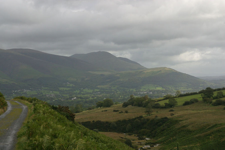
The weather never got any better on the way down, and this view from above Force Crag shows the view back towards Braithwaite. Yes, that's yet more rain coming in from the right.
Wednesday 7th
Wednesday was another last minute idea: a relatively easy walk to the top of Green Gable. Yes, it really is called that: it's peak immediately next to Great Gable, separated by a narrowish valley called Windy Gap (never a good omen). I say easy because I was starting from Honnister slate mine, at the highest part of Honnister Pass. That means starting at around 350m, to climb a peak of 801m. I'm afraid the problems with water getting into my camera was getting worse, so a lot of pictures ended up looking like this: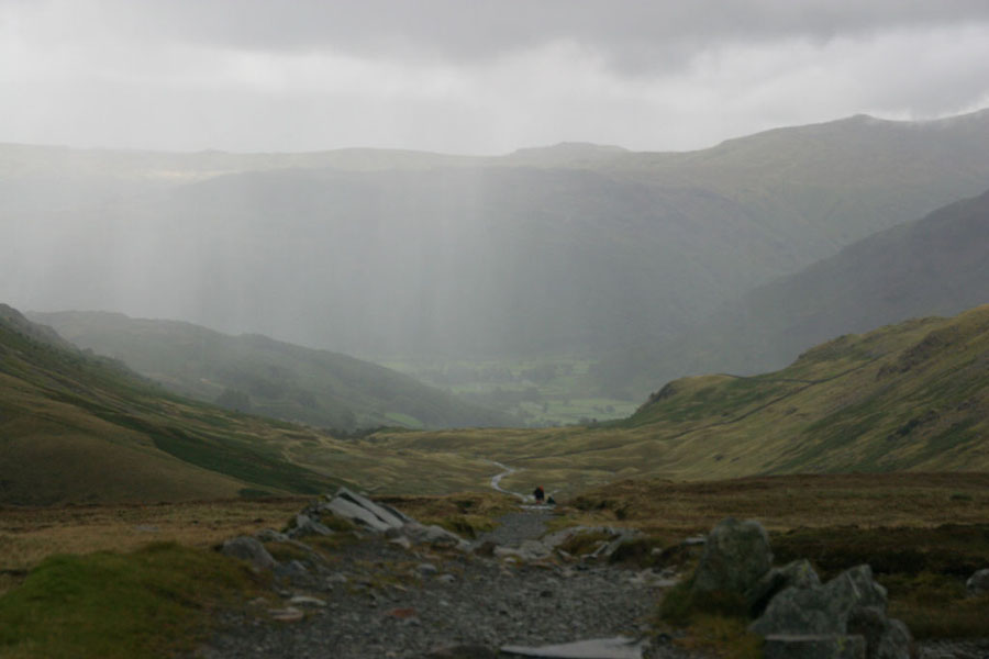
Note the rain in the valley. Well, it was actually pretty much everywhere at that point. The next bit, is this: up past the flank of Grey Knotts, just out of view on the left. You can see how wet the path is.
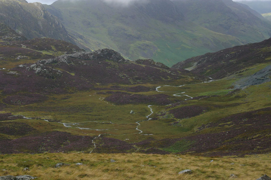
Once below the Grey Knotts, where that path above crosses the ridge, the view down towards Dubs Bottom looks, well, purple.
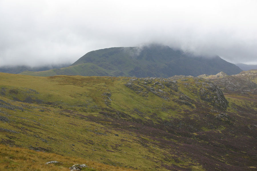
To give an idea of important navigation is, and how much all these big hills look alike to me, as I came around the edge of Grey Knotts, this pair of peaks hove into view, and for some time I thought they were my destination. Remember, I'm looking for two peaks quite close together. Except I realised about fifteen minutes later that that peak is actually (I think) Pillar, and the ridge on the left goes up towards Kirk Fell.
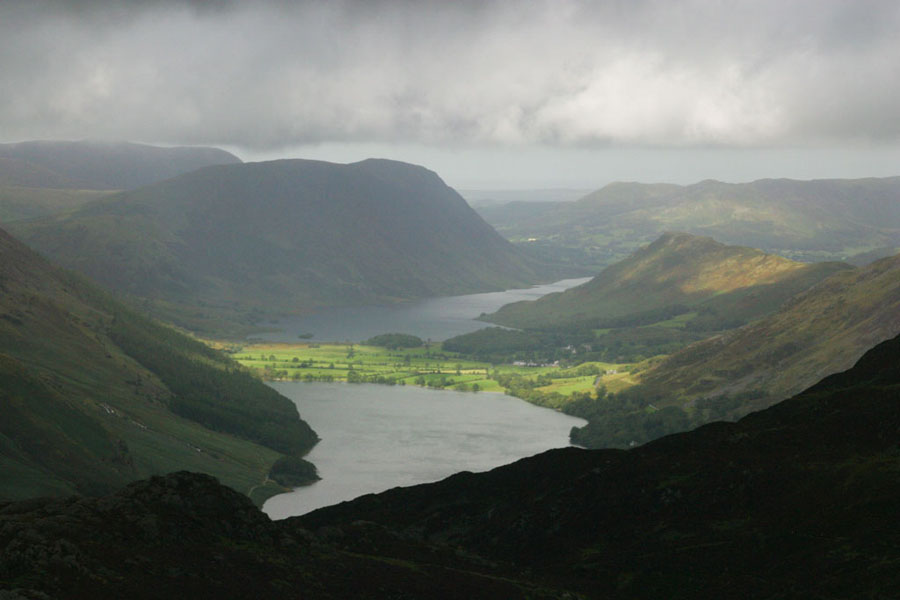
But from up here, and still below the clouds, there's a great view down Buttermere. And with the aid of a wide-angle lens for the second photo, down Buttermere (left) and Derwent Water (right)
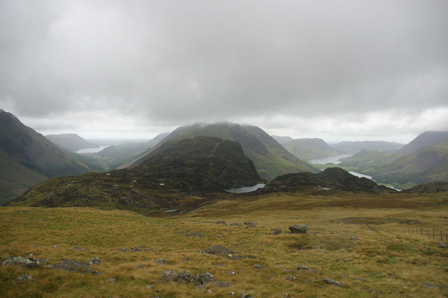
From here, I took a slight detour to the top of Brandreth, partly to make sure I knew where I was, but mostly to tick off another 700+ metre peak; 715m in this case. From her my destination could now be seen: that's Green Gable on the left, and Great Gable hidden in the clouds on the right, with Windy Gap between them. The weather was still bad: bursts of heavy rain and non-stop strong winds. I ran into one couple who had got to the top of Brandreth and decided to call it a day.
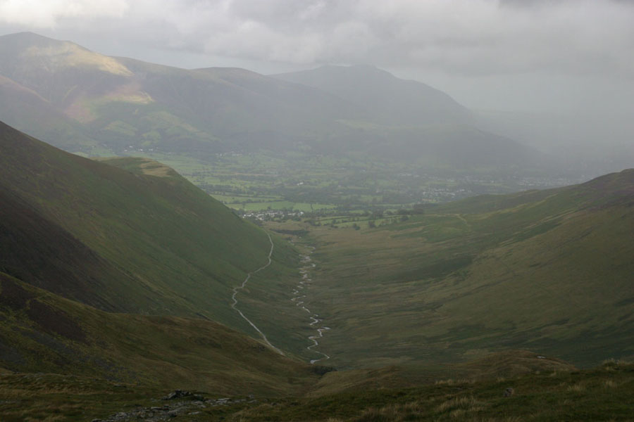
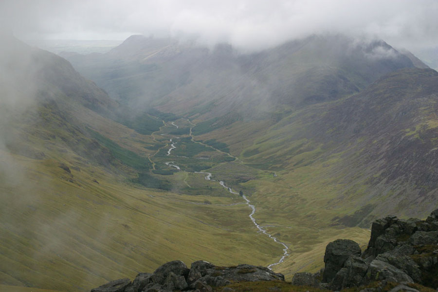
Once at the top, the clouds were barely above my head, and you really couldn't see great gable most of the time, but a brief break gave me this view down Ennerdale:
After that it was back to Honnister the same way, except round Brandreth rather than over it.