
| Lakes Home | Walking Home |
Lake District 5th to 9th September 2011
Quick links (Monday to Wednesday another page page, Thursday and Friday this page)
Monday: Stybarrow Dodd to Great Dodd from Glenridding
Tuesday: Grasmoor from Braithwaite
Wednesday: Green Gable from Honnister Pass
Thursday: Glaramara and Allen Crags from Seathwaite
Friday: Fairfield Horseshoe
Thursday 8th
This was one of the walks I had on my list before I arrived in the Lakes, unlike the last two, which were improvised. It looks simple on a map, but is longer and harder than that in real life. The route is to walk up Glaramara from the north end of the ridge near the B5289 and across Thornythwaite Fell, then continue South to the top of Allen Crags, and then down to near Esk Hause before returning to the valley down Grain's Gill. Although the two main peaks are similar, at 783m and 785m, there's a lot of drop between them, and the total climb is a little under 1100m. The start point was the road up to Seathwaite, and the weather was still bad: clouds down to about 400m and rain for the first couple of hours. It got better later though, as you will see.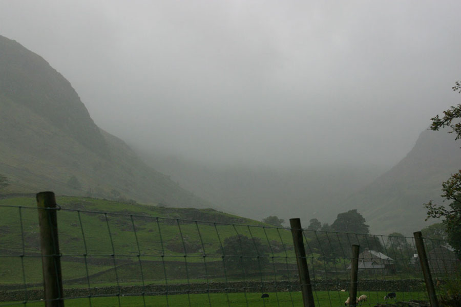
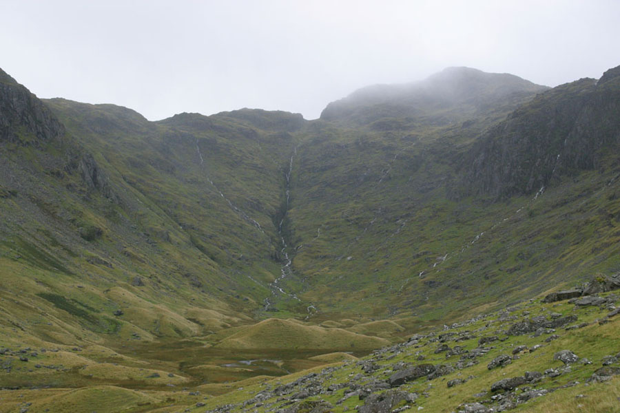
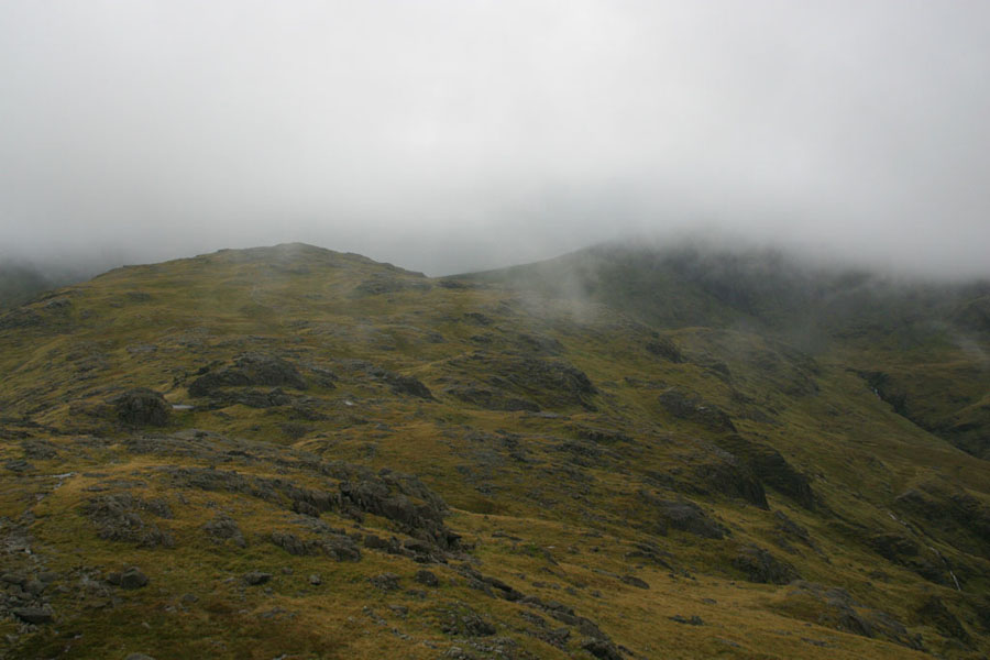
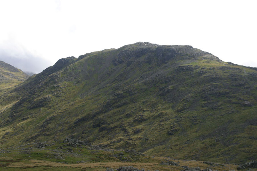
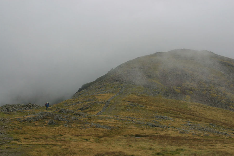
This next picture is the view up towards Combe head, the peak with the clouds on top. That summit is alittle below 700m, so you can see that the cloud has risen a bit over the hour or so it took to get here, but it stayed at that level for a while, so there aren't many pictures of the walk as far as Glaramara itself.
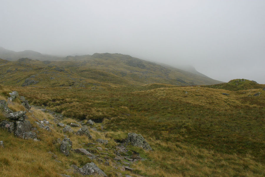
This walk is a more traditional one because there's not of those made paths that cover a lot of the Lakes, particularly on popular bits. I don't have a problem with them, although I know a lot of purists hate them. But without those made paths, the going is slower. This walk was rocky, and also boggy in a few places. You could see the footpath here and there, and then it was up to you to make it to the next bit. The next picture is taken on the stretch above Combe Head: see if you can spot the path. The stones in the middle at the bottom are part of it.
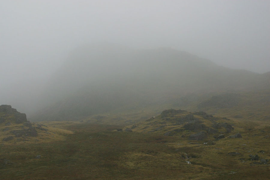
And finally, the summit of Glaramara came into view. Sort of. I think...
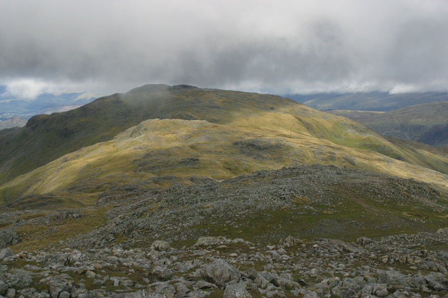
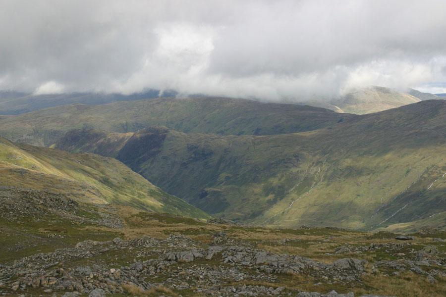
It's also a bit disconcerting doing Glaramara from the north, because the path leads you straight to the bottom of a sheer rock face about ten metres high. OK, only the bottom part is sheer, but it doesn't get much better until you reach the top. I went around to the west and up the side. I couldn't see anything, as you can probably tell. Once off the top and heading south again, it was about 13:30 and the clouds were finally starting to thin out. You could now almost see Allen Crags at the end of the short ridge, here on the far right.
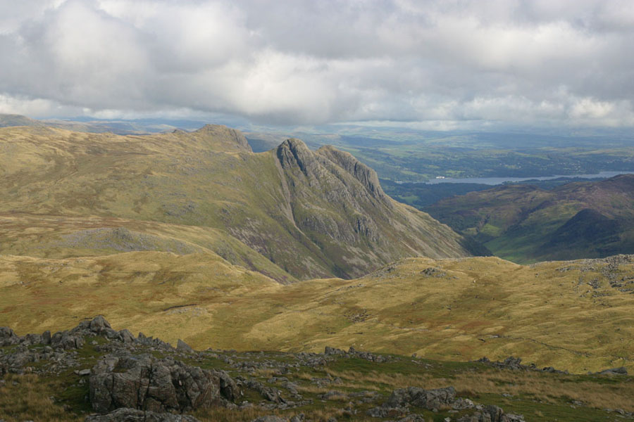
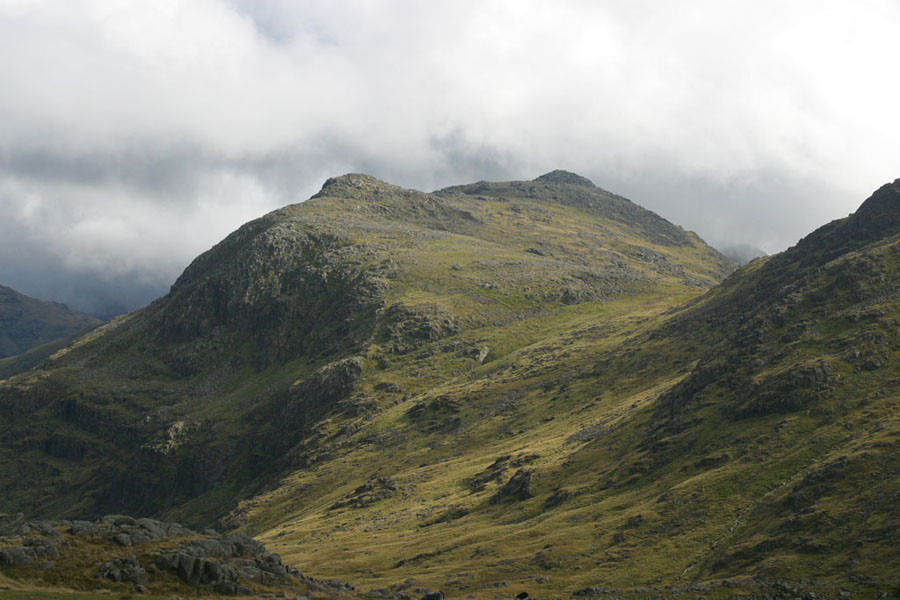
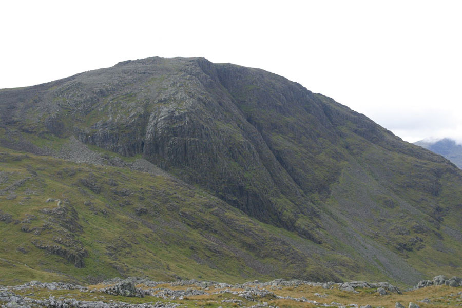
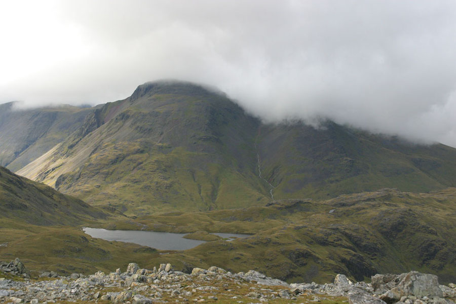
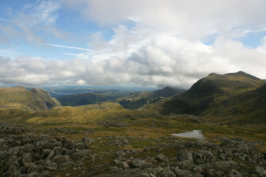
That walk, between the two peaks, is about two kilometres, and it took me about an hour to cover it. The ground is very rocky, with no obvious routes. I only fell over once, but it did hurt. But by the top of Allen Crags the skies had cleared considerably, so I'll just show you what I could see.In order, the pictures show: the view back towards Glaramara, the Langdale Pikes (yes, I recognised them, even from this unusual angle), Bowfell, Esk Pike, High Raise in the distance, the cliffs below Great End (the sight that greats you at the top of Grains Gill), the view across Sprinkling Tarn towards Great gable and Green Gable (left and right respectively), and finally, a panorama shot showing the Langdale Pikes on the left and Bowfell on the right.
Friday 9th
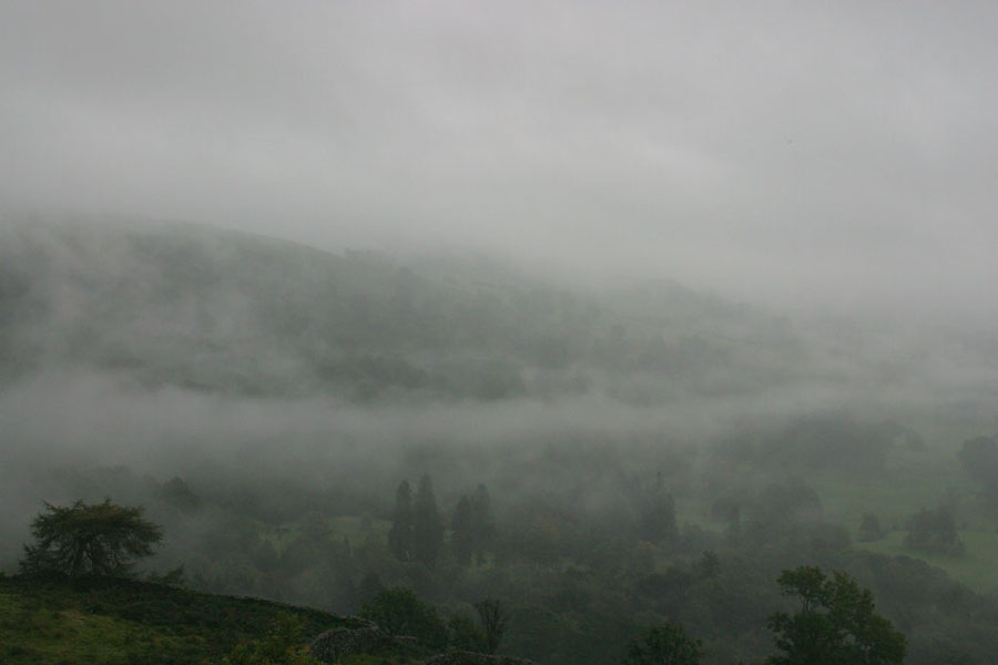
For various reasons, none of them very interesting, I thought that this might likely be my last trip to the Lakes for some time, possibly forever. This meant a memorable last walk. After much thought I decided to end with one of the first walks I ever did here, that old classic the Fairfield Horseshoe. In this case I'd do it clockwise, as I did last time, starting at Rydal and getting the steep climb up Nab Scar out of the way first thing. This was a walk that was on my list to repeat when the weather was better only, as last time I hadn't been able to see a thing for most of the walk. In the event, it was the same: the clouds lingered around 500m and I couldn't see much from the when I reached the top of Nab Scar until I got below Low Pike. About 80% of it in other words. There were a couple of brief breaks in the cloud, but in most cases they had closed up before I could even get the camera out. But the day at least looked pretty when it started. The first two pictures are Nab Scar looming out of the mists, and the second is the view back down towards Rydal from the flank of Nab Scar.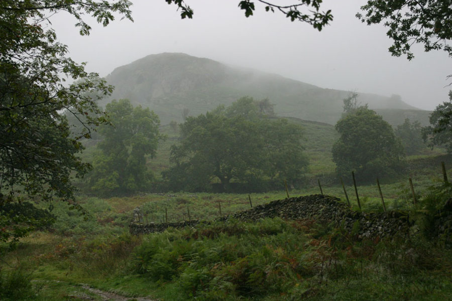
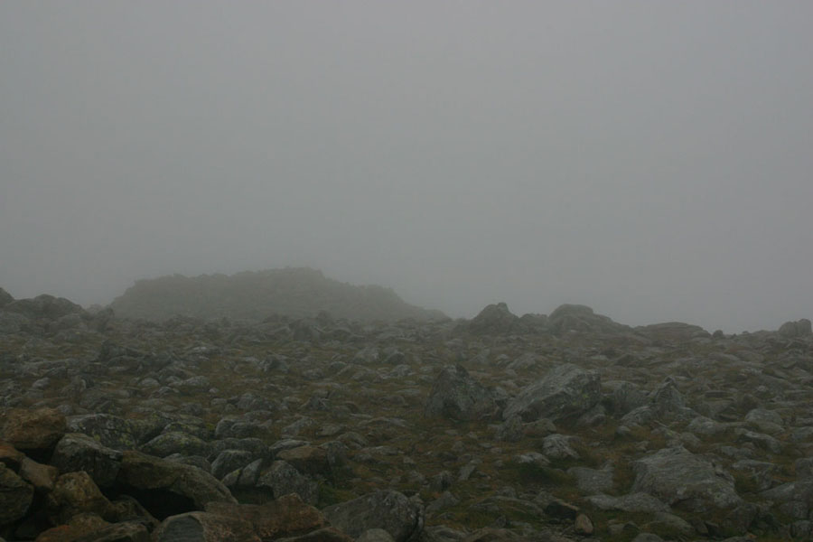
I'm afarid that I pretty much gave up after that. To give an idea, this was the summit of Fairfield, with the view of one stone shelter from the cover of the other. The weather was worse than it looks.
I got one other usable picture, possibly my last of the Lake District: the view back up Dove Crag:
And after that it was just a long slog down to Ambleside. The only thing remaining is to pimp the B and B I always stay at there, Meadowbank.